- Nærøyfjord
-
West Norwegian Fjords:
Geirangerfjord and Nærøyfjord *UNESCO World Heritage Site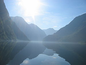
Country Norway Type Natural Criteria vii, viii Reference 1195 Region ** Europe Coordinates 60°56′37″N 6°55′53″E / 60.94361°N 6.93139°ECoordinates: 60°56′37″N 6°55′53″E / 60.94361°N 6.93139°E Inscription history Inscription 2005 (29th Session) * Name as inscribed on World Heritage List
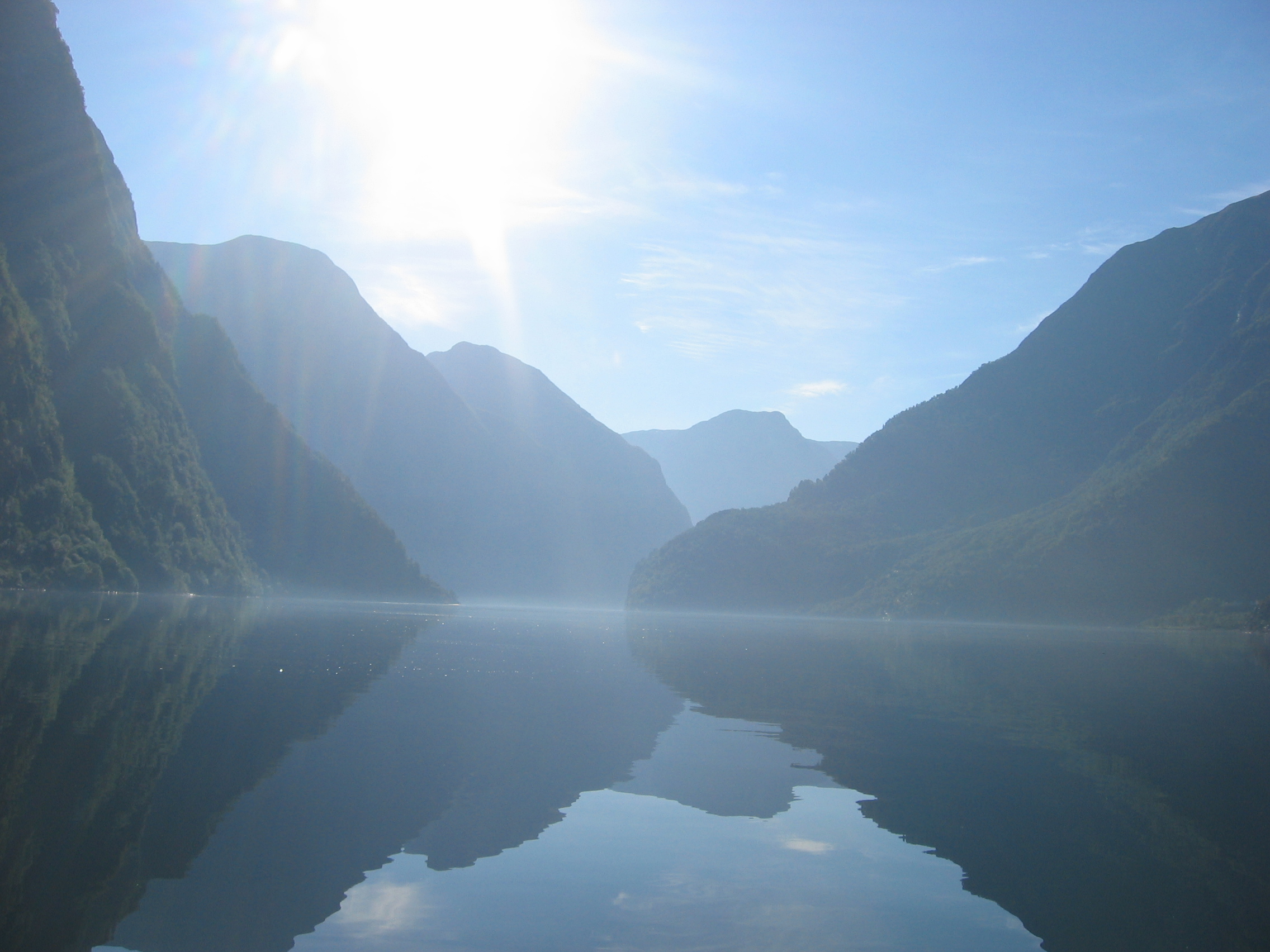
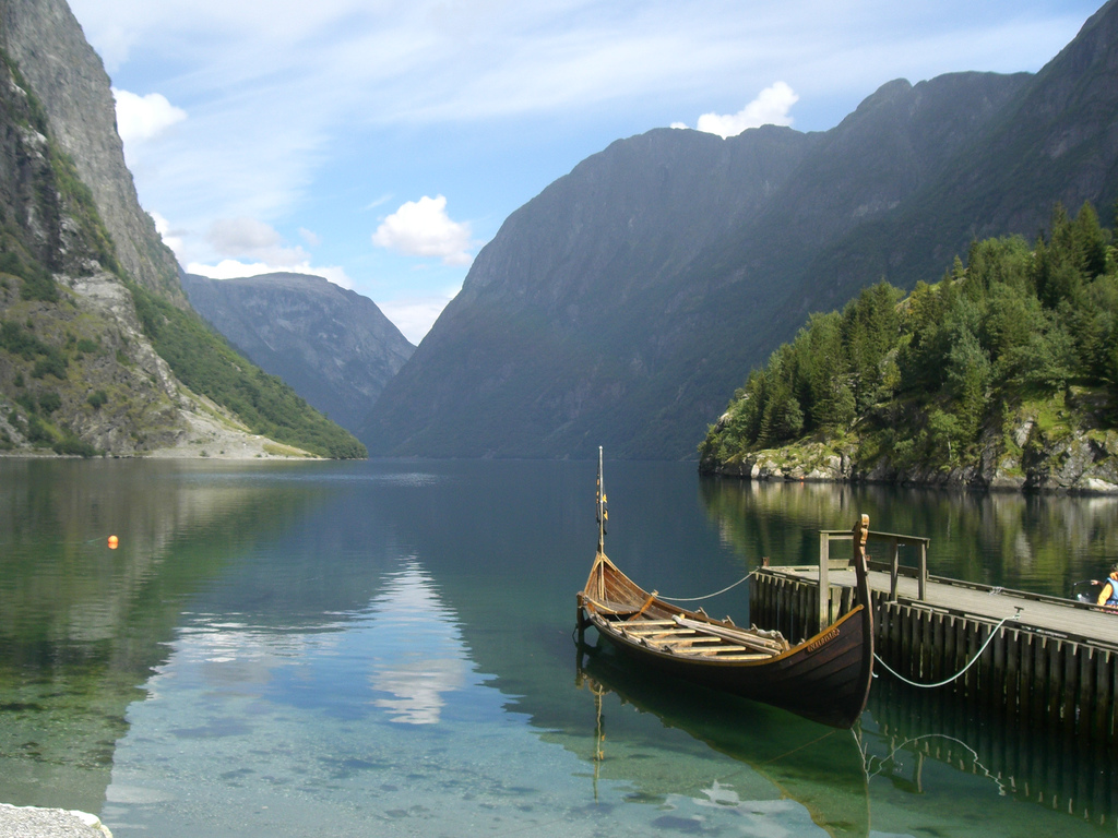
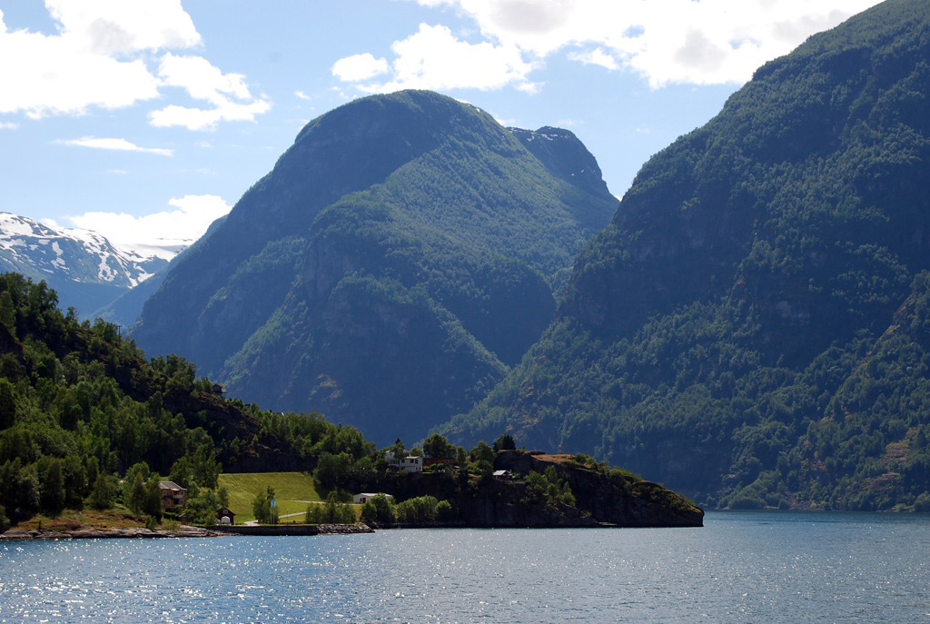
** Region as classified by UNESCOThe Nærøyfjord (or Nærøyfjorden) is a fjord in the municipality of Aurland in Sogn og Fjordane, Norway. The narrow fjord is a branch of the large Sognefjord, and it is featured on the "Norway in a Nutshell" daytrips for tourists. The 18-kilometre (11 mi) long fjord is only 500 metres (1,600 ft) wide in some parts.[1]
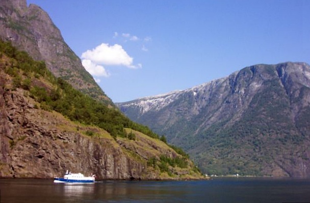
The river Nærøydalselvi flows down the valley Nærøydalen into the fjord at the village of Gudvangen, near the highway E16. The village of Bakka and the Bakka church are located on the west shore of the fjord.
Since 2005, the Nærøyfjord has been listed as a UNESCO World Heritage Site. It has also been rated by the National Geographic Society as the world's number one natural heritage site along with the Geirangerfjord.
Media gallery
-

Nærøyfjord
-

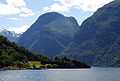
View from Gudvangen
-

Gudvangen ferry
-
Nærøyfjord
References
- ^ Store norske leksikon. "Nærøyfjorden" (in Norwegian). http://www.snl.no/N%C3%A6r%C3%B8yfjorden. Retrieved 2010-09-05.
External links
 Media related to Nærøyfjorden at Wikimedia Commons
- Nærøyfjord Website
- Official tourist information
World Heritage Sites in Norway Northern Rock Art of Alta · Struve Geodetic Arc1 · Vegaøyan – The Vega Archipelago

Trøndelag Røros Mining Town
Western Bryggen · Urnes Stave Church · West Norwegian Fjords – Geirangerfjord and Nærøyfjord
1 Shared with nine other countriesCategories:- World Heritage Sites in Norway
- Sogn og Fjordane geography stubs
- Fjords of Sogn og Fjordane
- Aurland
-

Wikimedia Foundation. 2010.