- Mullaley, New South Wales
-
Mullaley
New South Wales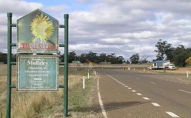
Entry sign to Mullaley, NSW
 Mullaley
Population: 217 (2006 Census)[1] Established: 1885 Postcode: 2379 Elevation: 315 m (1,033 ft) Location: LGA: Gunnedah Shire Council County: Pottinger Mullaley is a village on the Oxley Highway, 38km west of Gunnedah. The Coxs Creek runs across the highway on the western side of the village. Mullaley is on the crossroads of the roads from Boggabri in the north, Premer in the south, Gunnedah in the east and Coonabarabran in the west. The surrounding area is part of the highly fertile Liverpool Plains region. At the 2006 census, Mullaley had a population of 217 people.[1]
The Mullaley district has an agricultural community that produces wheat, other grains, fat lambs and beef cattle.
On 14 October 1999 a 40 minute storm dumped 76 mm of rain and hail on the Western Liverpool Plains region around Mullaley causing damage to dozens of farms. The heavy rain that fell caused localised flooding. Numerous homes were flooded as hail-clogged roof guttering overflowed.
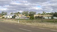
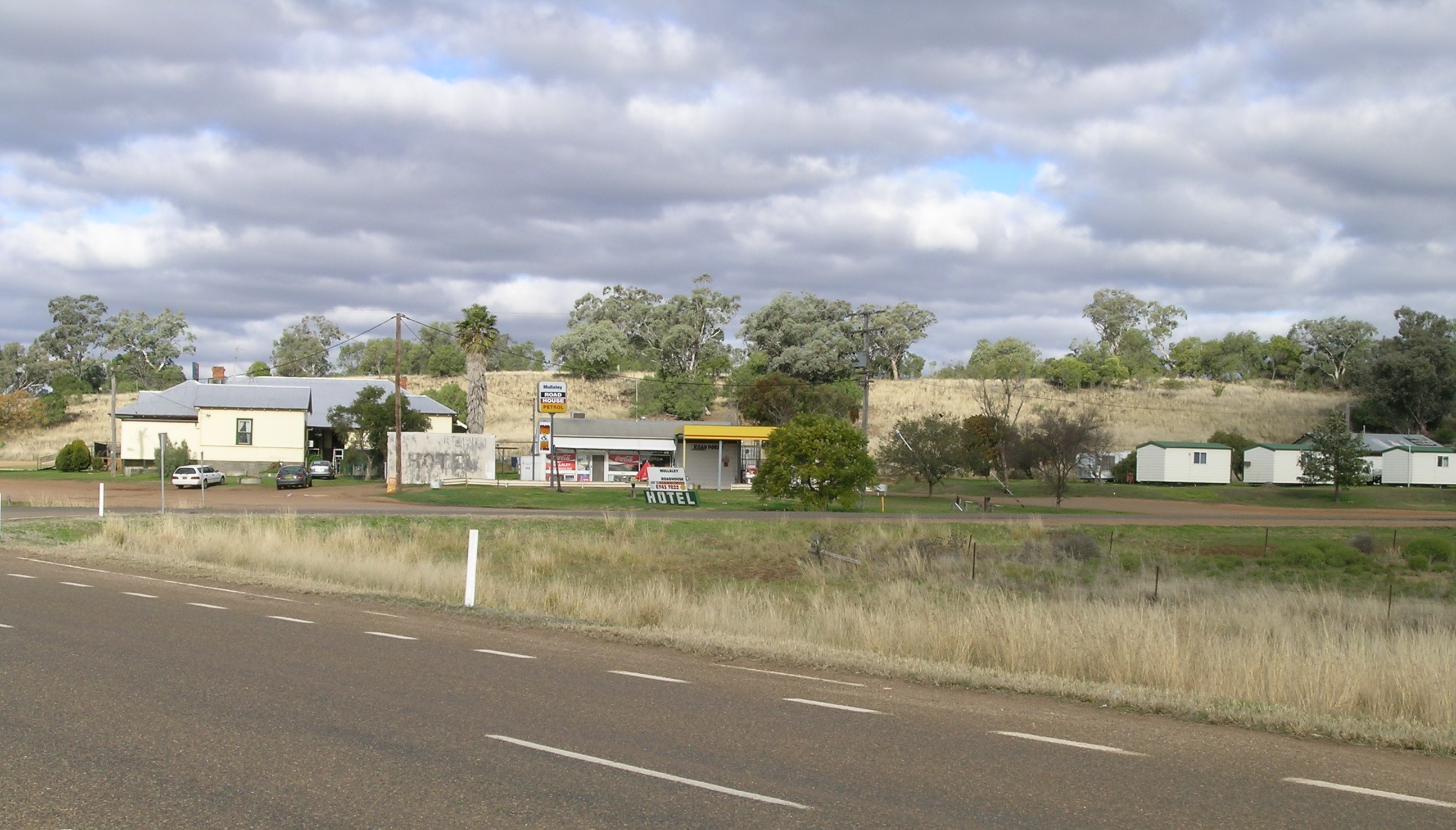
According to the entry sign (2008) there are 102 people in the village. The village now has a public school, sports ground, roadhouse, hotel, bus service, store, park and a stone war memorial with an honour roll.[2] The Goolhi Graves on Old Goolhi Station, Mullaley have been placed on the Register of the National Estate.[3]
References
- ^ a b Australian Bureau of Statistics (25 October 2007). "Mullaley (State Suburb)". 2006 Census QuickStats. http://www.censusdata.abs.gov.au/ABSNavigation/prenav/LocationSearch?collection=Census&period=2006&areacode=SSC18229&producttype=QuickStats&breadcrumb=PL&action=401. Retrieved 4 November 2009.
- ^ http://www.warmemorialsnsw.asn.au/Details.cfm?MemNo=623
- ^ Aussie Heritage: http://www.aussieheritage.com.au/listings/nsw/Old%20Goolhi%20Station-%20Mullaley/GoolhiGraves/4414
 Mullaley, NSW
 Categories:
- Towns in New South Wales


Wikimedia Foundation. 2010.