- Nevada State Route 163
-
State Route 163
Laughlin Highway Route information Maintained by NDOT Length: 19.256 mi[1] (30.990 km) Existed: 1978 – present History: SR 77 by 1942 Major junctions West end:  US 95 north of the California state line
East end:  SR 95 near Bullhead City
Highway system ←  SR 161
SR 164  →
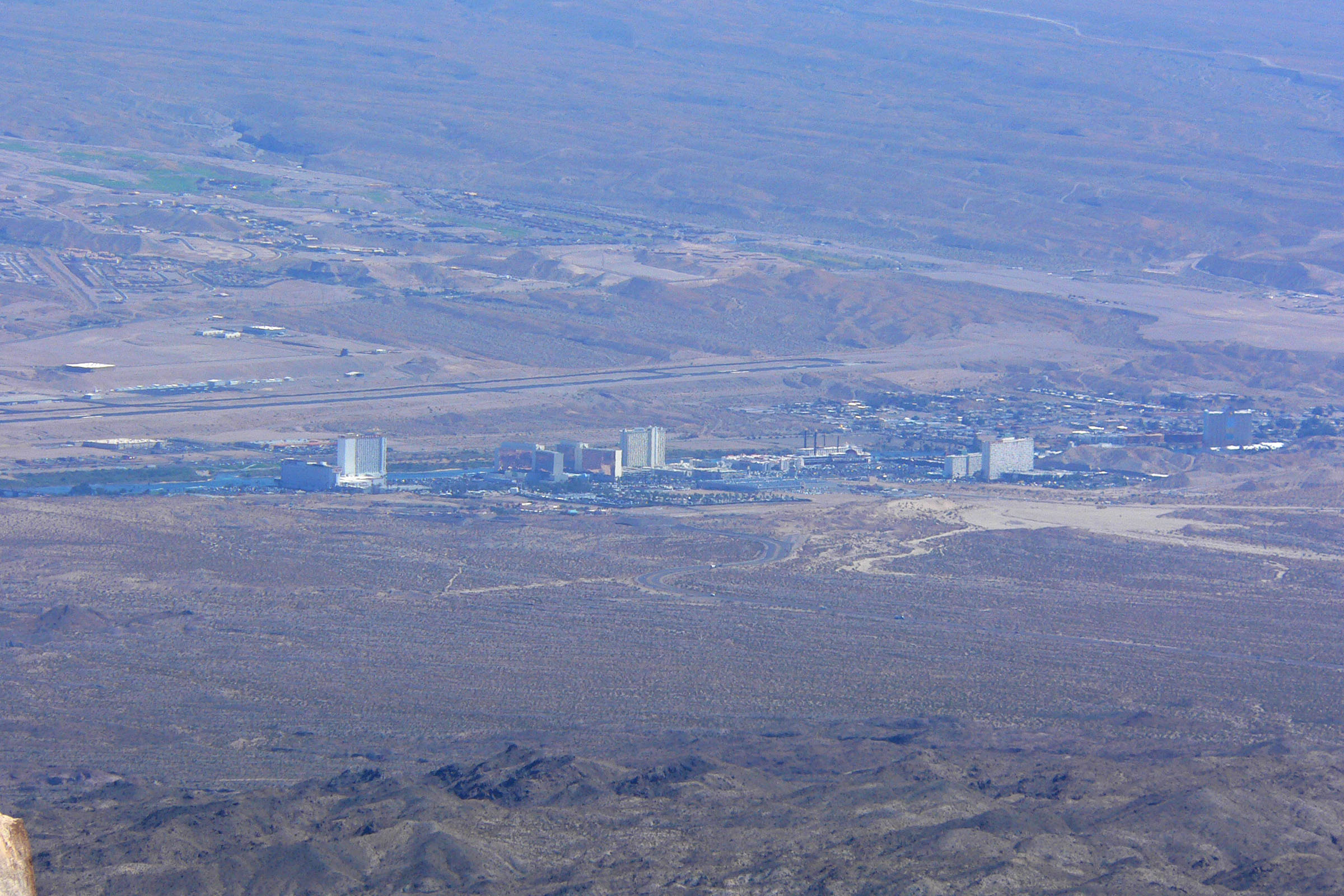
→State Route 163 (SR 163), often referred to as the Laughlin Highway, is a state highway in southern Clark County, Nevada. The route connects the town of Laughlin to the rest of the state via U.S. Route 95 (US 95).
SR 163 and Arizona State Route 95 provide the next closest public Colorado River crossing to Hoover Dam. Due to the restriction of commercial vehicles over the dam since the September 11th attacks, SR 163 comprised part of the required detour for truck traffic traveling between the Las Vegas and Phoenix metropolitan areas until October 2010, when the Mike O'Callaghan – Pat Tillman Memorial Bridge just downstream from the dam was opened to traffic.
Prior to the renumbering of Nevada state routes in the late 1970s, SR 163 previously comprised the northern part of State Route 76 and all of State Route 77.
Contents
Route description
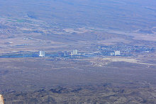
State Route 163 begins as a four-lane divided highway at its junction with US 95 just north of the California state line. From there, the highway negotiates some fairly steep mountain grades as it heads loses elevation heading east toward Laughlin. Just outside of Laughlin, the divided highway comes together and intersects Casino Drive before crossing the Colorado River and entering Bullhead City, Arizona on Arizona State Route 95.
History
State Route 77 first appear on Nevada state maps in 1942 as an unimproved road. At that time, SR 77 had an eastern terminus near the Bulls Head Dam (later Davis Dam) site and a western terminus at former State Route 76 (now an unnumbered road), which connected to US 95 north of the current US 95/SR 163 junction.[2] By 1947, the west end of SR 76 was realigned and paved; along with a paved SR 77, this new pavement would eventually form the majority of SR 163.[3] As of 1973, the southern part of SR 76 was removed from the state highway system and SR 77 was extended to US 95 along the paved alignment of the former SR 76.[4]
In 1978, Nevada's highway department began a project to simplify and renumber the state highway system. SR 77 was reassigned to State Route 163 during this process.[5]
Major intersections
The entire route is in Clark County.
Location Mile[6] Destinations Notes 0.00 US 95 – Las Vegas, NeedlesLaughlin 19.26 SR 95 – Bullhead CityBridge over Colorado River; Continuation beyond Arizona state line 1.000 mi = 1.609 km; 1.000 km = 0.621 mi References
- ^ Nevada Department of Transportation. "Nevada State Maintained Highways, Descriptions, Index and Maps, January 2008". http://www.nevadadot.com/reports_pubs/State_Maintained/. Retrieved 2008-06-08.
- ^ Nevada Department of Highways (1942). Official Road Map of the State of Nevada (Map). http://www.nevadadot.com/traveler/maps/historical/. Retrieved 2008-06-08.
- ^ Nevada Department of Highways (1947). Official Road Map of the State of Nevada (Map). http://www.nevadadot.com/traveler/maps/historical/. Retrieved 2008-06-08.
- ^ Nevada Department of Highways (1973). Official Highway Map of Nevada (Map). http://www.nevadadot.com/traveler/maps/historical/. Retrieved 2008-06-08.
- ^ Nevada Department of Highways (1978-79). Official Highway Map of Nevada (Map). http://www.nevadadot.com/traveler/maps/historical/. Retrieved 2008-06-08.
- ^ Nevada Department of Transportation (May 2008). "Maps of Milepost Location on Nevada's Federal and State Highway System by County". http://www.nevadadot.com/traveler/maps/StateMaps/pdfs/MilepostBook2008.pdf. Retrieved 2009-08-04.
Categories:- Piute Valley
- State highways in Nevada
- Transportation in Clark County, Nevada

Wikimedia Foundation. 2010.