- River Trym
Infobox River
river_name = River Trym
image_size =
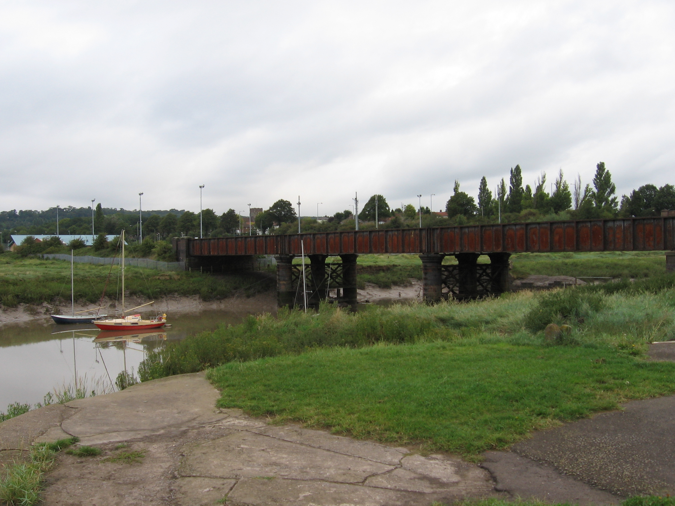
caption = The River Trym close to where it joins the Avon at Sea Mills.
origin =Filton
mouth = River Avon
basin_countries =
length =
elevation =
mouth_elevation =
discharge =
watershed =The River Trym is a small river running through very varied landscapes in
Bristol , a city in the southwest ofEngland . It flows into the River Avon at Sea Mills.Topography
It rises near
Filton , South Gloucestershire, and much of its upper course is culverted. It surfaces in the Bristol suburb of Southmead, then flows open through the historic centre ofWestbury on Trym village/suburb. In wet weather, its tributary the Hazel Brook forms a ford in the traffic artery Henbury Road, and then runs in a limestone gorge through the picturesqueBlaise Castle Estate. The two streams unite aboveCoombe Dingle , and the combined river used to drive mills at Millpill, Sea Mills, on record since the fifteenth century. At the confluence of the Trym with the Avon was the Roman port and small town of Abona, which took its name from the main river (and it simply means 'river' inBritish Celtic ). An attempt was made in 1712 by the entrepreneurJoshua Franklin to open a commercial dock at the mouth of the Trym, on the Roman site, approximately where the above image shows, but the venture foundered after a few decades.Westbury on Trym takes part of its name from the River Trym to distinguish it from
Westbury on Severn , which is also in historic Gloucestershire.Hydrology
The flow of the river has decreased in power in recent years, partly because of surface run-off in the upper catchment of the Hazel Brook, especially from the large retail centre at
Cribbs Causeway , which sends a good deal of silt into the system, slowing the flow and creating a risk of flooding downstream. This problem has now been partially alleviated by the construction of the Catbrain attenuation reservoir near Cribbs Causeway ( [http://www.bristol.gov.uk/ccm/content/Environment-Planning/Pollution/bristol-living-rivers--watercourses.en?page=3 Bristol Living Rivers Project: River Trym and Hazel Brook] ).ources
Mogford, Ernest H. (1954) "The history, survey and description from earliest times of Westbury-on-Trym." [Privately published.]
Smith, A.H. (1964) "The place-names of Gloucestershire." Cambridge: Cambridge University Press, vol. 3.
[http://www.bristol.gov.uk/ccm/content/Environment-Planning/Pollution/bristol-living-rivers--watercourses.en?page=3 Bristol Living Rivers Project - water quality: watercourses: River Trym and Hazel Brook]
Wikimedia Foundation. 2010.