- Deadhorse, Alaska
-
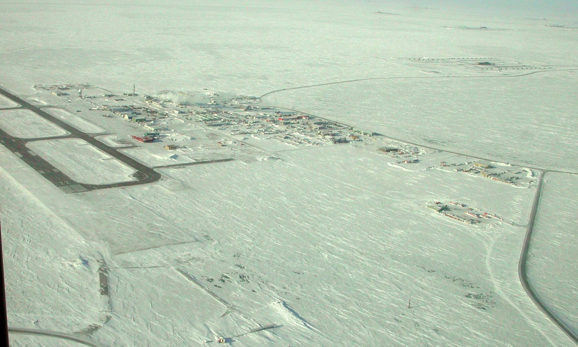
Deadhorse — unincorporated community — Aerial view of Deadhorse, March 2007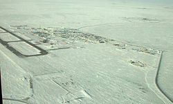
 Deadhorse
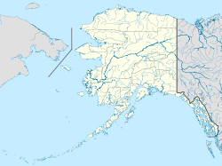
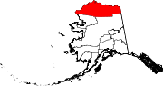
Coordinates: 70°12′7.3944″N 148°27′23.922″W / 70.202054°N 148.456645°WCoordinates: 70°12′7.3944″N 148°27′23.922″W / 70.202054°N 148.456645°W Country United States State Alaska Borough North Slope Deadhorse is an unincorporated community in North Slope Borough, Alaska, United States, along the North Slope near the Arctic Ocean. The town consists mainly of facilities for the workers and companies that operate at the nearby Prudhoe Bay oil fields. Deadhorse is accessible via the Dalton Highway from Fairbanks, or the Deadhorse Airport. Limited accommodations are also available for tourists.
The permanent population is variously listed as being between 25 and 50 residents. Temporary residents (employed by various firms with local interests) can range as high as 3,000.[1][2]
Companies with facilities in Deadhorse service Prudhoe Bay, nearby oil fields, and the Trans-Alaska Pipeline System (TAPS), which brings oil from Prudhoe Bay to Valdez on the south-central Alaska coast. Facilities in Deadhorse are built entirely on man-made gravel pads and usually consist of pre-fabricated modules shipped to Deadhorse via barge or air cargo.
Deadhorse is featured on the third and fourth seasons of Ice Road Truckers, a reality television series airing on the History Channel.[3] The show, which dramatizes trucking on the Dalton Highway, often features truckers transporting equipment to the oil companies located in or around the Prudhoe Bay area.[3] It is also the subject of the second episode of America's Toughest Jobs and is featured in the first episode of the BBC's World's Most Dangerous Roads featuring Charley Boorman and Sue Perkins.
Contents
History
The Prudhoe Bay, Alaska, area was developed to house personnel, provide support for drilling operations, and to transport oil to the Alaskan pipeline.[4] Prior to 1977, oil seeps (small pores or fissure networks through which liquid petroleum emerges at the surface of the land)[5] on the Arctic coastal plain had caught the attention of the U.S. petroleum interests.[4] The U.S. Navy drilled for oil between 1944 and 1953 with little success.[4] However, in 1967, after several attempts at drilling for oil, oil company mergers, and competitive bidding for state lease sales, the Prudhoe Bay oil field was discovered.[4]
Sources conflict on the origin of the area's name.[6] The most cited theory appears to be that the area takes its name from a local business prominent in the late 1960s and 1970s, the "Dead Horse Haulers" trucking company.[6][7] How the trucking company got its name remains in dispute.[6][7]
Tourism and wildlife
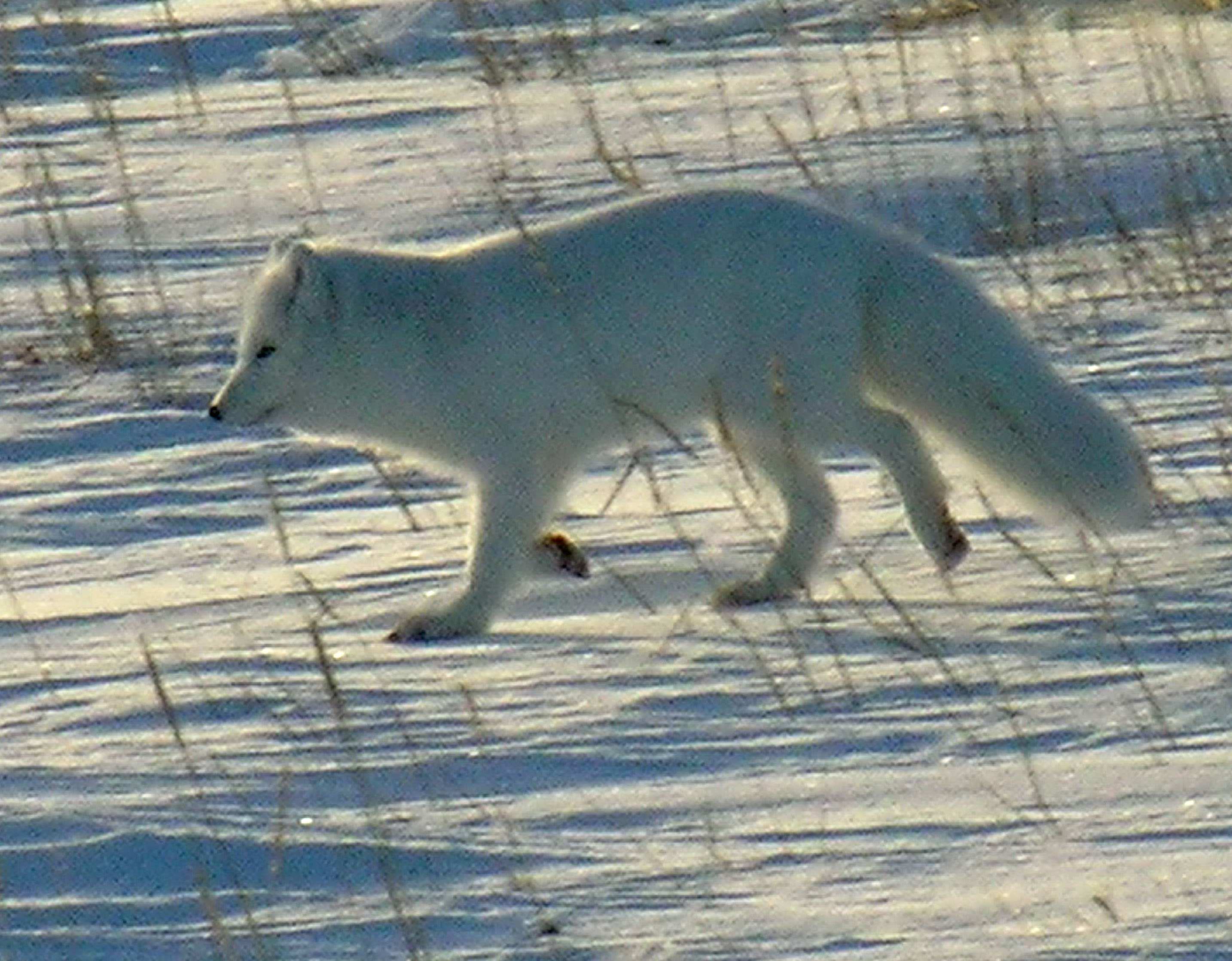
 Arctic foxes are among the wildlife sometimes seen in the Deadhorse area.
Tourists traveling to Deadhorse and Prudhoe Bay typically take tour buses from Fairbanks via the James Dalton Highway, a two-day journey with an overnight stop in Coldfoot. During the summer months, visitors can access the Arctic Ocean during its summer thaw, as well as experience the midnight sun due to Deadhorse's location above the Arctic Circle. In winter, the opposite phenomenon of polar night occurs.
The area often features large herds of caribou and over 200 bird and waterfowl species, including geese, swans, seagulls and eagles.[8] Other indigenous wildlife include arctic fox, arctic ground squirrels, grizzly bears, polar bears, musk oxen, and arctic hares.[8]
Because alcoholic beverages are not sold in Deadhorse, a humorous slogan for the town is "All that far and still no bar."[citation needed]
Weather
- Longest day: 63 days, 23 hours, 40 minutes (12:09 a.m. on May 20 to 11:18 p.m. on July 22)
- Shortest day: 45 min (11:42 a.m. to 12:27 p.m. on November 24)
- Longest night: 54 days, 22 hours, 51 min (12:27 p.m. on November 24 to 11:18 a.m. on January 18)
- Shortest night: 26 min (11:43 p.m. on May 19 to 12:09 a.m. on May 20)
- Highest recorded temperature: 83 °F (28 °C) on 21 June 1991
- Lowest recorded temperature: −62 °F (−52 °C) on 27 January 1989
- Highest wind speed recorded: 95 knots (109 mph, 176 km/h) on 25 February 1989
- Official lowest wind chill: −102 °F (−74 °C) on 28 January 1989 (air temperature of −54 °F (−48 °C) and wind speed of 31 knots (36 mph, 57 km/h)
Climate data for Deadhorse, Alaska Month Jan Feb Mar Apr May Jun Jul Aug Sep Oct Nov Dec Year Record high °F (°C) 35
(2)39
(4)34
(1)43
(6)55
(13)83
(28)82
(28)80
(27)67
(19)45
(7)39
(4)34
(1)83
(28)Average high °F (°C) −11
(−24)−13
(−25)−7
(−22)7
(−14)27
(−3)44
(7)54
(12)51
(11)38
(3)21
(−6)2
(−17)−7
(−22)17.2
(−8.2)Average low °F (°C) −23
(−31)−26
(−32)−22
(−30)−8
(−22)16
(−9)31
(−1)37
(3)36
(2)28
(−2)10
(−12)−10
(−23)−19
(−28)4.2
(−15.5)Record low °F (°C) −62
(−52)−57
(−49)−54
(−48)−47
(−44)−19
(−28)18
(−8)28
(−2)23
(−5)1
(−17)−30
(−34)−45
(−43)−47
(−44)−62
(−52)Precipitation inches (mm) 0.15
(3.8)0.13
(3.3)0.14
(3.6)0.10
(2.5)0.08
(2)0.37
(9.4)0.72
(18.3)0.95
(24.1)0.65
(16.5)0.40
(10.2)0.14
(3.6)0.19
(4.8)4.02
(102.1)Source: weather.com [9] Image gallery
-
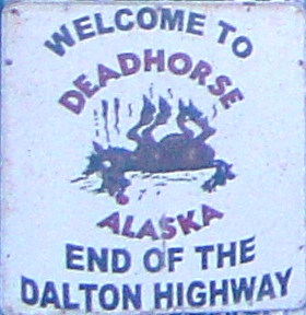
Sign at General Store, Deadhorse, Alaska (January 2008).
-
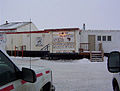
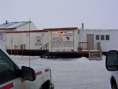
Deadhorse General Store.
-
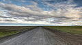
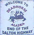
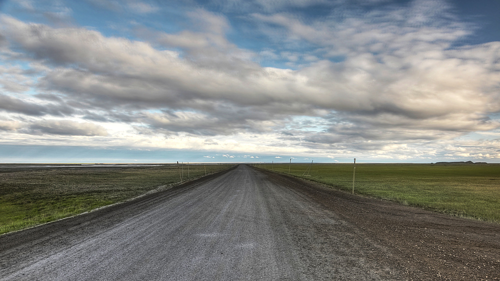
The Dalton Highway at Deadhorse (July 2010).
References
- ^ http://wikitravel.org/en/Deadhorse
- ^ http://www.dailymail.co.uk/femail/article-400276/Deadhorse-Alaska--town-end-earth-making-global-oil-markets-tremble.html Deadhorse, Alaska - the town at the end of the earth making global oil markets tremble
- ^ a b http://www.history.com/content/iceroadtruckers-season-three
- ^ a b c d http://www.myalaskan.com/alaska-towns/prudhoebay.html
- ^ http://encyclopedia2.thefreedictionary.com/oil+seep
- ^ a b c http://www.colvilleinc.com/docs/DeadhorseName.pdf
- ^ a b http://uaf-db.uaf.edu/Jukebox/haul_road_07/assets/docs/bc_deadhorse.pdf
- ^ a b http://www.prudhoebay.com/communities_Deadhorse.htm Deadhorse, Alaska website
- ^ "Average weather for Deadhorse". weather.com. http://www.weather.com/weather/wxclimatology/monthly/graph/USAK0064?from=36hr_bottomnav_undeclared. Retrieved Jan 20 2009.
External links
Municipalities and communities of North Slope Borough, Alaska Borough seat: Barrow Cities Anaktuvuk Pass | Atqasuk | Barrow | Kaktovik | Nuiqsut | Point Hope | Wainwright
CDPs Unincorporated
communitiesCategories:- Populated places in North Slope Borough, Alaska
- Unincorporated communities in Alaska
- Populated places of the Arctic United States


Wikimedia Foundation. 2010.