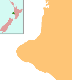
Matapu

Matapu
Matapu
Matapu is located in Taranaki Region
Matapu
Coordinates: 39°28′47″S 174°13′38″E / 39.47972°S 174.22722°E / -39.47972; 174.22722Coordinates: 39°28′47″S 174°13′38″E / 39.47972°S 174.22722°E / -39.47972; 174.22722
Country New Zealand
Region Taranaki
District South Taranaki District

Matapu is a locality in southern Taranaki Region of New Zealand. Hawera is to the south-east, Eltham to the north-east, Kaponga to the north-west and Manaia to the south-west.[1][2]

Education

Matapu School is a coeducational full primary (years 1-8) school with a decile rating of 7 and a roll of 75.[3] In 2005, Okaiawa and Mangatoki Schools closed and merged with Matapu School.[4]

Notes

  1. ^ Peter Dowling (editor) (2004). Reed New Zealand Atlas. Reed Books. pp. map 34. ISBN 0-7900-0952-8 
  2. ^ Roger Smith, GeographX (2005). The Geographic Atlas of New Zealand. Robbie Burton. pp. map 97. ISBN 1-877333-20-4 
  3. ^ "Te Kete Ipurangi - Matapu School". Ministry of Education. http://www.tki.org.nz/e/schools/display_school_info.php?school_id=2098. 
  4. ^ "Mergers, Closures and New Schools, January 2005 - December 2005" (XLS). Education Counts. http://www.educationcounts.govt.nz/statistics/schooling/directories/?a=7772. 

External links


Wikimedia Foundation. 2010.

Игры ⚽ Поможем написать курсовую

Look at other dictionaries:

  • List of towns in New Zealand — This is a list of towns in New Zealand. The term town has no current statutory meaning in New Zealand, the few Town Districts having been abolished in 1989 or earlier. No particular size minimum has been adopted. Many would be called villages in… …   Wikipedia

  • Kapuni — is a small hydrocarbons field and drilling site in the North Island of New Zealand. It is located within a dairy farming area in Taranaki, 85 km (53 miles) southeast of New Plymouth.It is the second largest onshore gas/condensate field in New… …   Wikipedia

  • Prehistoric Tongan economy — The Tongan economy was based upon the resources of the land and sea that abound in the tropical and sub tropical parts of the Pacific ocean and were used by the Tonga. The sea yielded fish for food, shell for implements and ornamentations, and… …   Wikipedia

  • Auroa — Infobox Settlement name = Auroa subdivision type = Country subdivision name = New Zealand subdivision type1= Region subdivision name1= Taranaki subdivision type2= District subdivision name2= South Taranaki District pushpin pushpin label position …   Wikipedia

  • Mangatoki — Mangatoki …   Wikipedia

Share the article and excerpts

Direct link
Do a right-click on the link above
and select “Copy Link”