- Övre Rudasjön
-
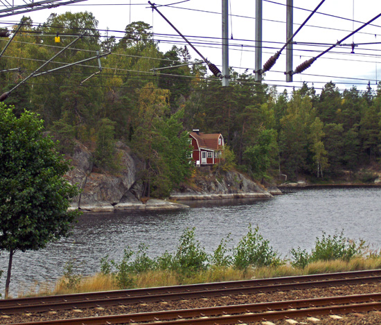
Övre Rudasjön 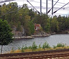
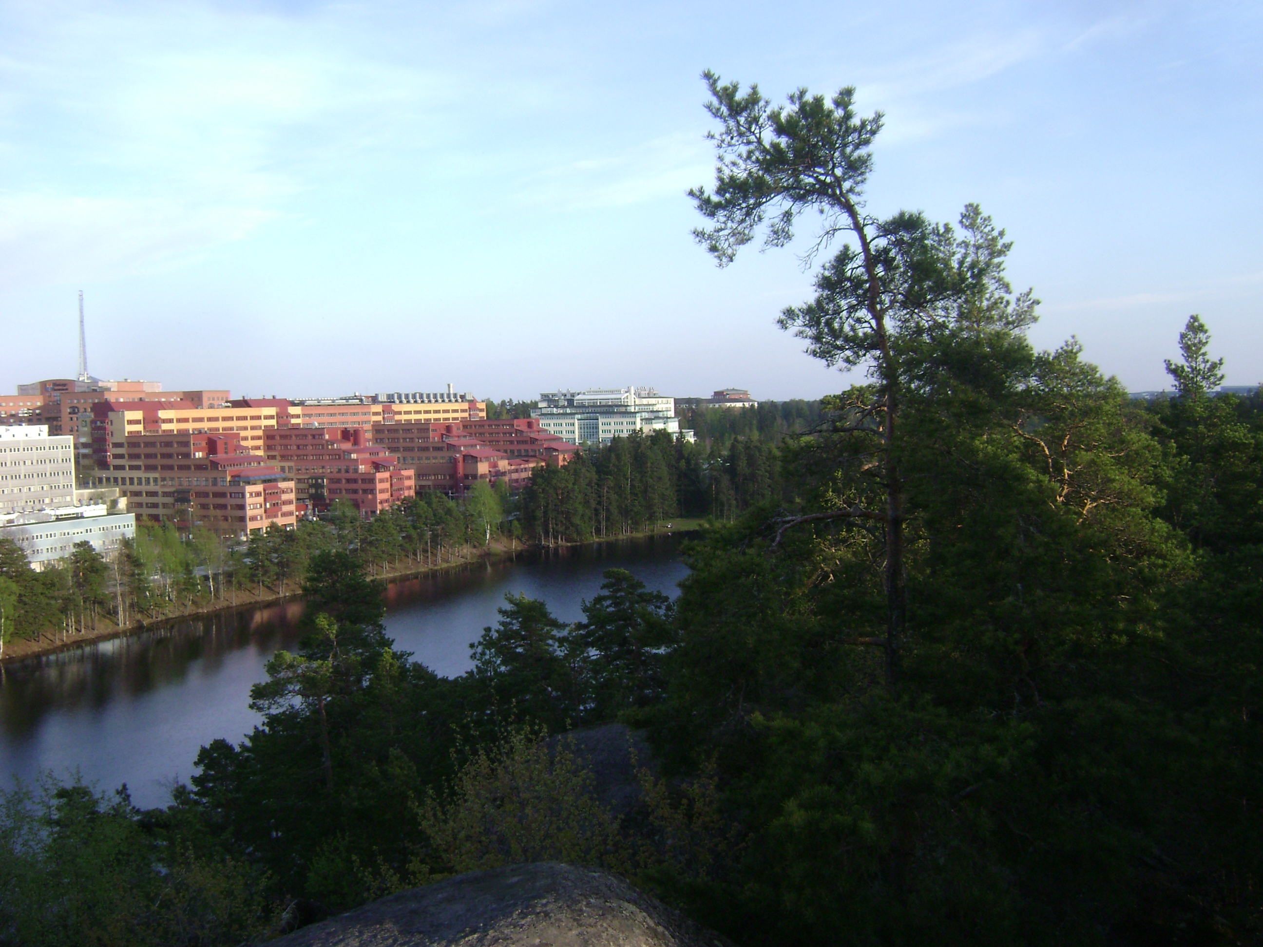
as seen from the commuter railway station Location Haninge Municipality, south Stockholm County Coordinates 59°10′8.94″N 18°08′2.30″E / 59.16915°N 18.133972°ECoordinates: 59°10′8.94″N 18°08′2.30″E / 59.16915°N 18.133972°E Primary inflows Trylen, Nedre Rudasjön Primary outflows Dammträsk, Drevviken Basin countries Sweden Surface area 0.113 km² Average depth 3.4 m[1] Max. depth 8.1 m[1] Water volume 0.386 km²[1] Surface elevation 34.5 m[2] Islands 0 Settlements Haninge, Handen References [1][2][3] Övre Rudasjön (Swedish for "Upper Crucian carp Lake"), or Övre Rudan for short, is a lake in Haninge Municipality, 18 km (11 mi) south of central Stockholm, Sweden. Forming part of the Tyresån Lake System, its major inflow comes from lakes Nedre Rudasjön ("Lower Crucian carp Lake") and Trylen to the south, while its outflow passes over Dammträsk into Drevviken to the north.
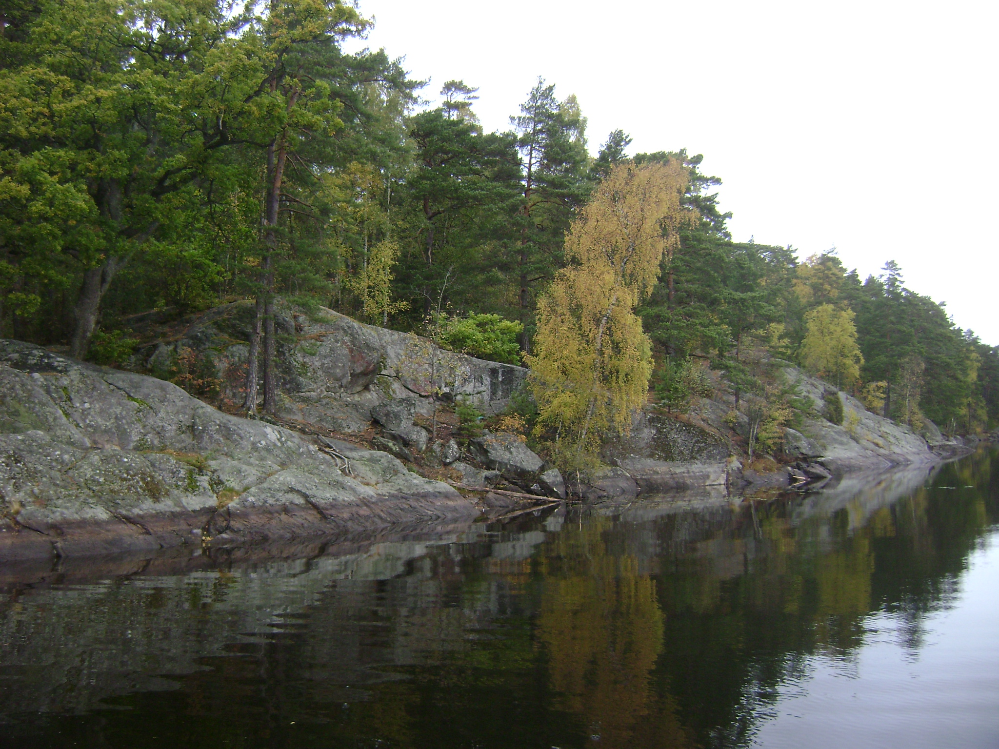
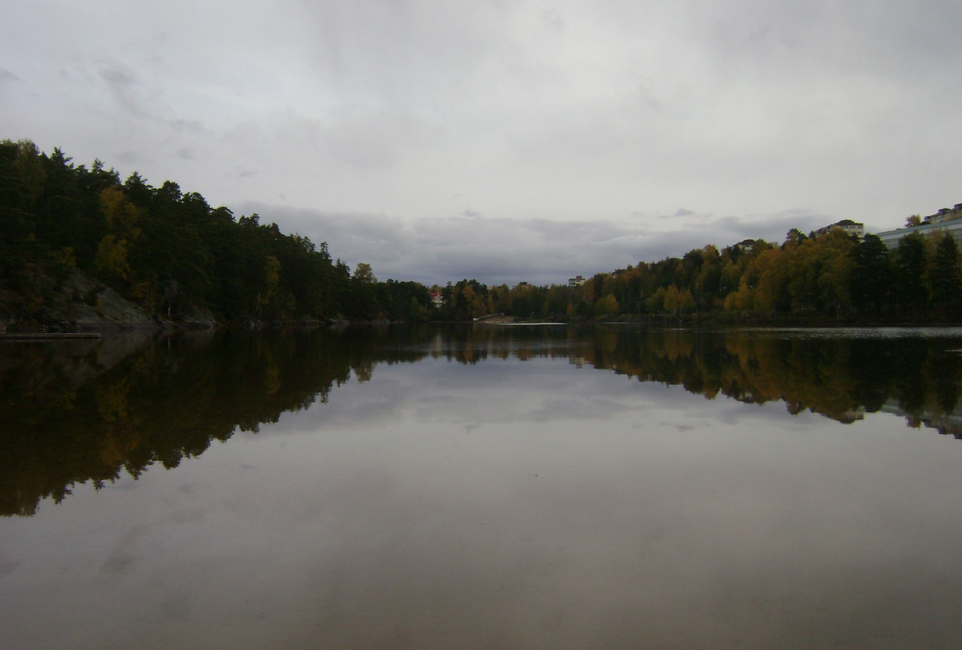
The tall buildings of Handen commercial centre along the eastern shore of the lake contrast the dense forest of the Rudan Open-air Area on the opposite shore. The proximity to the commuter train station at Handen, makes the lake easily accessible to a large number of people, while the forests surrounding it makes it attractive to open-air lovers. It is used for bathing in summers and cross-country skiing in winters.[4]
Compared to other lakes in the Tyresån Lake System, levels of phosphorus in the lake are moderate.[5]
Nutrition levels[6] PTOT NTOT N/P-quota Chlor Sight depth Colour TOC pH Alk 17 ug/l 456 ug/l 27 6 a ug/l 3,8 m (max) 34 mg/l 8 mg/l 7,2 0,28 mekv/l With are 28 species of vascular plants by the lake and 1 species of Stoneworth in it, the lake fauna is considered relatively rich in species.[2]
Gallery
Notes
References
- "Övre Rudasjön" (in Swedish). Vattenmyndigheterna. 2006-12-31. http://www.viss.lst.se/Waters.aspx?waterEUID=SE656380-163314. Retrieved 2009-01-17.
- "Vattenväxter i sjöarna på Södertörn och i angränsande områden samt uppbyggnad av en sjödatabas" (in Swedish). Södertörnsekologerna. 2001. http://www.sodertornsekologerna.org/vattenvaxt0330_20031210_text_tab7_tab8.pdf. Retrieved 2009-01-17.
- "Bilaga 5: Klassning av sjöarnas fosforhalt" (in Swedish). Tyresåsamarbetet. 1999. http://www.tyresan.se/pdf/status.pdf. Retrieved 2009-01-17.
- "Övre Rudan" (in Swedish). Tyresåsamarbetet. http://www.tyresan.se/om_tyresans_sjoar/rudan_o/rudan_o.htm. Retrieved 2009-01-17.[dead link]
- "Sjödjup och sjövolym" (in Swedish). SMHI. 1999-10-29. http://www.smhi.se/content/1/c6/03/14/53/attatchments/sjodjup_och_sjovolym.pdf. Retrieved 2009-01-17.[dead link]
- "Aktuellt näringstillstånd - Sjöar" (in Swedish). Stockholm County Council. 2005-09-10. pp. 4. http://www.ab.lst.se/upload/dokument/miljo_och_halsa/miljoinformation/Sjoar%20och%20vattendrag/Tillstand%20PN%20sjoar.pdf. Retrieved 2009-01-17.
Categories:- Lakes of Sweden
- Geography of Stockholm
- Stockholm County geography stubs
-
Wikimedia Foundation. 2010.