- Glengowrie, South Australia
Infobox Australian Place | type = suburb
name = Glengowrie
city = Adelaide
state = South Australia
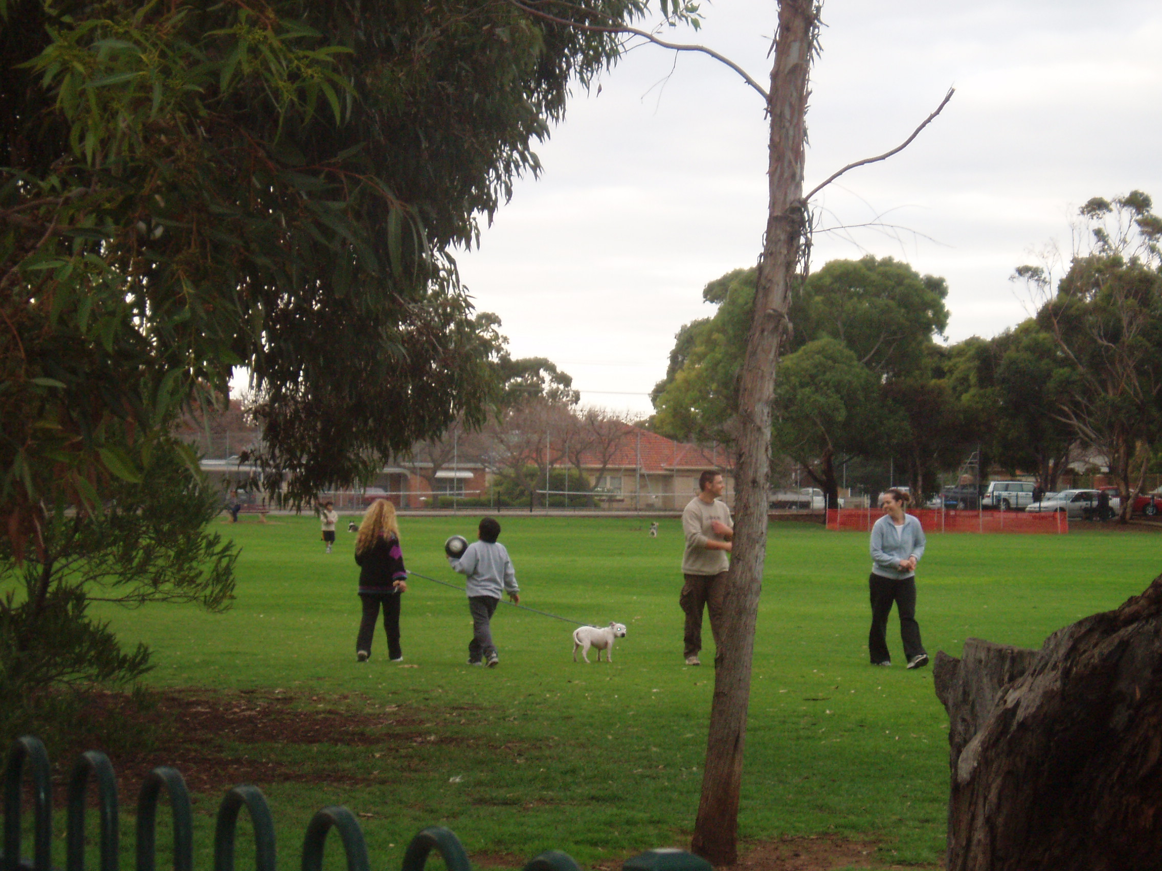
caption = Hazelmere Reserve on the south-eastern boundary of Glengowrie
lga = City of Marion
postcode = 5044
est =
pop = 4,720 (2006 Census) [Census 2006 AUS|id=SSC41636|name=Glengowrie (State Suburb)|quick=on|accessdate=2008-02-28]
area = 1.9
propval = [http://www.domain.com.au/public/SuburbProfile.aspx?mode=buy&suburb=Bedford%20Park&postcode=5042 $350,500] (2007)
stategov = Morphett
fedgov = Hindmarsh
near-nw = Glenelg East
near-n = Glenelg East
near-ne = Camden Park
near-w = Glenelg East
near-e = Morphettville
near-sw = Somerton Park
near-s = Warradale
near-se = Oaklands Park
dist1 =
location1=Glengowrie (pronEng|glɛnˈgaʊri) is a suburb of the
Australia n city ofAdelaide , approximately 12 kilometres south west of the city-centre. The name Glengowrie means "Glen of Gowrie", so called in honour of Lord Gowrie (formally, Alexander Gore Arkwright Hore-Ruthven),Governor-General of Australia from 1936-1944.Location
Located in the
City of Marion , Glengowrie is bounded by the Glenelg tramline to the north, Morphett Road to the east, Oaklands road to the south and parts of Diagonal Road to the west. The western tip of Glengowrie is approximately 2 kilometres from the beaches of Glenelg, one of Adelaide's best known beachside precincts.Its
postcode is 5044.The suburb occupies an area of 1.9 sq.km.
Demography
The suburb's population at the 2006 Census was approximately 4,720, of which slightly more than half (52.7%) were female. Around 15.9% of the suburb's residents were born overseas, with the five largest groups originating from
England (6.6%),Scotland (1.1%),New Zealand (0.7%),Ireland (0.6%), and theNetherlands (0.5%). The most common languages other than English spoken at home were Greek (0.8%), Italian (0.6%), Serbian (0.3%), German (0.3%) and Japanese (0.3%).There were 2,104 occupied private dwellings in the suburb, including: 1,352 detached, 468 semi-detached, 281 flats or apartments, and 3 'other'. Approximately 40.1% of occupied private dwellings were fully owned, 31.6% were being purchased and 19.2% were rented. The median weekly household income was $919, compared with $924 in Adelaide overall.
Governance
Glengowrie falls under the local-level governance of the
City of Marion . It lies in the state electoral district of Morphett and the federal electoral division of Hindmarsh.Amenities
*The Hazelmere Reserve is a public park on the southern edge of Glengowrie. It features the popular fenced off area known as "Dog Park" which is typically filled with dogs and their owners late in the afternoon and on weekends. The reserve is located on the site of the oval of the former Glengowrie High School.
*The Glengowrie Tram Depot houses the trams (launched in 1927) which service Adelaide's only remaining tramline from Adelaide to Glenelg.
*The Sturt River Linear Park which follows the Sturt River through the south-western metropolitan area from Marion to Glenelg runs through the north-eastern tip of Glengowrie.
*Glengowrie High School first opened in 1969 [ [http://www.dete.sa.gov.au/mediacentre/files/links/XTRA_7_no_18.pdf aaXtra 7 no 2 ] ] and was demolished in the early 1990s. [ [http://www.parliament.sa.gov.au/NR/rdonlyres/B5E4C2DB-6ED8-4313-8D61-0022C0267E08/3917/18_wednesday_04_apr_1990.htm 18_WEDNESDAY_04_APR_1990 ] ] the site being used for the construction of Glengowrie Retirement Estate.ee also
*
List of Adelaide suburbs References
External links
Wikimedia Foundation. 2010.