- National Register of Historic Places listings in Washington County, Maryland
-
 Location of Washington County in Maryland
This is a list of the National Register of Historic Places listings in Washington County, Maryland.
This is intended to be a complete list of the properties and districts on the National Register of Historic Places in Washington County, Maryland, United States. Latitude and longitude coordinates are provided for many National Register properties and districts; these locations may be seen together in a Google map.[1]
There are 98 properties and districts listed on the National Register in the county, including 2 National Historic Landmarks.
Contents: Counties in Maryland Allegany - Anne Arundel - Baltimore (city) - Baltimore County - Calvert - Caroline - Carroll - Cecil - Charles - Dorchester - Frederick - Garrett - Harford - Howard - Kent - Montgomery - Prince George's - Queen Anne's - Somerset - St. Mary's - Talbot - Washington - Wicomico - Worcester -
- This National Park Service list is complete through NPS recent listings posted November 10, 2011.[2]
Current listings
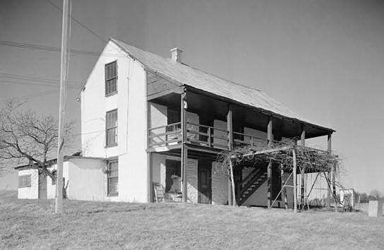
[3] Landmark name [4] Image Date listed Location City or town Summary 1 Antietam Furnace Complex Archeological Site 
August 25, 1983 Address Restricted Hagerstown 2 Antietam Hall September 24, 1979 525 Indian Lane
39°38′12″N 77°40′55″W / 39.636667°N 77.681944°WHagerstown 3 Antietam Iron Furnace Site and Antietam Village June 26, 1975 Confluence of Antietam Creek and the Potomac River
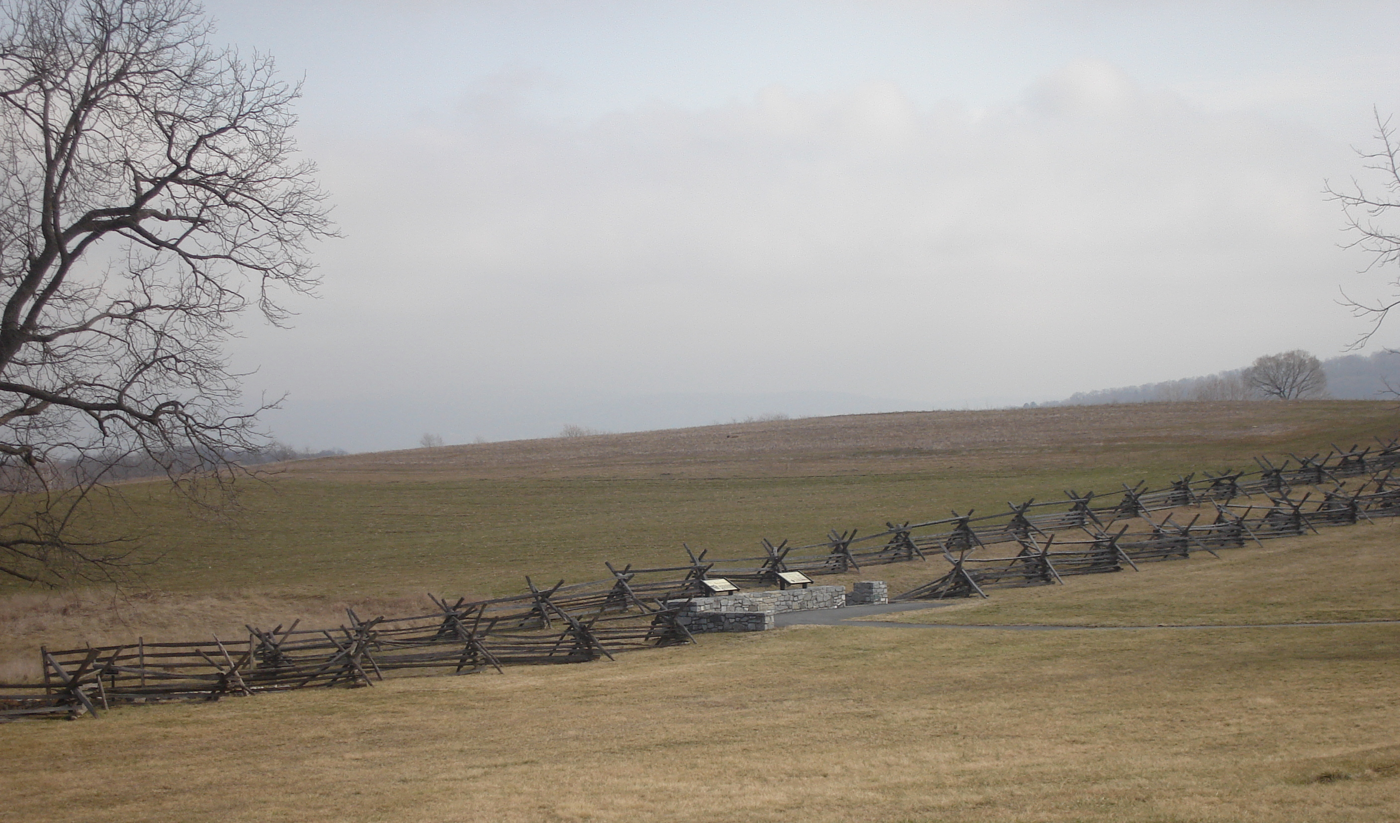
39°25′01″N 77°44′33″W / 39.416944°N 77.7425°WAntietam 4 Antietam National Battlefield 
October 15, 1966 North of Sharpsburg off Maryland Route 45
39°27′4″N 77°41′9″W / 39.45111°N 77.68583°WSharpsburg Civil War battlefield site. 5 B&O Bridge 
November 23, 1977 Northwest of Keedysville over Antietam Creek
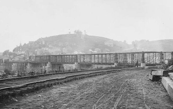
39°30′15″N 77°42′49″W / 39.504167°N 77.713611°WKeedysville 6 B & O Railroad Potomac River Crossing 
February 14, 1978 At the confluence of the Shenandoah and Potomac rivers
39°19′27″N 77°43′43″W / 39.324167°N 77.728611°WHarpers Ferry 7 Baker Farm October 19, 1978 North of Keedysville off Maryland Route 34
39°29′53″N 77°41′42″W / 39.498056°N 77.695°WKeedysville 8 Bell-Varner House September 24, 1979 Southeast of Leitersburg on Unger Rd.
39°40′04″N 77°36′26″W / 39.667778°N 77.607222°WLeitersburg 9 Boonsboro Historic District December 23, 2005 Main St., Potomac St., St. Paul St., High St., Lakin Ave., Center St., Park Dr., Park Ln, Park View, and Young Ave.
39°30′22″N 77°39′09″W / 39.506111°N 77.6525°WBoonsboro 10 Bowman House 
April 29, 1977 323 N. Main St.
39°30′41″N 77°39′18″W / 39.511389°N 77.655°WBoonsboro 11 Brightwood July 30, 1974 North of Hagerstown off Maryland Route 60, 2 miles north of Paramont
39°41′56″N 77°40′43″W / 39.698889°N 77.678611°WHagerstown 12 Cedar Grove August 27, 1999 15435 Dellinger Rd.
39°32′07″N 77°50′07″W / 39.535278°N 77.835278°WWilliamsport 13 William Chapline House 
October 8, 1976 109 W. Main St.
39°27′29″N 77°44′59″W / 39.458056°N 77.749722°WSharpsburg 14 Chesapeake and Ohio Canal National Historical Park 
October 15, 1966 Bordering the Potomac River from Georgetown, Washington, D.C. to Cumberland, Maryland Antietam, Cedar Grove, Hancock, and Sharpsburg 15 Robert Clagett Farm June 5, 1999 Garrett's Mill Rd.
39°21′03″N 77°41′06″W / 39.350833°N 77.685°WKnoxville 16 Colonial Theatre August 2, 1978 12-14 S. Potomac St.
39°38′28″N 77°43′13″W / 39.641111°N 77.720278°WHagerstown 17 Ditto Knolls July 12, 1976 East of Hagerstown on Landis Rd.
39°36′23″N 77°39′43″W / 39.606389°N 77.661944°WHagerstown 18 Daniel Donnelly House December 24, 2003 14906 Falling Waters Rd.
39°33′23″N 77°51′15″W / 39.556389°N 77.854167°WWilliamsport 19 Dorsey-Palmer House April 15, 1978 North of Hagerstown on Maryland Route 60
39°40′41″N 77°41′02″W / 39.678056°N 77.683889°WHagerstown 20 Doub Farm November 15, 1978 North of Keedysville
39°29′37″N 77°41′51″W / 39.493611°N 77.6975°WKeedysville 21 Doub's Mill Historic District 
October 1, 1979 Southwest of Beaver Creek on Beaver Creek Rd.
39°34′43″N 77°39′18″W / 39.578611°N 77.655°WBeaver Creek 22 Elliot-Bester House May 2, 1975 205-207 S. Potomac St.
39°38′19″N 77°43′22″W / 39.638611°N 77.722778°WHagerstown 23 Joseph Fiery House December 27, 2002 15107 Hicksville Rd.
39°42′06″N 77°50′49″W / 39.701667°N 77.846944°WClear Spring 24 Fort Frederick 
November 7, 1973 Southeast of Big Pool near the junction of Maryland Routes of 44 and 56
39°36′33″N 78°01′17″W / 39.609167°N 78.021389°WBig Pool 25 Jacob M. Funk Farm October 14, 2010 21116 Black Rock Road
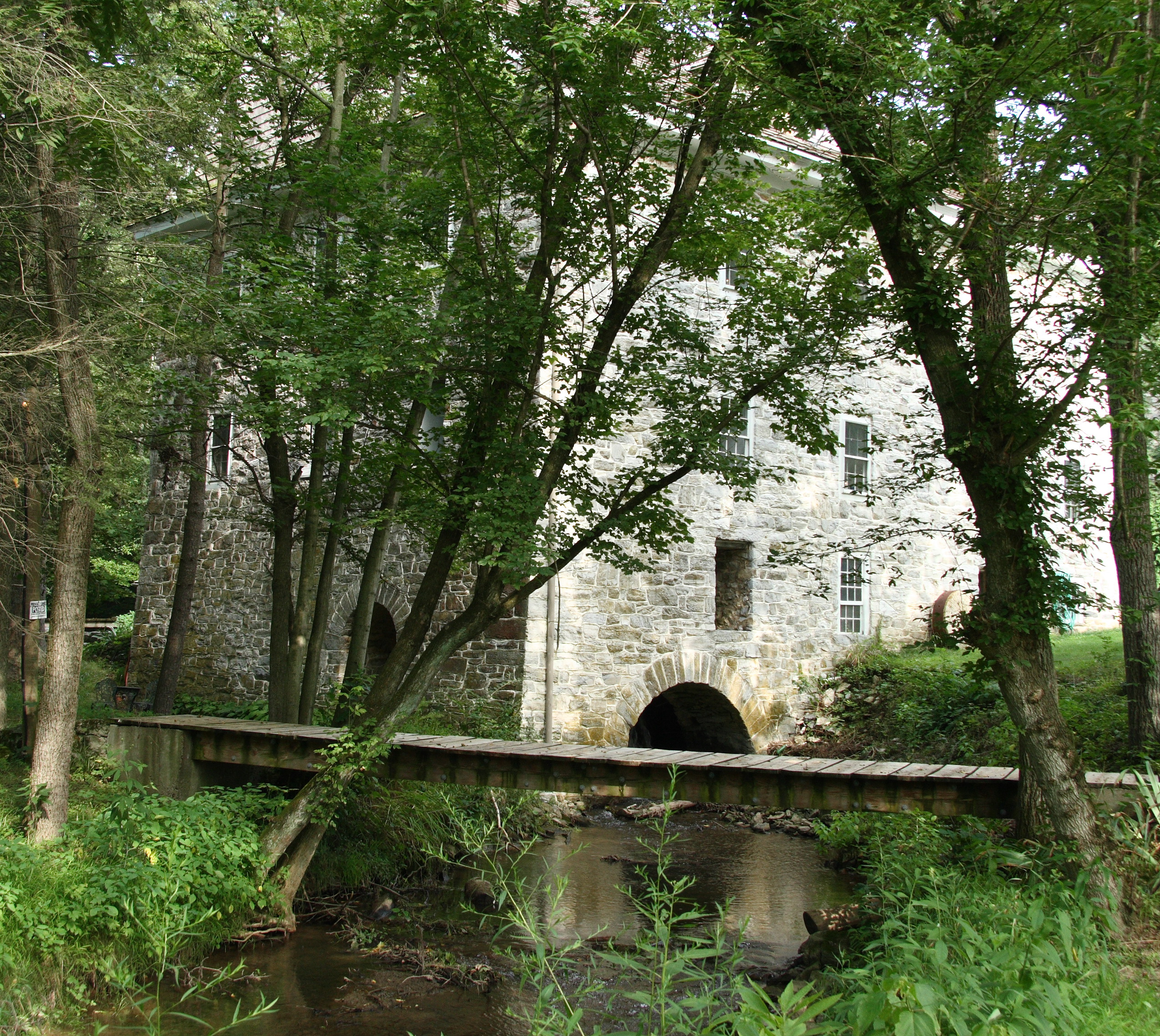
39°34′49″N 77°37′58″W / 39.580278°N 77.632778°WHagerstown vicinity 26 Funkstown Historic District 
September 8, 2000 Roughly bounded by Antietam Creek, U.S. Route 40A, Stouffer Ave., and High St.
39°36′30″N 77°42′36″W / 39.608333°N 77.71°WFunkstown 27 Garden Hill December 27, 2002 1251 Frederick St.
39°36′49″N 77°42′45″W / 39.613611°N 77.7125°WHagerstown 28 Geeting Farm November 25, 1977 South of Keedysville at Geeting and Dog Rds.
39°28′40″N 77°41′54″W / 39.477778°N 77.698333°WKeedysville 29 Good-Hartle Farm December 9, 1999 13357 Little Antietam Rd.
39°40′52″N 77°37′41″W / 39.681111°N 77.628056°WHagerstown 30 Good-Reilly House December 30, 2002 107 E. Main St.
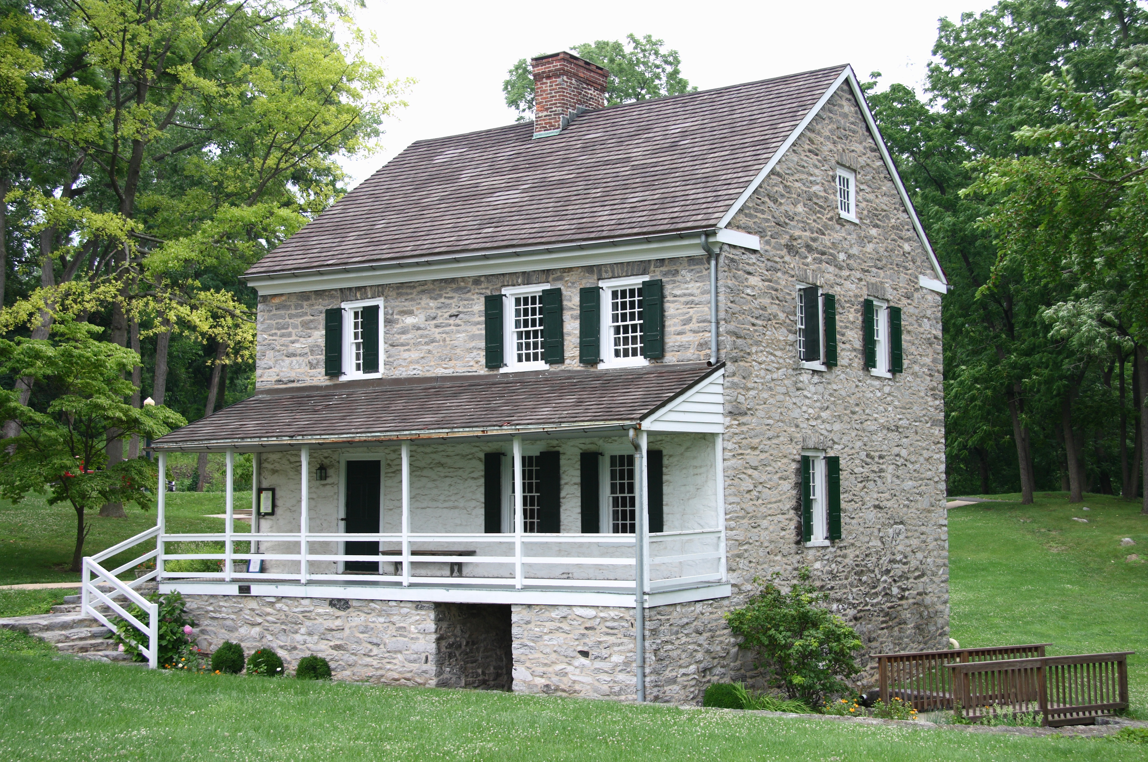
39°27′30″N 77°44′55″W / 39.458333°N 77.748611°WSharpsburg 31 Hager House 
November 5, 1974 19 Key St.
39°38′22″N 77°43′50″W / 39.639444°N 77.730556°WHagerstown 32 William Hagerman Farmstead December 27, 2002 7207 Dam #4 Rd.
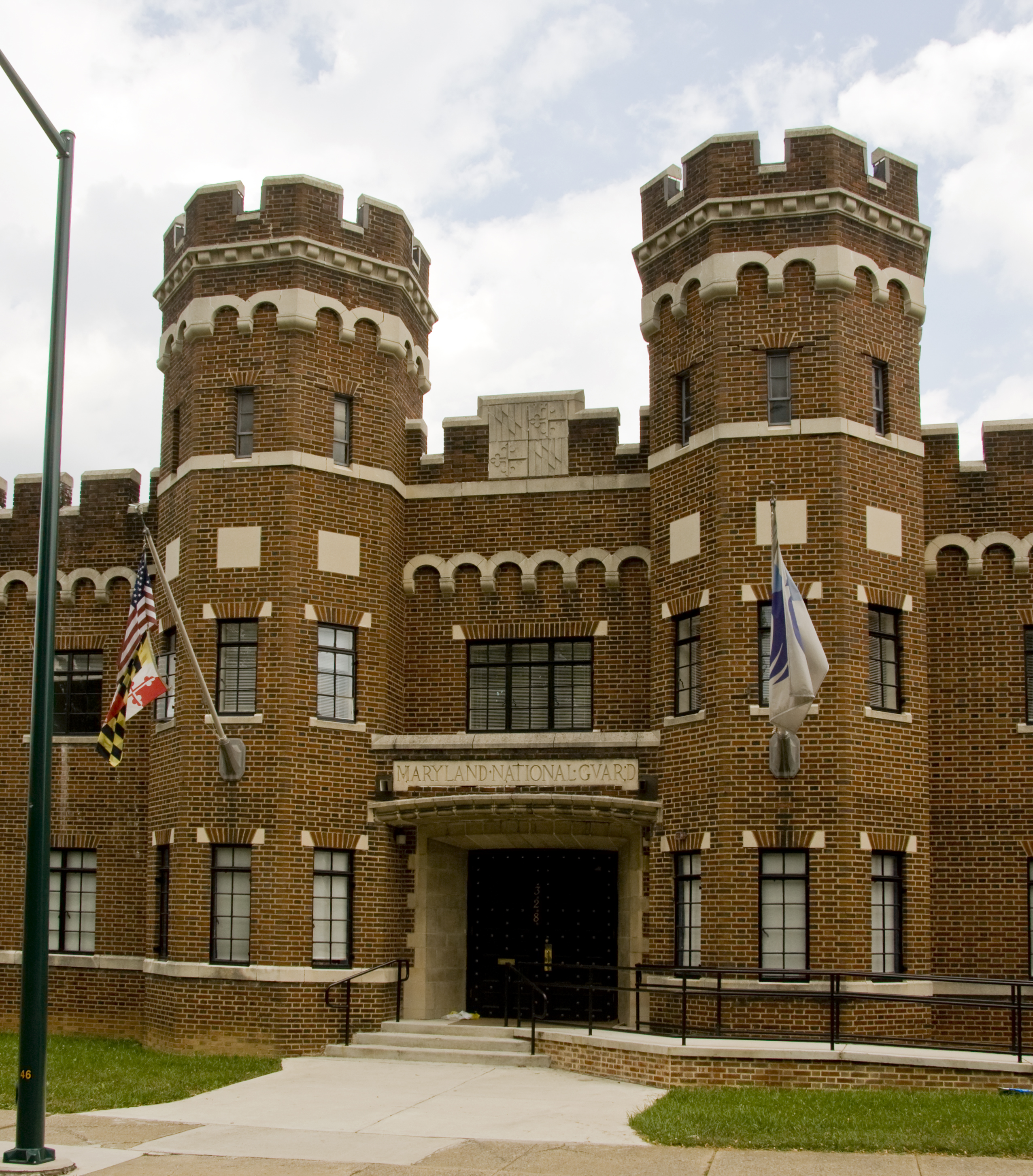
39°30′41″N 77°49′00″W / 39.511389°N 77.816667°WSharpsburg 33 Hagerstown Armory 
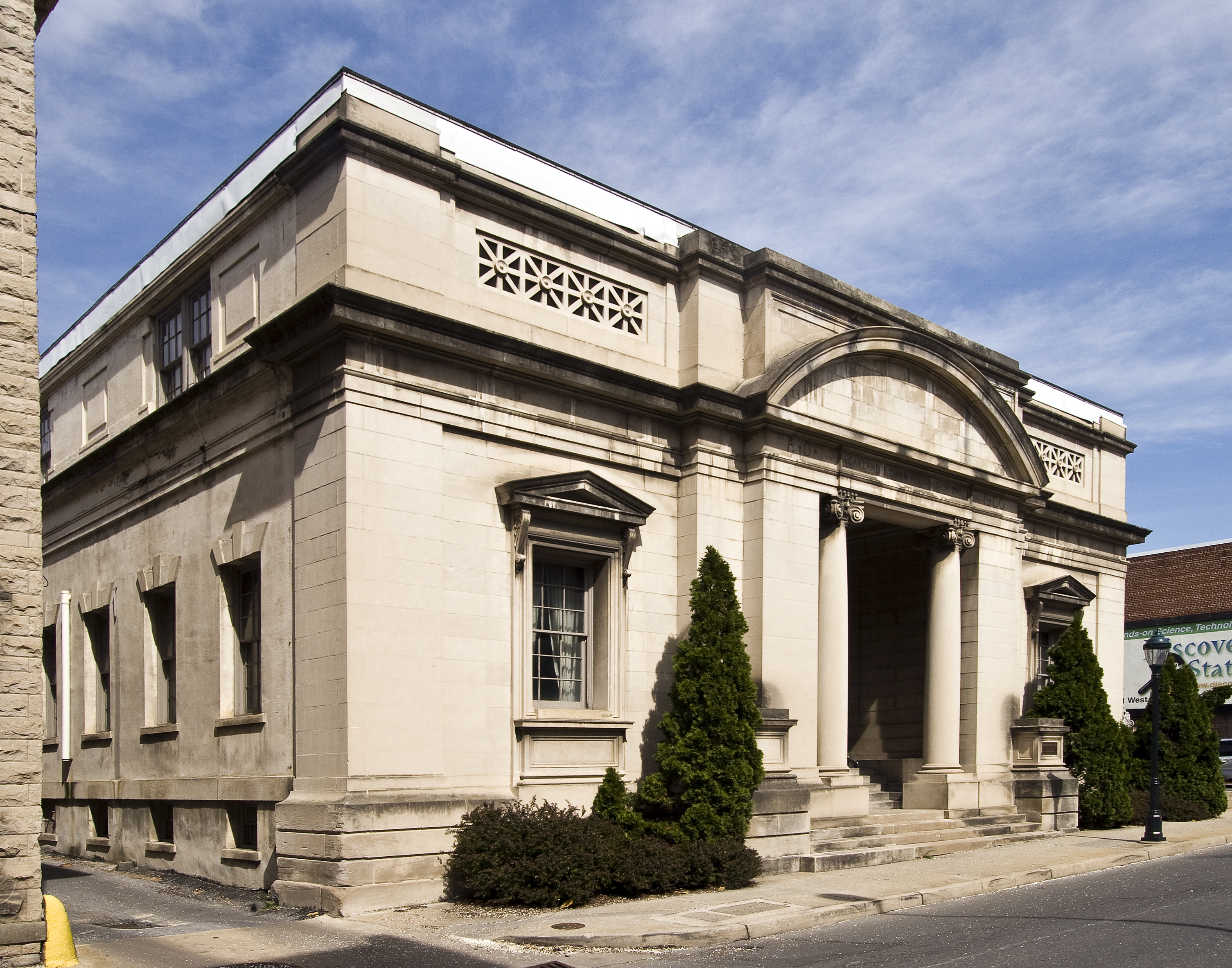
September 25, 1985 328 N. Potomac St.
39°38′47″N 77°43′00″W / 39.646389°N 77.716667°WHagerstown 34 Hagerstown Charity School 
December 16, 1982 102 E. Washington St.
39°38′26″N 77°43′05″W / 39.640556°N 77.718056°WHagerstown 35 Hagerstown City Park Historic District 
July 5, 1990 Roughly bounded by W. Howard St., Guilford Ave., Memorial, S. Walnut St., and the Norfolk & Western railroad line
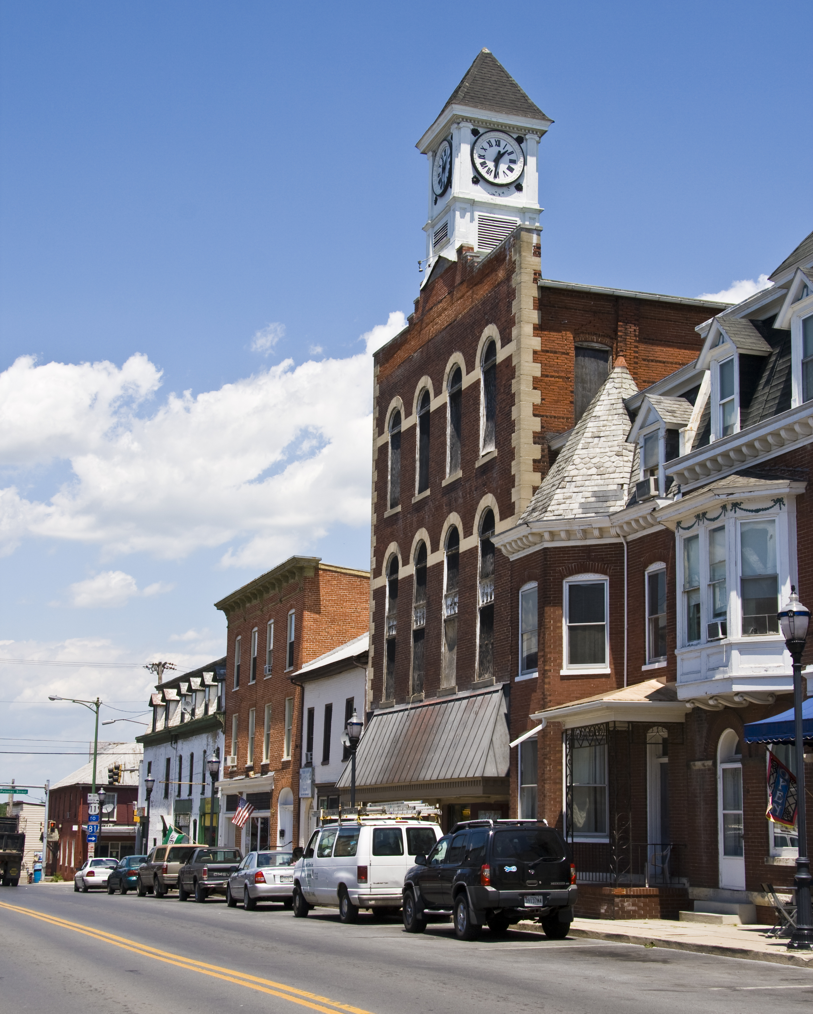
39°38′10″N 77°43′50″W / 39.636111°N 77.730556°WHagerstown 36 Hagerstown Commercial Core Historic District January 17, 1983 Potomac, Washington, Franklin, Antietam, Summit, and Jonathan Sts.
39°38′33″N 77°43′18″W / 39.6425°N 77.721667°WHagerstown 37 Hagerstown Historic District February 2, 1994 Roughly bounded by Prospect and Cannon Aves., Memorial Boulevard, and the CSX railroad line
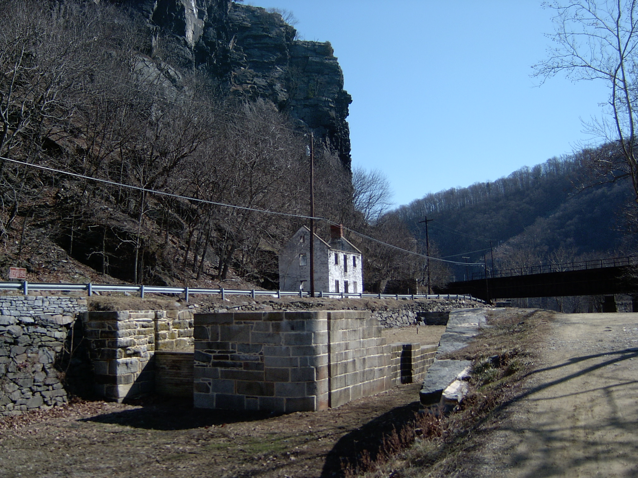
39°38′23″N 77°43′06″W / 39.639722°N 77.718333°WHagerstown 38 Harpers Ferry National Historical Park 
October 15, 1966 At the confluence of the Shenandoah and Potomac rivers
39°18′59″N 77°43′09″W / 39.316389°N 77.719167°WHarpers Ferry 39 Joseph C. Hays House 
December 12, 2006 103-105 W. Main St.
39°27′36″N 77°44′58″W / 39.46°N 77.749444°WSharpsburg 40 Jacob Highbarger House 
December 27, 2002 201 W. Main St.
39°27′26″N 77°45′07″W / 39.457222°N 77.751944°WSharpsburg 41 Hills, Dales and The Vinyard December 1, 2000 16 Dogstreet Rd.
39°29′00″N 77°42′25″W / 39.483333°N 77.706944°WKeedysville 42 Hitt's Mill and Houses April 12, 1979 West of Keedysville off Maryland Route 34
39°29′06″N 77°42′44″W / 39.485°N 77.712222°WKeedysville 43 Hoffman Farm October 10, 1997 18651 Keedysville Rd.
39°29′53″N 77°43′19″W / 39.498056°N 77.721944°WKeedysville 44 Hogmire-Berryman Farm March 28, 1980 North of Spielman off Maryland Route 63
39°32′32″N 77°46′00″W / 39.542222°N 77.766667°WSpielman 45 Houses At 16-22 East Lee Street November 25, 1977 16-22 E. Lee St.
39°38′12″N 77°43′19″W / 39.636667°N 77.721944°WHagerstown 46 Huckleberry Hall December 28, 1990 Charles Mill Rd., west of its junction with Maryland Route 64
39°41′18″N 77°35′27″W / 39.688333°N 77.590833°WLeitersburg 47 Ingram-Schipper Farm September 24, 1979 North of Boonsboro
39°33′46″N 77°39′37″W / 39.562778°N 77.660278°WBoonsboro 48 Kennedy Farm 
November 7, 1973 Chestnut Grove Rd.
39°22′47″N 77°42′56″W / 39.379722°N 77.715556°WSamples Manor Known as John Brown's Headquarters. 49 Keedy House 
July 25, 1974 Northwest of Boonsboro off U.S. Route 40A on Barnes Rd.
39°32′31″N 77°41′59″W / 39.541944°N 77.699722°WBoonsboro 50 Keedysville Historic District October 26, 2001 Along Main St.
39°29′12″N 77°41′56″W / 39.486667°N 77.698889°WKeedysville 51 Kefauver Place August 26, 2005 20515 Park Hall Rd.
39°27′01″N 77°39′14″W / 39.450278°N 77.653889°WRohrersville 52 Lantz-Zeigler House October 8, 1998 21000 Leitersburg Pike
39°41′20″N 77°38′17″W / 39.688889°N 77.638056°WHagerstown 53 Lehman's Mill Historic District January 4, 1991 Lehman's Mill Rd. between Marsh Pike and Marsh Run
39°42′41″N 77°40′34″W / 39.711389°N 77.676111°WHagerstown 54 Leitersburg Historic District December 19, 2003 Leitersburg-Smithsburg Rd., Leiter St., Leiter's Mill Rd., and Ringgold St.
39°41′42″N 77°37′15″W / 39.695°N 77.620833°WLeitersburg 55 Long Meadows September 1, 1978 North of Hagerstown on Marsh Pike
39°41′41″N 77°41′08″W / 39.694722°N 77.685556°WHagerstown 56 Magnolia Plantation June 18, 1975 Northwest of Knoxville off Sandy Hook Rd.
39°20′57″N 77°41′34″W / 39.349167°N 77.692778°WKnoxville 57 Mannheim September 25, 1979 San Mar Rd.
39°33′19″N 77°37′51″W / 39.555278°N 77.630833°WSan Mar 58 The Maples February 24, 1975 2 miles southwest of Smithsburg on Maryland Route 66
39°37′38″N 77°36′41″W / 39.627222°N 77.611389°WSmithsburg 59 Marsh Mills November 22, 1996 17426 and 17432 Spielman Rd.
39°32′22″N 77°45′44″W / 39.539444°N 77.762222°WFairplay 60 Maryland Theatre November 13, 1976 21-23 S. Potomac St.
39°38′29″N 77°43′17″W / 39.641389°N 77.721389°WHagerstown 61 Henry McCauley Farm June 29, 1976 East of Hagerstown on Mt. Aetna Rd.
39°36′52″N 77°39′44″W / 39.614444°N 77.662222°WHagerstown 62 Mount Airy July 10, 1986 Maryland Route 34
39°26′55″N 77°46′04″W / 39.448611°N 77.767778°WSharpsburg 63 Nicodemus Mill Complex August 2, 2001 20019 Nicodemus Mill Rd.
39°28′34″N 77°40′24″W / 39.476111°N 77.673333°WKeedysville 64 Oak Hill Historic District September 18, 1987 Roughly bounded by W. Irvin, Potomac, and Prospect Aves. and Forest Dr.
39°39′18″N 77°42′38″W / 39.655°N 77.710556°WHagerstown 65 Old Forge Farm November 7, 1979 East of Hagerstown
39°40′02″N 77°38′58″W / 39.667222°N 77.649444°WHagerstown 66 Old National Pike Milestones November 27, 1975 Maryland Routes 44 and 165, U.S. Route 40, Alternate U.S. Route 40, and Scenic U.S. Route 40
39°25′13″N 77°16′01″W / 39.420278°N 77.266944°WHancock 67 Old Washington County Library 
October 2, 1978 21 Summit Ave.
39°38′32″N 77°43′26″W / 39.642222°N 77.723889°WHagerstown 68 Paradise Manor March 31, 1978 North of Hagerstown at 2550 Paradise Dr.
39°41′49″N 77°42′03″W / 39.696944°N 77.700833°WHagerstown 69 Piper House October 28, 1999 200 E. Main St.
39°27′31″N 77°44′45″W / 39.458611°N 77.745833°WSharpsburg 70 Potomac-Broadway Historic District December 12, 1990 Roughly Potomac St. and Oak Hill Ave. from Franklin St. to Maple Ave., and North Ave. and Broadway from Park Pl. to Mulberry
39°38′54″N 77°42′53″W / 39.648333°N 77.714722°WHagerstown 71 Price-Miller House May 24, 1976 131-135 W. Washington St.
39°38′36″N 77°43′26″W / 39.643333°N 77.723889°WHagerstown 72 Rockland Farm July 21, 1978 728 Antietam Dr.
39°39′24″N 77°41′20″W / 39.656667°N 77.688889°WHagerstown 73 Rockledge December 18, 2003 13535 Foxfire Ln.
39°41′20″N 77°36′45″W / 39.688889°N 77.6125°WHagerstown 74 Rohrer House November 7, 1979 East of Hagerstown
39°39′25″N 77°39′40″W / 39.656944°N 77.661111°WHagerstown 75 Rose Hill April 11, 1973 0.5 miles south of Williamsport on Maryland Route 63
39°34′41″N 77°49′08″W / 39.578056°N 77.818889°WWilliamsport 76 Search Well January 17, 1983 Southeast of Burtner on Manor Church Rd.
39°31′12″N 77°42′49″W / 39.52°N 77.713611°WBurtner 77 Sharpsburg Historic District 
December 24, 2008 E. and W. Chapline, Antietam, and High Sts. and N. and S. Church, Mechanic, Hall, and Potomac Sts.
39°27′27″N 77°44′56″W / 39.4575°N 77.748889°WSharpsburg 78 Snively Farm September 24, 1979 North of Eakles Mills on Mt. Briar Rd.
39°28′13″N 77°41′26″W / 39.470278°N 77.690556°WEakles Mills 79 South Prospect Street Historic District October 1, 1979 18-278 S. Prospect St.
39°38′29″N 77°43′35″W / 39.641389°N 77.726389°WHagerstown 80 Sprechers Mill House January 5, 1978 Northeast of Williamsport on Hopewell Rd.
39°37′02″N 77°47′40″W / 39.617222°N 77.794444°WWilliamsport 81 Springfield Farm 
July 30, 1974 South of U.S. Route 11
39°35′48″N 77°48′57″W / 39.596667°N 77.815833°WWilliamsport 82 St. Mark's Episcopal Church-Lappans 
August 5, 1999 18313 Lappans Rd.
39°33′03″N 77°44′03″W / 39.550833°N 77.734167°WBoonsboro 83 Tammany 
September 24, 1979 Northeast of Williamsport off U.S. Route 11
39°36′39″N 77°47′44″W / 39.610833°N 77.795556°WWilliamsport 84 Tolson's Chapel October 21, 2008 111 E. High St.
39°27′22″N 77°44′47″W / 39.456111°N 77.746389°WSharpsburg 85 Trovinger Mill April 21, 1975 3 miles east of Hagerstown on Trovinger Mill Rd. and Antietam Creek
39°39′09″N 77°39′56″W / 39.6525°N 77.665556°WHagerstown 86 Valentia June 27, 1974 South of Hagerstown on Poffenberger Rd. off Maryland Route 65
39°35′42″N 77°42′41″W / 39.595°N 77.711389°WHagerstown 87 Washington County Courthouse December 24, 1974 W. Washington St. and Summit Ave.
39°38′34″N 77°43′22″W / 39.642778°N 77.722778°WHagerstown 88 Washington Monument 
November 3, 1972 Washington Monument State Park
39°29′59″N 77°37′28″W / 39.499722°N 77.624444°WBoonsboro 89 Western Maryland Railroad Right-of-Way, Milepost 126 to Milepost 160 July 23, 1981 Milepost 126 to Milepost 160
39°33′53″N 78°32′08″W / 39.564722°N 78.535556°WWoodmont 90 Western Maryland Railway Station 
April 22, 1976 Burhans Boulevard
39°38′44″N 77°43′34″W / 39.645556°N 77.726111°WHagerstown 91 Western Maryland Railway Steam Locomotive No. 202 June 7, 1984 City Park
39°38′06″N 77°44′06″W / 39.635°N 77.735°WHagerstown 92 Williamsport Historic District 
October 26, 2001 Roughly bounded by the Chesapeake and Ohio Canal, Conococheague Creek, Springfield Ln., and W. Frederick St.
39°35′58″N 77°49′15″W / 39.599444°N 77.820833°WWilliamsport 93 The Willows February 23, 1973 Southwest of Cavetown on Maryland Route 66
39°37′34″N 77°36′04″W / 39.626111°N 77.601111°WCavetown 94 Wilson School October 30, 1998 Rufus Wilson Rd.
39°39′23″N 77°51′11″W / 39.656389°N 77.853056°WClear Spring 95 Wilson's Bridge March 15, 1982 U.S. Route 40
39°39′27″N 77°50′53″W / 39.6575°N 77.848056°WHagerstown 96 Rufus Wilson Complex December 6, 1996 14293 Rufus Wilson Rd.
39°39′22″N 77°51′06″W / 39.656111°N 77.851667°WClear Spring 97 Wilson-Miller Farm May 23, 1980 Southeast of Sharpsburg
39°26′24″N 77°45′57″W / 39.44°N 77.765833°WSharpsburg 98 Woburn Manor September 13, 2000 7661 Dam #4 Rd.
39°31′24″N 77°48′45″W / 39.523333°N 77.8125°WSharpsburg See also
- List of National Historic Landmarks in Maryland
- National Register of Historic Places listings in Maryland
References
- ^ The latitude and longitude information provided in this table was derived originally from the National Register Information System, which has been found to be fairly accurate for about 99% of listings. For about 1% of NRIS original coordinates, experience has shown that one or both coordinates are typos or otherwise extremely far off; some corrections may have been made. A more subtle problem causes many locations to be off by up to 150 yards, depending on location in the country: most NRIS coordinates were derived from tracing out latitude and longitudes off of USGS topographical quadrant maps created under the North American Datum of 1927, which differs from the current, highly accurate WGS84 GPS system used by Google maps. Chicago is about right, but NRIS longitudes in Washington are higher by about 4.5 seconds, and are lower by about 2.0 seconds in Maine. Latitudes differ by about 1.0 second in Florida. Some locations in this table may have been corrected to current GPS standards.
- ^ "National Register of Historic Places: Weekly List Actions". National Park Service, United States Department of the Interior. Retrieved on November 10, 2011.
- ^ Numbers represent an ordering by significant words. Various colorings, defined here, differentiate National Historic Landmark sites and National Register of Historic Places Districts from other NRHP buildings, structures, sites or objects.
- ^ "National Register Information System". National Register of Historic Places. National Park Service. . http://nrhp.focus.nps.gov/natreg/docs/All_Data.html.
U.S. National Register of Historic Places in Maryland Lists by county Allegany • Anne Arundel • Baltimore County • Calvert • Caroline • Carroll • Cecil • Charles • Dorchester • Frederick • Garrett • Harford • Howard • Kent • Montgomery • Prince George's • Queen Anne's • Somerset • St. Mary's • Talbot • Washington • Wicomico • Worcester

Lists by city Other lists Municipalities and communities of Washington County, Maryland City 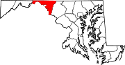
Towns Boonsboro | Clear Spring | Funkstown | Hancock | Keedysville | Sharpsburg | Smithsburg | Williamsport
CDPs Other
communitiesAntietam | Beaver Creek | Benevola | Big Pool | Broadfording | Brownsville | Burtner | Cearfoss | Cedar Grove | Dargan | Downsville | Eakles Mills | Fairplay | Fairview | Gapland | Huyett | Indian Springs | Jugtown | Mapleville | Mercersville | Park Hall | Pecktonville | Pen Mar | Pinesburg | Ringgold | Samples Manor | Sandy Hook | Spielman | Trego | Van Lear | Weverton | Woodmont
Categories:- National Register of Historic Places in Maryland by county
- Washington County, Maryland
-


Wikimedia Foundation. 2010.