- National Register of Historic Places listings in Boyle County, Kentucky
-
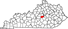 Location of Boyle County in Kentucky
This is a list of the National Register of Historic Places listings in Boyle County, Kentucky.
This is intended to be a complete list of the properties and districts on the National Register of Historic Places in Boyle County, Kentucky, United States. The locations of National Register properties and districts for which the latitude and longitude coordinates are included below, may be seen in a Google map.[1]
There are 92 properties and districts listed on the National Register in the county, including 3 that are National Historic Landmarks.
-
- This National Park Service list is complete through NPS recent listings posted November 10, 2011.[2]
Current listings
[3] Landmark name Image Date listed Location City or town Summary 1 Aliceton Camp Meeting Ground April 9, 1998 657 Ward's Branch Rd.
37°35′22″N 85°01′49″W / 37.589444°N 85.030278°WGravel Switch 2 John Barbee House June 23, 1983 Kentucky Route 34
37°39′51″N 84°43′33″W / 37.664167°N 84.725833°WBryantsville 3 H.P. Bottom House January 1, 1976 Northwest of Perryville on Old Mackville Rd.
37°39′52″N 84°58′14″W / 37.664444°N 84.970556°WPerryville 4 Bower House May 28, 1999 Kentucky Route 34
37°35′50″N 84°53′43″W / 37.597222°N 84.895278°WParksville 5 Boyle County Courthouse 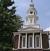
April 11, 1973 Main and 4th Sts.
37°38′47″N 84°46′24″W / 37.646389°N 84.773333°WDanville 6 Judge John Boyle House November 25, 1980 North of Danville on Bellows Mill Rd.
37°42′58″N 84°47′37″W / 37.716111°N 84.793611°WDanville 7 T. B. Bright House and Farmstead November 19, 1997 Kentucky Route 34, 1 mile east of Danville
37°39′52″N 84°43′38″W / 37.664444°N 84.727222°WDanville 8 Nimrod I. Buster House and Farmstead November 21, 1997 0.2 miles east of Buster Rd., 0.1 miles south of Mercer County line
37°42′53″N 84°46′42″W / 37.714722°N 84.778333°WDanville 9 Caldwell House June 23, 1983 Off U.S. Route 150
37°38′07″N 84°51′13″W / 37.635278°N 84.853611°WDanville 10 Charles W. Caldwell House May 28, 1999 0.2 miles north of Kentucky Route 34, 0.6 miles west of U.S Route 127
37°37′47″N 84°48′38″W / 37.629722°N 84.810556°WDanville 11 W. Logan Caldwell Farmstead May 28, 1999 Irvine Rd., 0.4 miles north of Kentucky Route 34
37°37′13″N 84°51′04″W / 37.620278°N 84.851111°WDanville 12 Cambus-Kenneth Estate November 17, 1977 3 miles northwest of Danville off U.S. Route 127
37°40′13″N 84°47′59″W / 37.670278°N 84.799722°WDanville 13 Carnegie Library March 28, 1986 Centre College campus
37°38′40″N 84°46′45″W / 37.644444°N 84.779167°WDanville 14 Cincinnati Southern Railroad Culvert-CSRR April 9, 1998 Crossing of Norfolk Southern railroad line and Mocks Branch
37°41′54″N 84°46′48″W / 37.698333°N 84.78°WDanville 15 Clifton Baptist Church Complex February 12, 1998 Clifton Rd., 1 mile northeast of Kentucky Route 52
37°38′49″N 84°41′30″W / 37.646944°N 84.691667°WClifton 16 Clifton Road Culvert November 21, 1997 Clifton Rd., 0.6 miles north of Kentucky Route 52
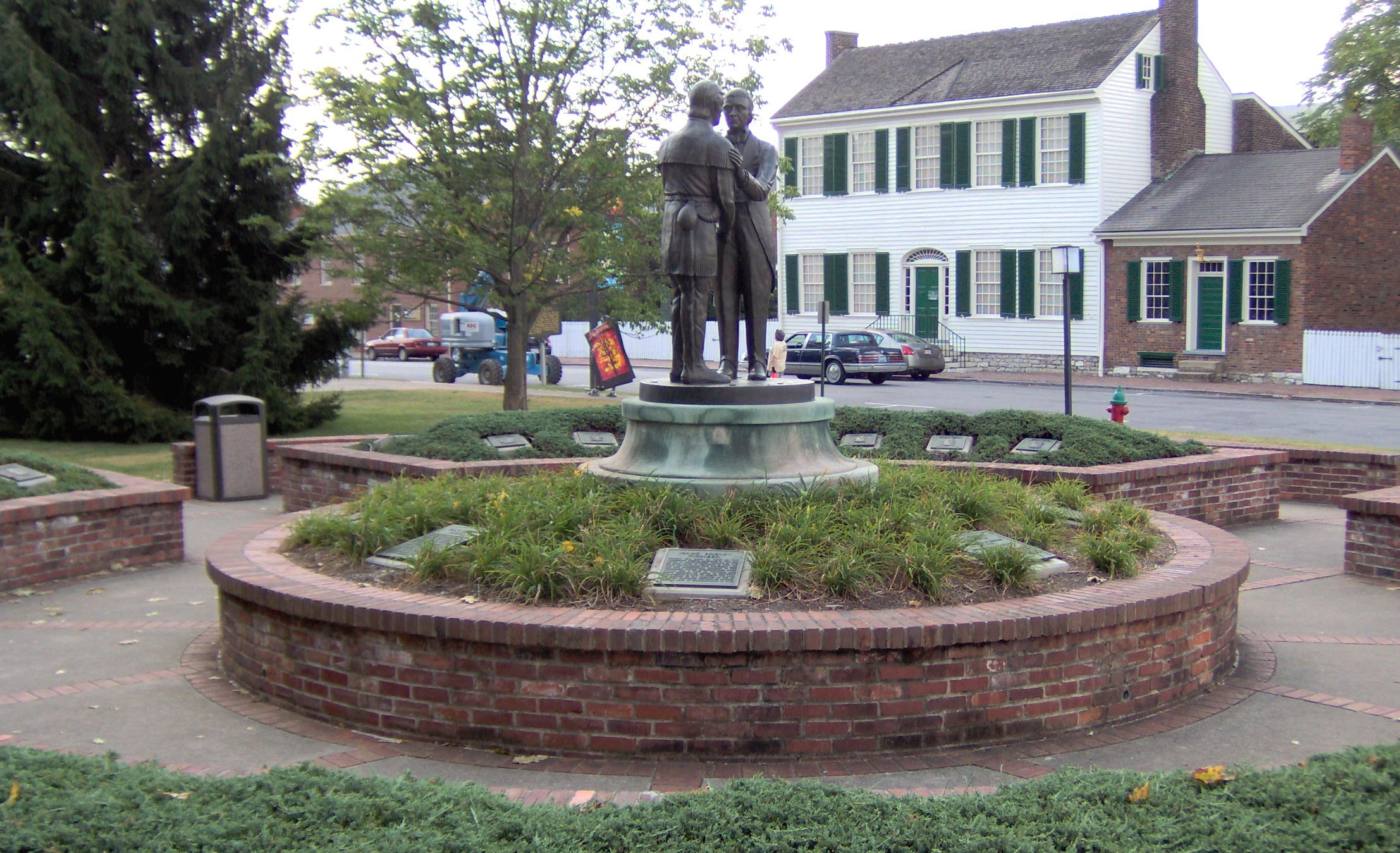
37°38′31″N 84°41′44″W / 37.641944°N 84.695556°WClifton 17 Confederate Monument in Danville 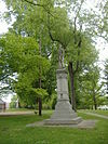
July 17, 1997 Junction of Main and College Sts.
37°38′44″N 84°46′42″W / 37.645556°N 84.778333°WDanville 18 Confederate Monument in Perryville 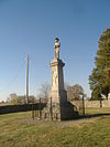
July 17, 1997 Perryville State Historic Site, 2.5 miles northwest of Perryville
37°40′29″N 84°58′17″W / 37.674722°N 84.971389°WPerryville 19 Constitution Square Historic District 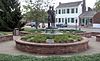
April 2, 1976 Bounded by Main and Walnut Sts., 1st and 2nd Sts.
37°38′42″N 84°46′14″W / 37.645°N 84.770556°WDanville 20 Crawford House January 1, 1976 Northeast of Perryville off U.S. Route 68
37°39′45″N 84°56′24″W / 37.6625°N 84.94°WPerryville 21 William Crow House 
June 23, 1983 Off Kentucky Route 52
37°38′21″N 84°44′46″W / 37.639167°N 84.746111°WBryantsville 22 Crow-Barbee House June 23, 1983 Stanford Rd. and Alta Ave.
37°38′47″N 84°46′24″W / 37.646389°N 84.773333°WDanville 23 Henry Cutter Houses November 21, 1997 678 and 690 Shelby St.
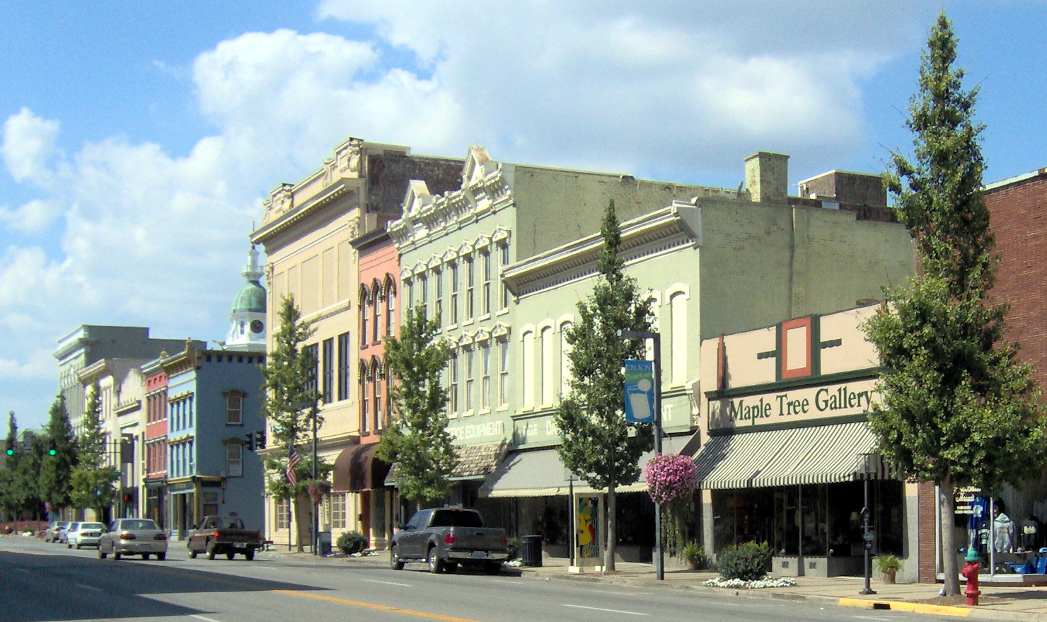
37°35′07″N 84°47′33″W / 37.585278°N 84.7925°WJunction City 24 Danville Commercial District 
March 31, 1986 W. Main between N. 5th and N. 1st, and area bounded by S. 3rd, W. Walnut, and S. 4th
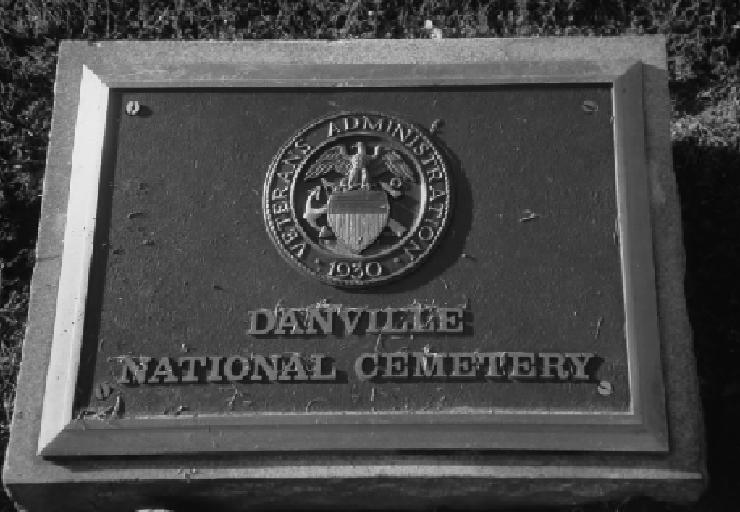
37°38′43″N 84°46′19″W / 37.645278°N 84.771944°WDanville 25 Danville National Cemetery 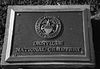
May 29, 1998 277 N. 1st St.
37°39′13″N 84°46′15″W / 37.653611°N 84.770833°WDanville 26 Dutch Barn July 31, 1998 Junction of Spears Ln. and Kentucky Route 33 east of Shakertown Rd.
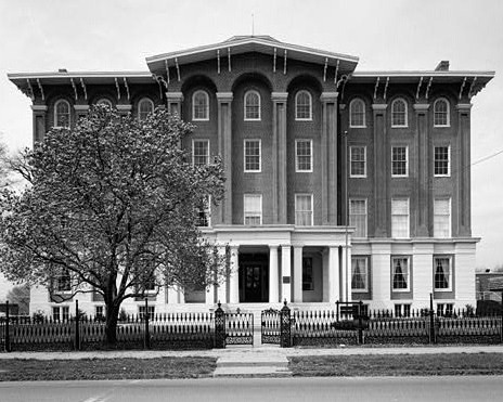
37°40′44″N 84°45′15″W / 37.678889°N 84.754167°WDanville 27 East Main Street Historic District March 31, 1986 419-619 E. Main St.
37°38′42″N 84°45′42″W / 37.645°N 84.761667°WDanville 28 First Christian Church April 9, 1998 Junction of Shelby and Cemetery Sts.
37°35′05″N 84°47′29″W / 37.584722°N 84.791389°WJunction City 29 First Presbyterian Church March 31, 1986 W. Main between N. 5th and N. 6th Sts.
37°38′44″N 84°46′38″W / 37.645556°N 84.777222°WDanville 30 Forest Hill October 16, 1989 Kentucky Route 34, 3 miles northeast of Danville
37°40′09″N 84°43′47″W / 37.669167°N 84.729722°WDanville 31 Forkland School and Gymnasium February 12, 1998 Junction of Kentucky Route 37 and Curtis Rd.
37°33′06″N 84°59′06″W / 37.551667°N 84.985°WGravel Switch 32 Gentry House November 19, 1997 Kentucky Route 150, 0.4 miles south of its bypass
37°37′01″N 84°43′44″W / 37.616944°N 84.728889°WDanville 33 Granite Hill Farmstead November 19, 1997 2570 Lancaster Rd.
37°37′47″N 84°43′48″W / 37.629722°N 84.73°WDanville 34 Willis Grimes House November 21, 1997 8803 Kentucky Route 34
37°37′14″N 84°49′36″W / 37.620556°N 84.826667°WDanville 35 Guthrie-May House May 28, 1999 North of the junction of Kentucky Routes 37 and 243
37°33′12″N 85°01′24″W / 37.553333°N 85.023333°WGravel Switch 36 Hankla-Walker House July 31, 1998 0.3 miles northwest of Kentucky Route 1920, 0.6 miles south of Whites Rd.
37°40′37″N 84°57′41″W / 37.676944°N 84.961389°WPerryville 37 Harlan's Station Site October 21, 1976 5 miles west of Danville on Salt River Rd.
37°40′21″N 84°52′21″W / 37.6725°N 84.8725°WDanville 38 Elijah Harlan House June 23, 1983 U.S. Route 150
37°40′07″N 84°52′09″W / 37.668611°N 84.869167°WDanville 39 Harlan-Bruce House November 14, 1978 5 miles (8 km) east of Danville off Kentucky Route 52
37°37′40″N 84°42′31″W / 37.627778°N 84.708611°WDanville 40 Harrodsburg Pike Rural Historic District December 21, 1998 Western side of U.S. Route 127, 3.25 miles south of the county line
37°40′49″N 84°48′31″W / 37.680278°N 84.808611°WDanville 41 W.H. Haskins House March 31, 1986 420 Lexington Ave.
37°39′04″N 84°45′32″W / 37.651111°N 84.758889°WDanville 42 A. Hutchings House November 19, 1997 Kentucky Route 52, 0.2 miles west of its junction with Kentucky Route 590
37°38′07″N 84°41′11″W / 37.635278°N 84.686389°WDanville 43 Jacobs Hall 
October 15, 1966 Kentucky School for the Deaf
303 S. 2rd St.
37°38′29″N 84°46′18″W / 37.641389°N 84.771667°WDanville 44 Junction City Municipal Building April 9, 1998 Junction of Shelby and Lucas Sts.
37°35′14″N 84°47′49″W / 37.587222°N 84.796944°WJunction City 45 Abner Knox Farm June 23, 1983 U.S. Route 150
37°38′59″N 84°51′51″W / 37.649722°N 84.864167°WDanville 46 Lazy Acres Farm May 28, 1999 3910 Hustonville Rd.
37°35′22″N 84°46′27″W / 37.589444°N 84.774167°WDanville 47 Lexington Avenue-Broadway Historic District January 12, 1987 W. and E. Lexington between N. 5th and Old Wilderness Rd. and area bounded by N. Larrimore, W. Broadway, and N. 5th
37°38′53″N 84°46′13″W / 37.648056°N 84.770278°WDanville 48 Maple Avenue District June 16, 1987 Both sides of Maple Ave. between W. Main and High
37°38′59″N 84°46′57″W / 37.649722°N 84.7825°WDanville 49 Marshall House June 23, 1983 Off Kentucky Route 34
37°37′14″N 84°48′29″W / 37.620556°N 84.808056°WJunction City 50 Peter Mason House November 27, 1991 Off U.S. Route 127, 3 miles north of Danville
37°41′55″N 84°48′42″W / 37.698611°N 84.811667°WDanville 51 McClure-Barbee House March 7, 1973 304 S. 4th St.
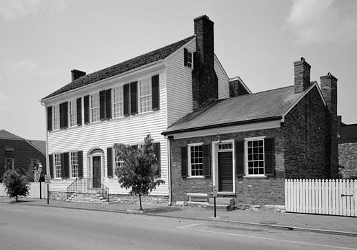
37°38′36″N 84°46′26″W / 37.643333°N 84.773889°WDanville 52 Dr. Ephraim McDowell House 
October 15, 1966 125-127 S. 2nd St.
37°38′43″N 84°46′15″W / 37.645278°N 84.770833°WDanville 53 McFerran House November 21, 1997 U.S. Route 127, 0.2 miles south of Kentucky Route 150
37°36′54″N 84°46′37″W / 37.615°N 84.776944°WDanville 54 Melrose April 3, 1986 U.S. Route 127
37°41′19″N 84°47′43″W / 37.688611°N 84.795278°WDanville 55 James P. Mitchell House and Farmstead November 19, 1997 Kentucky Route 34, 0.4 miles from its junction with Kentucky Route 1856
37°36′04″N 84°56′42″W / 37.601111°N 84.945°WMitchellsburg 56 Mitchellsburg Louisville and Nashville Railroad Culvert April 9, 1998 L&N railroad grade over Buck Creek
37°36′05″N 84°57′10″W / 37.601389°N 84.952778°WMitchellsburg 57 Randolf Mock Farm June 23, 1983 Off Kentucky Route 33
37°41′44″N 84°45′06″W / 37.695556°N 84.751667°WDanville 58 Christopher Collins Moore Farm December 29, 1994 3901 Harrodsburg Rd.
37°41′29″N 84°48′08″W / 37.691389°N 84.802222°WDanville 59 J.J. Moore House November 21, 1997 Junction of Kentucky Routes 34 and 1822
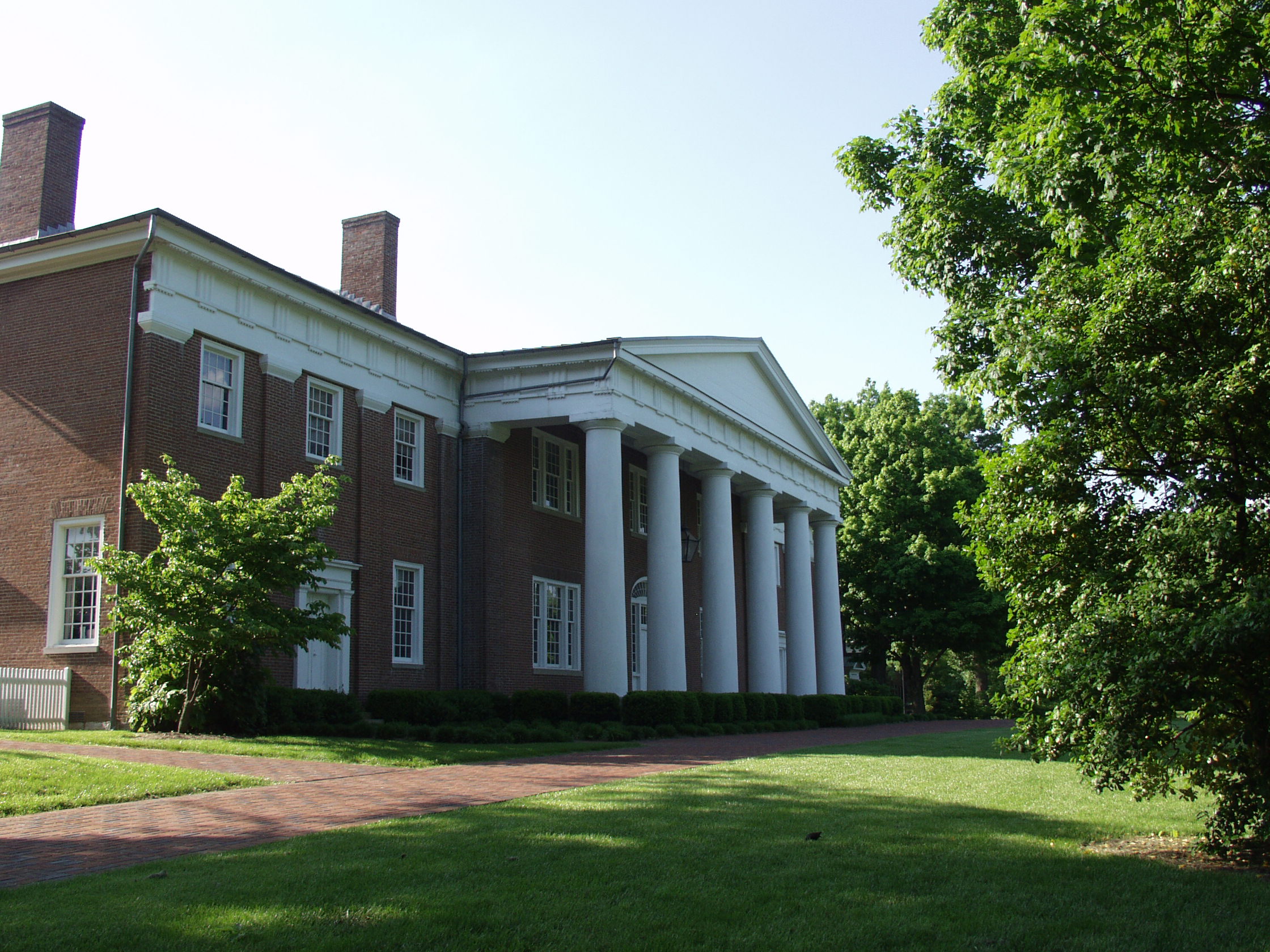
37°36′20″N 84°52′54″W / 37.605556°N 84.881667°WParksville 60 Old Centre 
August 25, 1972 W. Walnut St., Centre College campus
37°38′44″N 84°46′54″W / 37.645556°N 84.781667°WDanville 61 Mary Simpson Oldham House November 19, 1997 2907 Perryville Rd.
37°39′20″N 84°49′12″W / 37.655556°N 84.82°WDanville 62 Penn's Store February 12, 1998 0.1 miles west of Kentucky Route 243, on Boyle-Casey County line
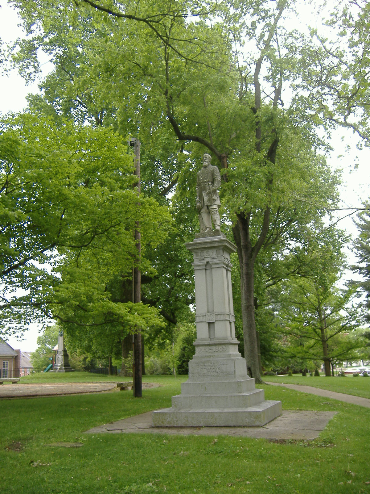
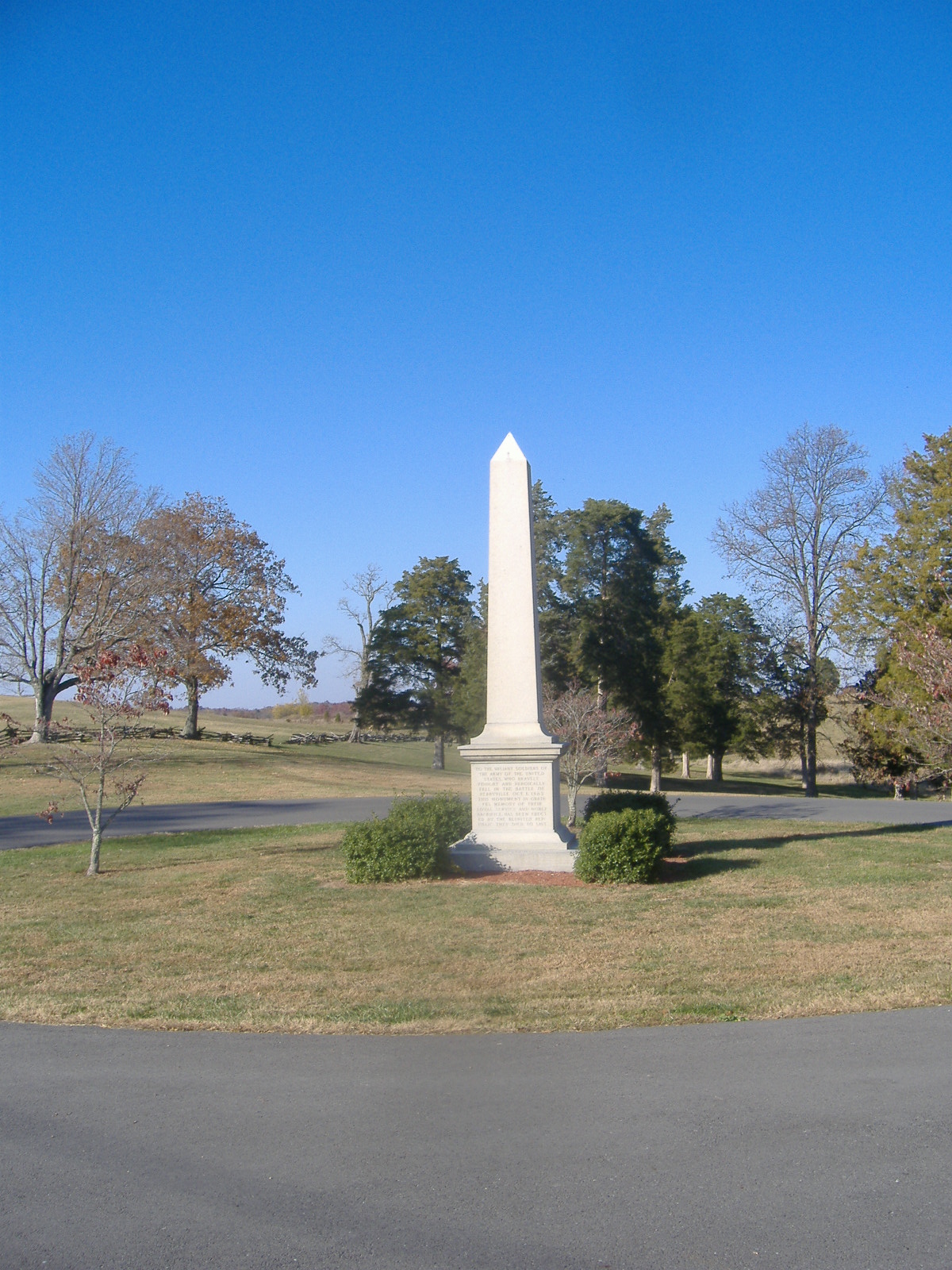
37°32′59″N 85°01′41″W / 37.549722°N 85.028056°WGravel Switch 63 Perryville Battlefield October 15, 1966 West of Perryville on U.S. Route 150 Perryville 64 Perryville Historic District October 25, 1973 Roughly bounded by Sheridan Ave., Wood, Jefferson, and 5th Sts.
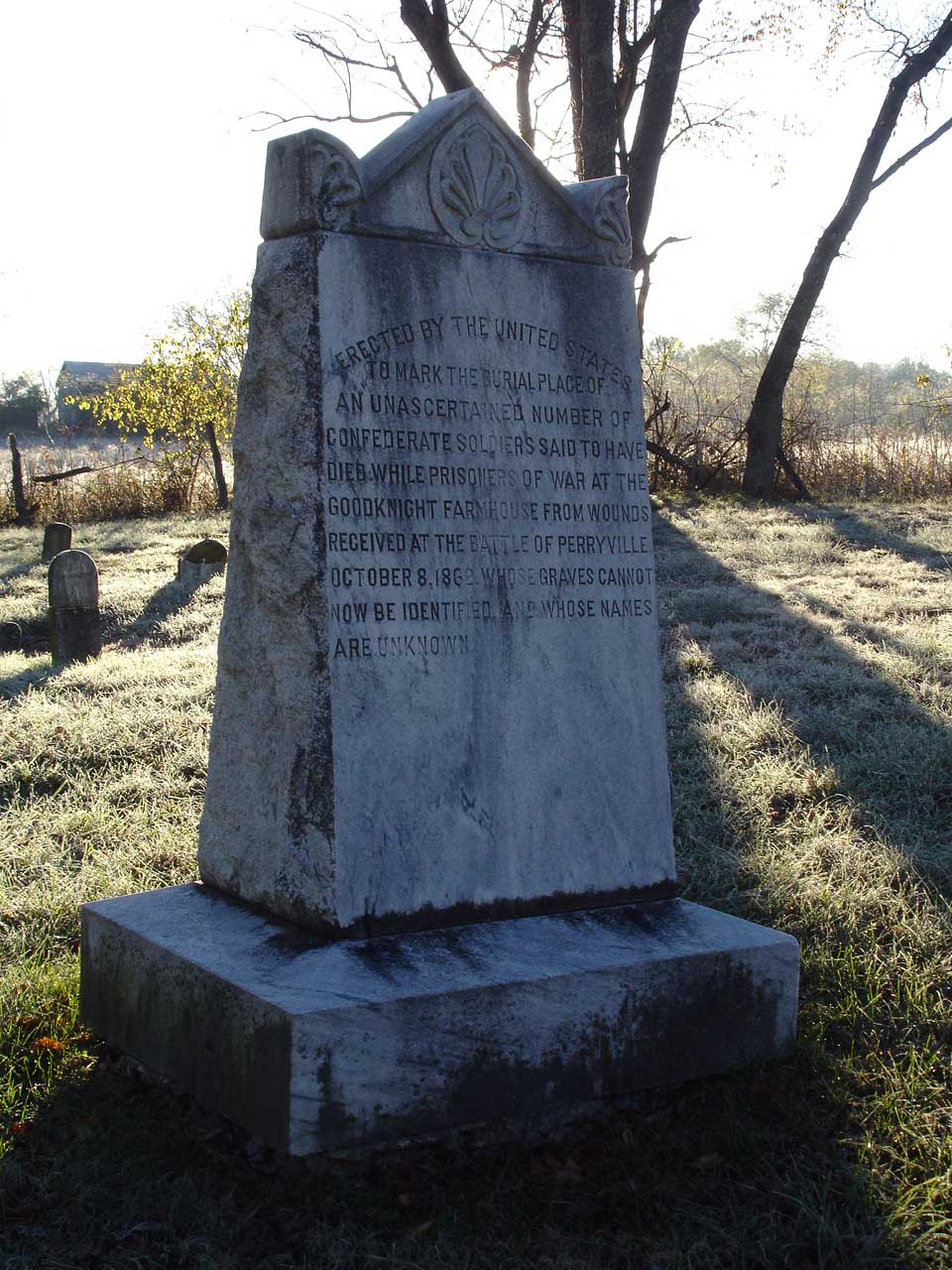
37°38′58″N 84°57′04″W / 37.649444°N 84.951111°WPerryville 65 Pleasant Vale November 15, 1984 Lexington Rd.
37°40′19″N 84°45′05″W / 37.671944°N 84.751389°WDanville 66 Purdom-Lewis-Hutchison House November 19, 1997 Curtis Rd. at the Rolling Fork River
37°32′37″N 84°58′57″W / 37.543611°N 84.9825°WGravel Switch 67 Rice-Worthington House March 30, 1995 0.3 miles south of Faulconer Rd., on S. Buster Pike
37°42′08″N 84°46′49″W / 37.702222°N 84.780278°WDanville 68 James Robinson House April 9, 1998 Kentucky Route 1856, 1.5 miles north of Kentucky Route 34
37°37′04″N 84°57′16″W / 37.617778°N 84.954444°WMitchellsburg 69 Rosel Hotel November 21, 1997 Junction of Shelby St. and White Oak Rd.
37°35′15″N 84°47′51″W / 37.5875°N 84.7975°WJunction City 70 Roselawn March 13, 1986 U.S. Route 127
37°40′54″N 84°47′18″W / 37.681667°N 84.788333°WDanville 71 St. Mildred's Court-West Lexington Avenue Historic District January 28, 1994 125-162 St. Mildred's Ct. and 797-852 W. Lexington Ave.
37°38′55″N 84°46′52″W / 37.648611°N 84.781111°WDanville 72 Salt River Road November 19, 1997 Along Salt River Rd.
37°39′38″N 84°51′49″W / 37.660556°N 84.863611°WDanville 73 Spears-Craig House November 21, 1997 0.1 miles west of Kentucky Route 33, 0.6 miles south of Spears Ln.
37°40′22″N 84°45′59″W / 37.672778°N 84.766389°WDanville 74 Spring Hill (Thomas Lillard House) January 27, 1983 South of Danville on U.S. Route 150
37°36′47″N 84°43′14″W / 37.613056°N 84.720556°WDanville 75 Stone Bridge at Chaplin Creek April 9, 1998 Junction of Cash Rd. and Old Mitchellsburg Rd.
37°35′51″N 84°54′38″W / 37.5975°N 84.910556°WParksville 76 Stone House on Old Stage Road June 23, 1983 Kentucky Route 34
37°40′07″N 84°43′19″W / 37.668611°N 84.721944°WBryantsville 77 Tank Pond Railroad Underpass April 9, 1998 Junction of Tank Pond Rd. and Kentucky Route 34
37°35′44″N 84°54′39″W / 37.595556°N 84.910833°WMitchellsburg 78 Terrace Court Historic District August 31, 2010 North and south sides of Terrace Ct., west of Old Wilderness Rd. Danville 79 William Thompson House June 23, 1983 Off U.S. Route 68
37°40′55″N 84°55′02″W / 37.681944°N 84.917222°WPerryville 80 Three Gothic Villas July 20, 1977 Northwest of Danville off U.S. Route 127, 525 Maple Ave., and south of Danville off Kentucky Route 35
37°39′15″N 84°47′01″W / 37.654167°N 84.783611°WDanville 81 Todd-Montgomery Houses March 26, 1976 229, 243, 251, and 305 N. 3rd St.
37°38′55″N 84°46′21″W / 37.648611°N 84.7725°WDanville 82 Trinity Episcopal Church 
September 15, 1977 320 W. Main St.
37°38′43″N 84°46′24″W / 37.645278°N 84.773333°WDanville 83 Union Monument in Perryville 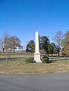
July 17, 1997 Perryville Battlefield State Historic Site, 2.5 miles northwest of Perryville
37°40′30″N 84°58′17″W / 37.675°N 84.971389°WPerryville 84 Unknown Confederate Dead Monument in Perryville 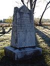
July 17, 1997 Address Restricted Perryville 85 J.S. and Nannie Vanarsdale House November 19, 1997 Kentucky Route 52 in Atoka
37°38′54″N 84°51′40″W / 37.648333°N 84.861111°WDanville 86 Vermillion House and Farmstead August 14, 1998 378 Salt River Rd.
37°41′26″N 84°52′50″W / 37.690556°N 84.880556°WDanville 87 J.S. Wallace House November 19, 1997 Kentucky Route 34, 0.4 miles south of the Mercer County line
37°42′31″N 84°45′46″W / 37.708611°N 84.762778°WDanville 88 Warehouse District March 31, 1986 Intersection of Harding and W. Walnut Sts.
37°38′42″N 84°47′06″W / 37.645°N 84.785°WDanville 89 Waveland May 6, 1976 0.5 miles south of Danville
37°37′28″N 84°46′06″W / 37.624444°N 84.768333°WDanville 90 Wilson's Station 
November 21, 1997 3750 Lebanon Rd.
37°37′15″N 84°48′49″W / 37.620833°N 84.813611°WDanville 91 Charles T. Worthington House November 21, 1997 0.3 miles west of Bluegrass Rd., 0.6 miles north of Gentry Ln.
37°41′01″N 84°50′06″W / 37.683611°N 84.835°WDanville 92 Samuel Yeager House November 19, 1997 Kentucky Route 590, 0.7 miles south of its junction with Kentucky Route 52
37°37′31″N 84°41′08″W / 37.625278°N 84.685556°WDanville See also
- List of National Historic Landmarks in Kentucky
- National Register of Historic Places listings in Kentucky
References
- ^ The latitude and longitude information provided in this table was derived originally from the National Register Information System, which has been found to be fairly accurate for about 99% of listings. For about 1% of NRIS original coordinates, experience has shown that one or both coordinates are typos or otherwise extremely far off; some corrections may have been made. A more subtle problem causes many locations to be off by up to 150 yards, depending on location in the country: most NRIS coordinates were derived from tracing out latitude and longitudes off of USGS topographical quadrant maps created under the North American Datum of 1927, which differs from the current, highly accurate WGS84 GPS system used by Google maps. Chicago is about right, but NRIS longitudes in Washington are higher by about 4.5 seconds, and are lower by about 2.0 seconds in Maine. Latitudes differ by about 1.0 second in Florida. Some locations in this table may have been corrected to current GPS standards.
- ^ "National Register of Historic Places: Weekly List Actions". National Park Service, United States Department of the Interior. Retrieved on November 10, 2011.
- ^ Numbers represent an ordering by significant words. Various colorings, defined here, differentiate National Historic Landmark sites and National Register of Historic Places Districts from other NRHP buildings, structures, sites or objects.
U.S. National Register of Historic Places Topics Lists by states Alabama • Alaska • Arizona • Arkansas • California • Colorado • Connecticut • Delaware • Florida • Georgia • Hawaii • Idaho • Illinois • Indiana • Iowa • Kansas • Kentucky • Louisiana • Maine • Maryland • Massachusetts • Michigan • Minnesota • Mississippi • Missouri • Montana • Nebraska • Nevada • New Hampshire • New Jersey • New Mexico • New York • North Carolina • North Dakota • Ohio • Oklahoma • Oregon • Pennsylvania • Rhode Island • South Carolina • South Dakota • Tennessee • Texas • Utah • Vermont • Virginia • Washington • West Virginia • Wisconsin • WyomingLists by territories Lists by associated states Other Municipalities and communities of Boyle County, Kentucky Cities 
Unincorporated
communitiesForkland | Mitchellsburg | Parksville
Categories:- National Register of Historic Places in Kentucky by county
- Boyle County, Kentucky
-


Wikimedia Foundation. 2010.