- Bonfield, Ontario
Infobox Settlement
official_name = Township of Bonfield
native_name =
nickname =
settlement_type = Township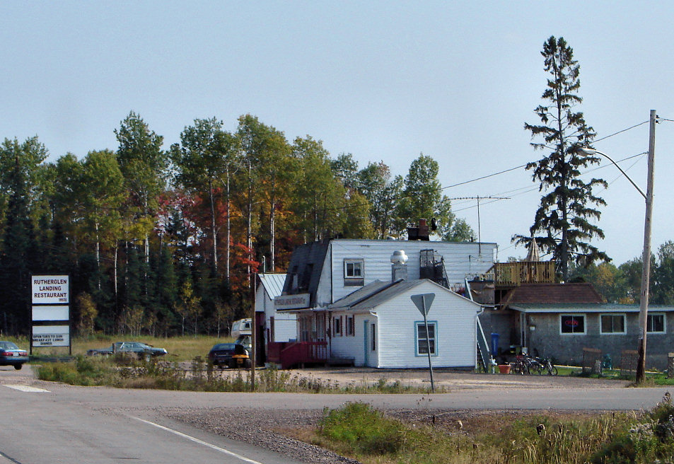
imagesize =
image_caption = Roadside restaurant in Rutherglen
subdivision_type = Country
subdivision_name =Canada
subdivision_type1 = Province
subdivision_name1 =Ontario
subdivision_type2 = District
subdivision_name2 = Nipissing
leader_title = Mayor
leader_name2 =
leader_name = Narry McCarthy
area_magnitude =
area_total_km2 = 205.75
area_land_km2 =
area_land_sq_mi =
area_water_km2 =
area_water_sq_mi =
area_water_percent =
area_urban_km2 =
area_urban_sq_mi =
area_metro_sq_mi =
population_as_of = 2006
population_note =
population_total = 2,009
population_density_km2 = 9.8
timezone = Eastern (EST)
utc_offset = -5
timezone_DST =
utc_offset_DST =
website = http://ebonfield.org
postal_code_type = Postal code
postal_code = P0H 1E0
area_code = (705)
footnotes =Bonfield is a township in northeastern
Ontario ,Canada on theMattawa River in Nipissing District.The township comprises the communities of Blanchard's Landing, Bonfield, Grand Desert and Rutherglen. The community of Bonfield is connected to Ontario Highway 17 by Ontario Highway 531, while Rutherglen is located directly on the route of Highway 17 and the other communities are located on local roads within the township.
In 2007, Bonfield, along with with the town of Mattawa and the townships of Papineau-Cameron, Mattawan and Calvin cooperated to create a newly-branded "Mattawa Voyageur Country" tourist region in order to promote the area. [Adams, K. [http://baytoday.ca/content/news/details.asp?c=20828 "Mattawa sports a new look"] , "Baytoday.ca",
July 17 ,2007 . AccessedMarch 28 ,2008 .]History
The community of Bonfield was first settled in 1882 as a station on the
Canadian Pacific Railway .Located on the north shore of
Lake Nosbonsing , where the railway crosses theKaibuskong River , this place was originally named by the CPR as Callander Station. The community of Callander, on the South-East Bay ofLake Nipissing , had been named Callander in 1880, to honour the birthplace inScotland of Duncan McIntyre, then president of the Canada Central Railway (CCR). It was at this place on the shore of Lake Nipissing, that the CCR intended to connect with the proposed eastern terminus of the CPR. In 1881 the Canada Central Railway was merged into the Canadian Pacific, as McIntyre became its vice president. As construction of the railway approached Lake Nipissing from the east, it turned away from the South-East Bay, towards the North Bay of Lake Nipissing instead. This was the closest point the CPR would come to the village of Callander, therefore this place was named Callander Station.After the Northern and Pacific Junction Railway established a station in the original village of Callander in 1886 and was taken over by the
Grand Trunk Railway in 1888, there was much confusion between the station in Callander and Callander Station. The CPR location, Callander Station was renamed Bonfield, adopting the name of the township in which it is located.Demographics
According to the
Canada 2006 Census :
*Population: 2,009
*% Change (2001 -2006 ): -2.7
*Dwellings: 851
*Area (km².): 205.75
*Density (persons per km².): 9.8References
External links
* [http://www.ebonfield.org Township of Bonfield]
Geographic Location (8-way)
Centre = Bonfield
North = "Mattawa River " / Unorganized North Nipissing District
Northeast =
East = Calvin
Southeast =
South = Unorganized South Nipissing District (Algonquin Park )
Southwest = Chisholm
West = East Ferris
Northwest =
Wikimedia Foundation. 2010.