North Carolina — This article is about the U.S. state of North Carolina. For other uses, see North Carolina (disambiguation). The Old North State redirects here. For the song of the same name, see The Old North State (song). State of North Carolina … Wikipedia
North Carolina General Assembly of 1899–1900 — Members of the North Carolina General Assembly for the 1899–1900 session were elected in November 1898. The election saw the Democratic Party return to majority status in both houses, replacing the fusion of Republicans and Populists. After this… … Wikipedia
North Carolina General Assembly of 1899-1900 — Members of the North Carolina General Assembly for the 1899 1900 session were elected in November 1898. The election saw the Democratic Party return to majority status in both houses, replacing the fusion of Republicans and Populists. After this… … Wikipedia
North Carolina News Network — The North Carolina News Network (sometimes called NCNN) is a news and information service established in 1942. It provides programming to approximately 75 radio stations, primarily in the state of North Carolina, and can also be heard by Internet … Wikipedia
North Carolina General Assembly of 1777 — The North Carolina General Assembly of 1777 met in two sessions in New Bern, North Carolina, from April 7 to May 9, 1777, and from November 15 to December 24, 1777. This was the first North Carolina legislature elected after the last provincial… … Wikipedia
North Carolina Highway 53 — NC 53 Route information Maintained by NCDOT Length: 124 mi (200 km) Existed … Wikipedia
Montague, North Carolina — Montague is an unincorporated settlement in Pender County, North Carolina, United States, east of Currie, and southeast of Yamacraw. Coordinates: 34°26′02″N 78°03′58″W / … Wikipedia
Star, North Carolina — Infobox Settlement official name = Star, North Carolina settlement type = Town nickname = motto = imagesize = image caption = image mapsize = 250x200px map caption = Location of Star, North Carolina mapsize1 = map caption1 = subdivision type =… … Wikipedia
Riegelwood, North Carolina — Riegelwood is an unincorporated town in Columbus County, North Carolina. On November 16, 2006 at 6:29 am EST, a tornado warning had been issued for eastern Columbus County , and prior to that a severe thunderstorm warning was issued for the same… … Wikipedia
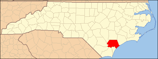
National Register of Historic Places listings in Pender County, North Carolina — Map of all coordinates from Google Map of all coordinates from Bing … Wikipedia