- John C. Stennis Lock and Dam
-
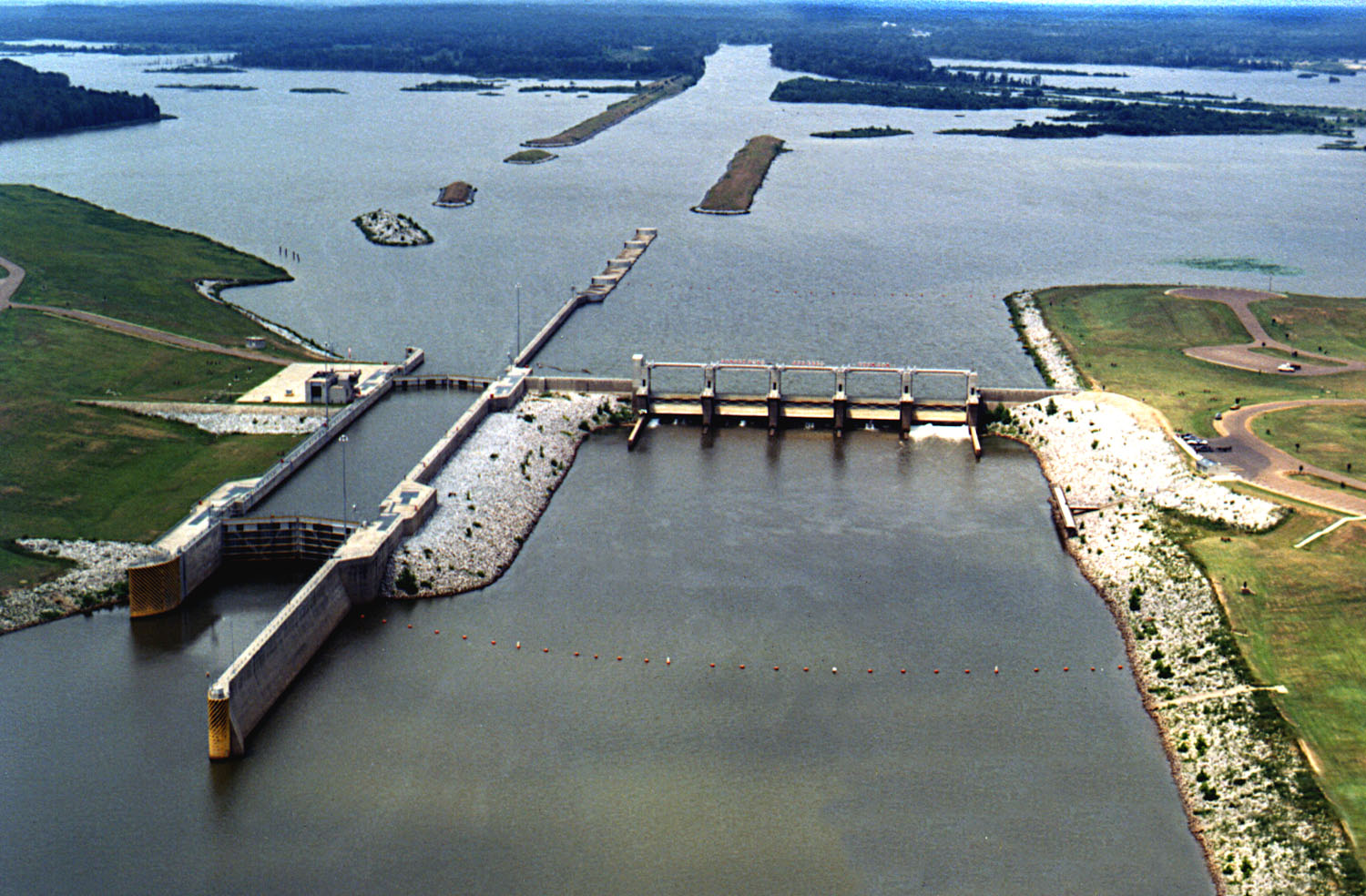
 Aerial view of John C. Stennis Lock and Dam. View is upriver to the north-northwest.
The John C. Stennis Lock and Dam, formerly named Columbus Lock and Dam, is one of four lock and dam structures on the Tennessee-Tombigbee Waterway that generally lie along the original course of the Tombigbee River. It is located near Columbus, Mississippi, and impounds Columbus Lake. It is named for longtime U.S. Senator from Mississippi, John C. Stennis.[1][2]
References
- ^ "About the Tenn-Tom Waterway: Waterway Description and Components". Tennessee-Tombigbee Waterway Development Authority. 2009-11-26. http://www.tenntom.org/about/ttwkeycomponents.htm.
- ^ "Columbus Lock and Dam". Geographic Names Information System. United States Geological Survey. http://geonames.usgs.gov/pls/gnispublic/f?p=gnispq:3:::NO::P3_FID:690832. Retrieved 2006-05-02.
External links
- Tennessee-Tombigbee Waterway (U.S. Army Corps of Engineers)
- Tennessee-Tombigbee Waterway – Pictures and stories
Coordinates: 33°31′5.31″N 88°29′20.34″W / 33.5181417°N 88.4889833°W
Howell Heflin • Tom Bevill • John C. Stennis • Aberdeen • Amory • Glover Wilkins • Fulton • John Rankin • G.V. Montgomery • Jamie WhittenCategories:- Southern United States building and structure stubs
- Mississippi stubs
- United States dam stubs
- Dams in Mississippi
- Buildings and structures in Lowndes County, Mississippi
- Tennessee–Tombigbee Waterway
- Crossings of the Tombigbee River
Wikimedia Foundation. 2010.