- Dürrenhorn
-
Dürrenhorn 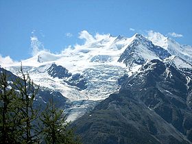
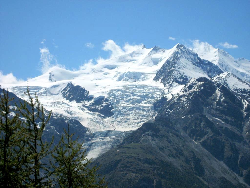
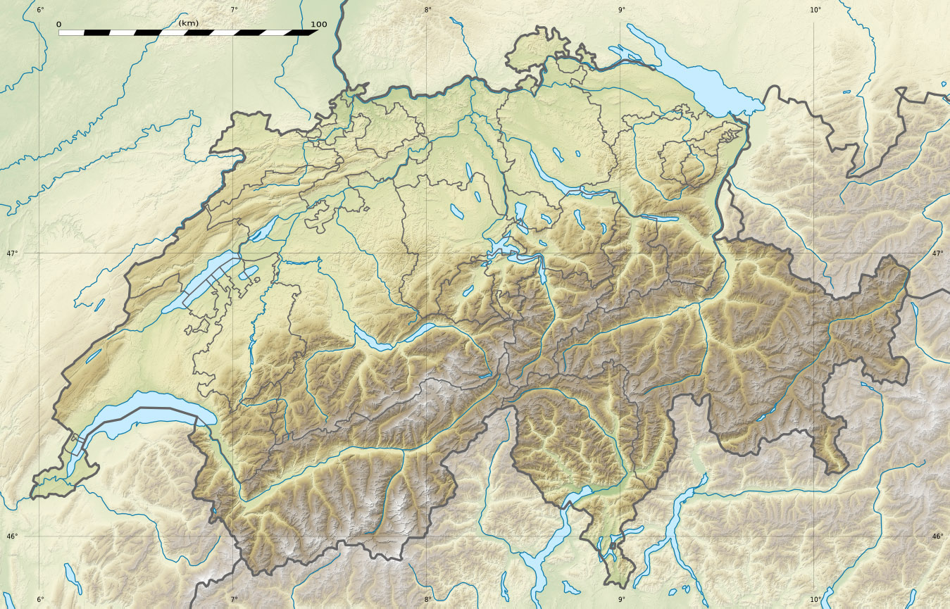
The Dürrenhorn on the right, above the Ried GlacierElevation 4,035 m (13,238 ft) Prominence 123 m (404 ft) [1] Parent peak Dom Location Location in Switzerland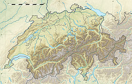
 Dürrenhorn
Location  Switzerland
Range Pennine Alps Coordinates 46°07′11″N 7°50′53″E / 46.11972°N 7.84806°ECoordinates: 46°07′11″N 7°50′53″E / 46.11972°N 7.84806°E Climbing First ascent 7 September 1879 by Albert Frederick Mummery and William Penhall with guides Alexander Burgener and Ferdinand Imseng The Dürrenhorn (4,035 m) (also Dirruhorn) is a summit in the Pennine Alps in Switzerland. It lies towards the northern end of the Nadelgrat, a high-level ridge running roughly north–south above the resort of Saas-Fee to the east, and the Mattertal to the west. It is part of the Mischabel range, which culminates at the Dom (4,545 m).
References
External links
Categories:- Alpine Four-thousanders
- Mountains of the Alps
- Mountains of Valais
- Pennine Alps
- Valais geography stubs
Wikimedia Foundation. 2010.