- Basin, Wyoming
Infobox Settlement
official_name = Basin, Wyoming
settlement_type =Town
nickname =
motto =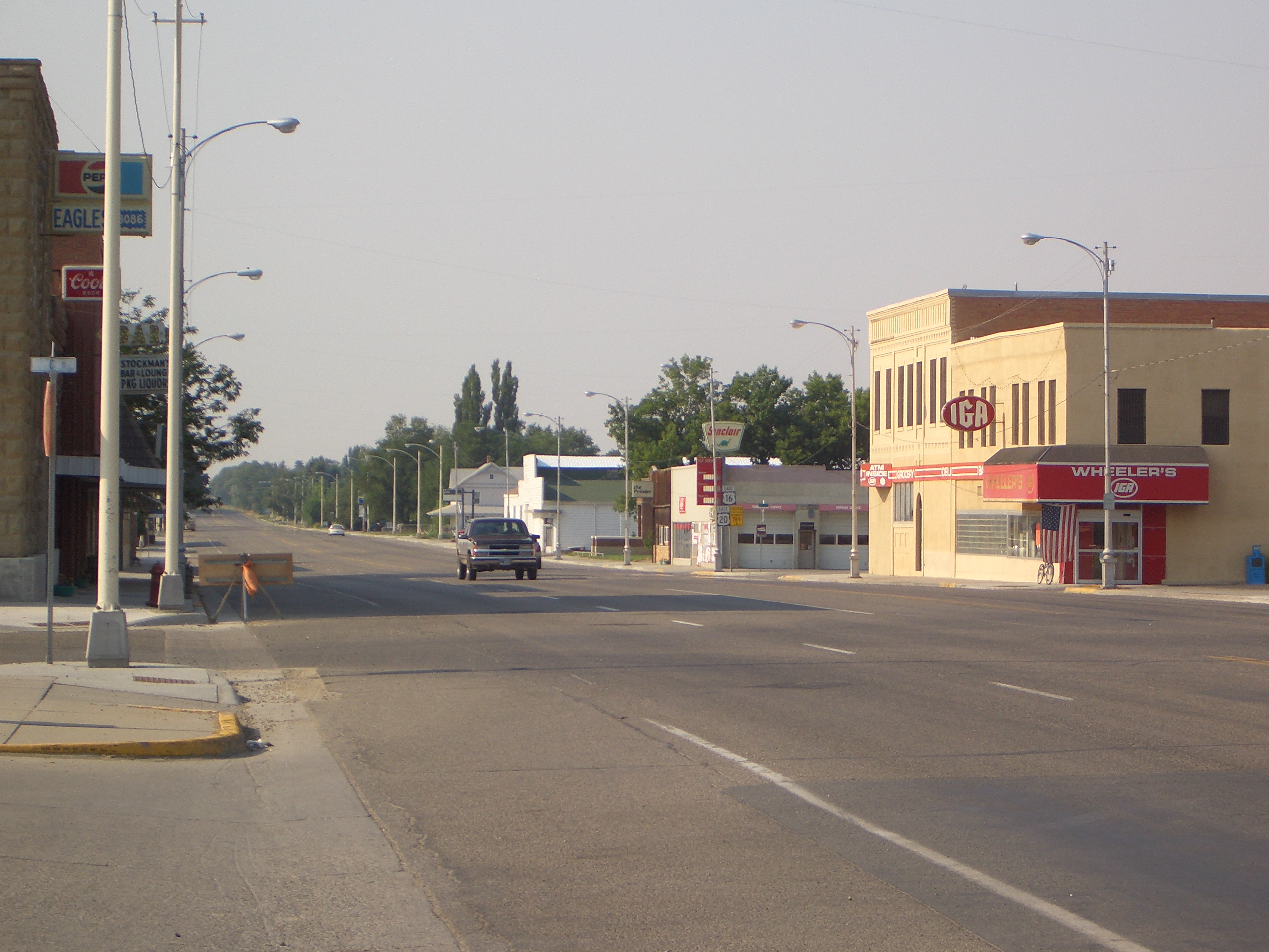
imagesize = 250px
image_caption = downtown Basin, Wyoming
image_
mapsize = 250px
map_caption = Location of Basin, Wyoming
mapsize1 =
map_caption1 =subdivision_type = Country
subdivision_name =United States
subdivision_type1 = State
subdivision_name1 =Wyoming
subdivision_type2 = County
subdivision_name2 = Big Horngovernment_footnotes =
government_type =
leader_title =
leader_name =
leader_title1 =
leader_name1 =
established_title =
established_date =unit_pref = Imperial
area_footnotes =area_magnitude =
area_total_km2 = 5.3
area_land_km2 = 5.2
area_water_km2 = 0.1
area_total_sq_mi = 2.0
area_land_sq_mi = 2.0
area_water_sq_mi = 0.0population_as_of = 2000
population_footnotes =
population_total = 1238
population_density_km2 = 236.9
population_density_sq_mi = 613.7timezone = Mountain (MST)
utc_offset = -7
timezone_DST = MDT
utc_offset_DST = -6
elevation_footnotes =
elevation_m = 1182
elevation_ft = 3878
latd = 44 |latm = 22 |lats = 44 |latNS = N
longd = 108 |longm = 2 |longs = 35 |longEW = Wpostal_code_type =
ZIP code
postal_code = 82410
area_code = 307
blank_name = FIPS code
blank_info = 56-05320GR|2
blank1_name = GNIS feature ID
blank1_info = 1585173GR|3
website =
footnotes =Basin is a town in, and the
county seat of, Big Horn County,Wyoming ,United States .GR|6 The population was 1,239 at the 2000 census. The community is located near the center of theBighorn Basin with theBig Horn River east of the town.Geography
Basin is located at coor dms|44|22|44|N|108|2|35|W|city (44.378777, -108.043100)GR|1.
According to the
United States Census Bureau , the town has a total area of 2.0square mile s (5.3km² ), of which, 2.0 square miles (5.2 km²) of it is land and 0.04 square miles (0.1 km²) of it (1.47%) is water.Demographics
As of the
census GR|2 of 2000, there were 1,238 people, 504 households, and 330 families residing in the town. Thepopulation density was 613.7 people per square mile (236.6/km²). There were 565 housing units at an average density of 280.1/sq mi (108.0/km²). The racial makeup of the town was 96.77% White, 0.08% African American, 1.05% Native American, 0.24% Asian, 0.97% from other races, and 0.89% from two or more races. Hispanic or Latino of any race were 2.26% of the population.There were 504 households out of which 22.2% had children under the age of 18 living with them, 56.3% were married couples living together, 6.3% had a female householder with no husband present, and 34.5% were non-families. 31.3% of all households were made up of individuals and 16.5% had someone living alone who was 65 years of age or older. The average household size was 2.20 and the average family size was 2.74.
In the town the population was spread out with 20.1% under the age of 18, 5.5% from 18 to 24, 19.6% from 25 to 44, 27.9% from 45 to 64, and 26.9% who were 65 years of age or older. The median age was 48 years. For every 100 females there were 90.8 males. For every 100 females age 18 and over, there were 86.6 males.
The median income for a household in the town was $33,519, and the median income for a family was $42,768. Males had a median income of $33,942 versus $20,139 for females. The
per capita income for the town was $17,890. About 6.1% of families and 11.6% of the population were below thepoverty line , including 17.5% of those under age 18 and 12.7% of those age 65 or over.References
External links
* [http://www.smalltownpapers.com/listBAR.htm Basin Republican Rustler]
Wikimedia Foundation. 2010.