- Dale Street
-
Coordinates: 53°24′29″N 2°59′13″W / 53.408°N 2.987°W
 Dale Street
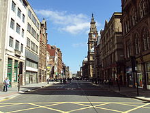
Dale Street Liverpool, England is a street in the Commercial Centre conservation area. The street together with Castle Street, Old Hall Street, Victoria Street and Water Street are the main commercial streets and occupy area of the medieval town of Liverpool. It contains many Grade II listed buildings.[1]
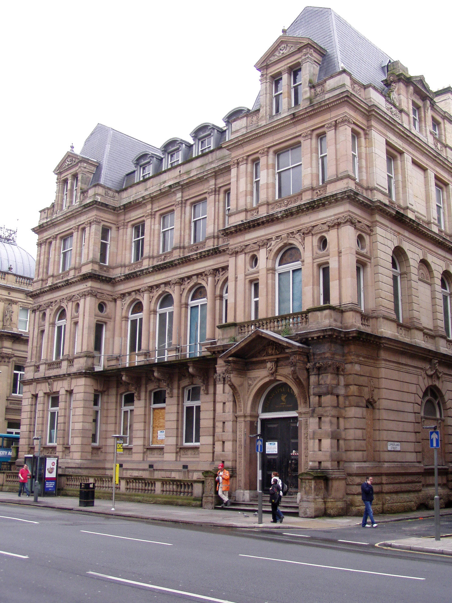
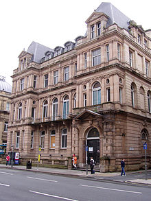 Municipal Annexe
Grade II Listed buildings
- Liverpool and Globe Building[2]
- Union Marine Buildings
- Saddle Inn
- Rigby's Building
- Guardian Assurance Buildings
- Nos. 51 to 55 ( odd )
- Magistrates' Courts
- Nos. 135 to 139 ( odd )
- Queen's Buildings
- State Insurance Building
- The Temple
- Prudential Assurance Building
- Buckley's Building
- Muskar's Buildings
- Imperial Chambers
- Municipal Annexe
- Municipal Buildings
- Nos. 86 to 98
References
- ^ "Buildings of Dale Street". Liverpool World Heritage. http://www.liverpoolworldheritage.com/visitingthewhs/areas/castlestreet/dalestreet.asp. Retrieved 12 April 2008.
- ^ "Castle Street Conservation Area". Liverpool World Heritage. http://www.liverpoolworldheritage.com/visitingthewhs/areas/castlestreet/index.asp. Retrieved 12 April 2008.

This England road or road transport-related article is a stub. You can help Wikipedia by expanding it.