- Great Chishill
-
Coordinates: 52°01′59″N 0°04′01″E / 52.033°N 0.067°E
Great Chishill 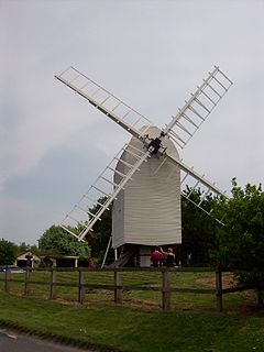
The windmill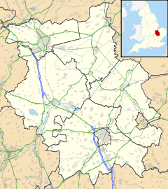
 Great Chishill
Great Chishill shown within CambridgeshireOS grid reference TL427386 Shire county Cambridgeshire Region East Country England Sovereign state United Kingdom EU Parliament East of England List of places: UK • England • Cambridgeshire Great Chishill is a village forming part of the civil parish of Great and Little Chishill in the south of the county of Cambridgeshire.[1] The church is in the Perpendicular style and is dedicated to Swithun.
The highest point of Cambridgeshire, at 146 metres (479 ft) above sea level, is about 800 metres (2,625 ft) east of the church.[2]
The highest point of Essex, Chrishall Common and the triple point of Cambridgeshire, Essex and Hertfordshire lie close to each other and about 2 kilometres (1 mi) south of Great Chishill.
History
Until 1895, Chishill was in Essex but then the boundary was changed and it became Cambridgeshire, however the church is still in the Diocese of Chelmsford.
The Domesday Book of 1086 refers to Cishella which was held by Ulfeih, a freeman, and Little Cishella which was held by Sired, a freeman. William the Conqueror bestowed Cishella to Henry de Farers and Little Cishella to Count Eustace of Boulogne.
Great Chishill was divided into five manors , the Manor of Cardens, alias Bassets Hall, the Manor of Belknaps, the Manor of Tewes alias Lisles, the Manor of Friers alias Chishall-Grange and the Manor of Chishall alias Over Chishall-Hall. A farmhouse, Hall Farm, still occupies this latter site, on the east side of the village.
St. Swithun’s Church, situated on high ground at the crossroads was founded in 1136 by Geffrey de Magnaville under the Monastery of (Saffron) Walden. The church has collapsed and being re-built over the generations. The five bells were rung for the first time in 23 years on 12 September 1998 as the beginning of a village project to get them and the bell tower repaired in time to ring in the new millennium. The first recorded vicar was Anselm De Flempton, 14 May 1327.
Little Chishill has the Church of St. Nicholas, probably founded around the same time, its first recorded vicar was John Martyn in 1333.
On the 22 February 1789 a fire broke out in the vestry house of the Congregational Church in Barley Road and quickly spread throughout the village, destroying many houses and setting light to the tower of St. Swithun’s Church — but no lives were lost. The Congregational Church was first built in 1694 and rebuilt in 1894.
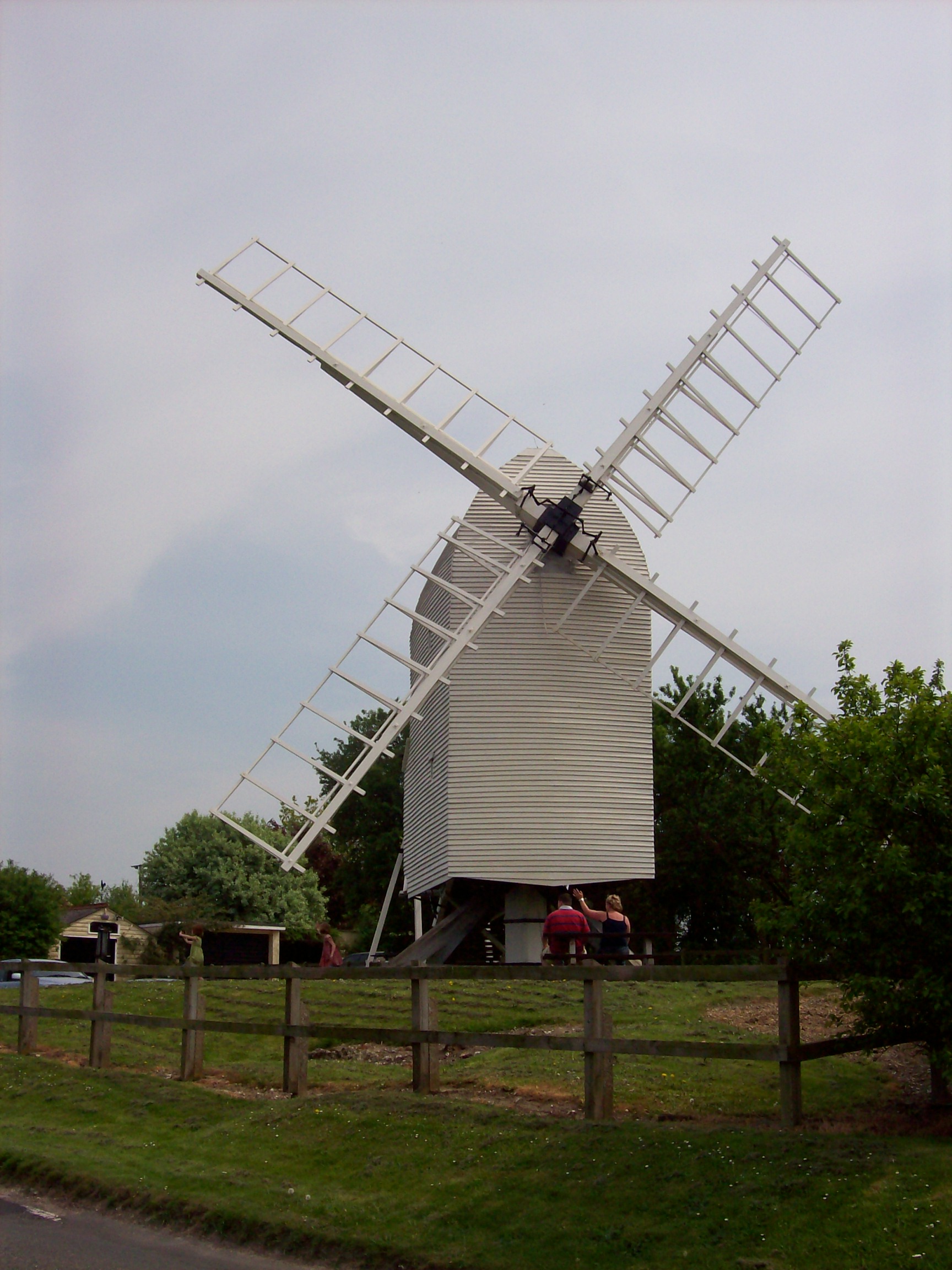
The Chishill post mill stands to the west of the village on the road to Barley. The first authentic record of a mill here appears in 1592. The first recorded owners were the Cooke family and the first recorded miller was Joseph Rule in 1677. Cambridgeshire County Council acquired the mill in the 1960s, after William Pegram stopped working it in 1951. It is now preserved and open to the public.
In 1886 (Kelly’s directory of Essex) the village was had bakers, butchers, wheelwrights, bricklayers, dressmakers, six farms in Gt. Chishill and one in Little Chishill, with their attendant labourers, two public houses — the White Horse and The Plough (now The Pheasant) — a shop and post office and the village school for a hundred children. All that has now gone — the shop closed in the late 1970s and the school on 2 April 1971. Great Chishill now has only St. Swithun’s Church, the United Reform Church, The Pheasant, a playing field and sports pavilion, and a village hall built in 1982. However, two farms are still being worked in Great Chishill and one in Little Chishill.
The 1991 Census for Great and Little Chishill parish recorded 237 dwellings and a population of 634.
The village's main claim to fame is an entry in the Guinness Book of Records when on 10 September 1983 Ben Palmer, a local farmer, and Owen North, the local baker, produced loaves of bread from the wheat in the field in 40 minutes 44 seconds.
References
- ^ Page from Kelly's Directory showing that in 1882 the village was in Essex.
- ^ OS Explorer Map 209 Cambridge, Royston, Duxford and Linton. ISBN 0 319 46389 3
Categories:- Villages in Cambridgeshire
- Hills of Cambridgeshire
- Civil parishes in Cambridgeshire

Wikimedia Foundation. 2010.