- Pec (Domažlice District)
Geobox | Settlement
name = Pec
other_name = Pec pod Čerchovem
category = Village
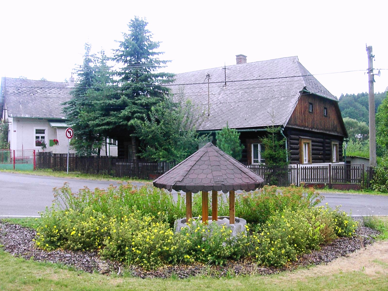
image_caption = Preserved wooden house in Pec
symbol =
etymology = furnace
official_name =
motto =
nickname =
country = Czech Republic
country_
state =
region = Plzeň
region_type = Region
district = Domažlice
district_type = District
commune = Domažlice
municipality =
part =
river =
location =
elevation = 507
lat_d = 49
lat_m = 23
lat_s = 54
lat_NS = N
long_d = 12
long_m = 49
long_s = 52
long_EW = E
highest =
highest_elevation =
highest_lat_d =
highest_long_d =
lowest =
lowest_elevation =
lowest_lat_d =
lowest_long_d =
area = 7.95
area_round = 1
population = 246
population_date = 2007-12-31
population_density = auto
established = 1652
established_type = Founded
mayor = Miroslav Schweiner
timezone =
map_background = Czechia - background map.png
map_locator = Czechia
commons = Pec
statistics = [http://www.statnisprava.cz/ebe/ciselniky.nsf/i/554090 statnisprava.cz]
website = [http://www.pec.jz.cz/ www.pec.jz.cz]
footnotes =Pec (IPA2|ˈpɛt͡s; _de. Hochofen) is a village and municipality in the
Plzeň Region of theCzech Republic , located about 8 km west-southwest fromDomažlice at foot of theČeský les mountains. The population as of 2007 was 246.History
The settlement is of relatively young origin, it evolved next to
ironworks withblast furnace founded around 1652.


Wikimedia Foundation. 2010.