- Moore-Murrell Airport
-
Moore-Murrell Airport 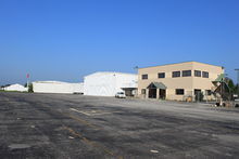
Hangars, temporary terminal & tarmac area IATA: MOR – ICAO: KMOR – FAA LID: MOR Summary Airport type Public Owner City of Morristown Serves Morristown, Tennessee Elevation AMSL 1,313 ft / 400 m Coordinates 36°10′46″N 083°22′32″W / 36.17944°N 83.37556°W Runways Direction Length Surface ft m 5/23 5,717 1,743 Asphalt Statistics (2009) Aircraft operations 46,000 Based aircraft 40 Source: Federal Aviation Administration[1] Moore-Murrell Airport (IATA: MOR, ICAO: KMOR, FAA LID: MOR) is a city-owned public-use airport located four nautical miles (7 km) southwest of the central business district of Morristown, a city in Hamblen County, Tennessee, United States.[1] It was opened in 1953. The manager of the airport is Evelyn Johnson.
This airport is included in the FAA's National Plan of Integrated Airport Systems for 2009–2013, which categorized it as a general aviation facility.[2]
Contents
Facilities and aircraft
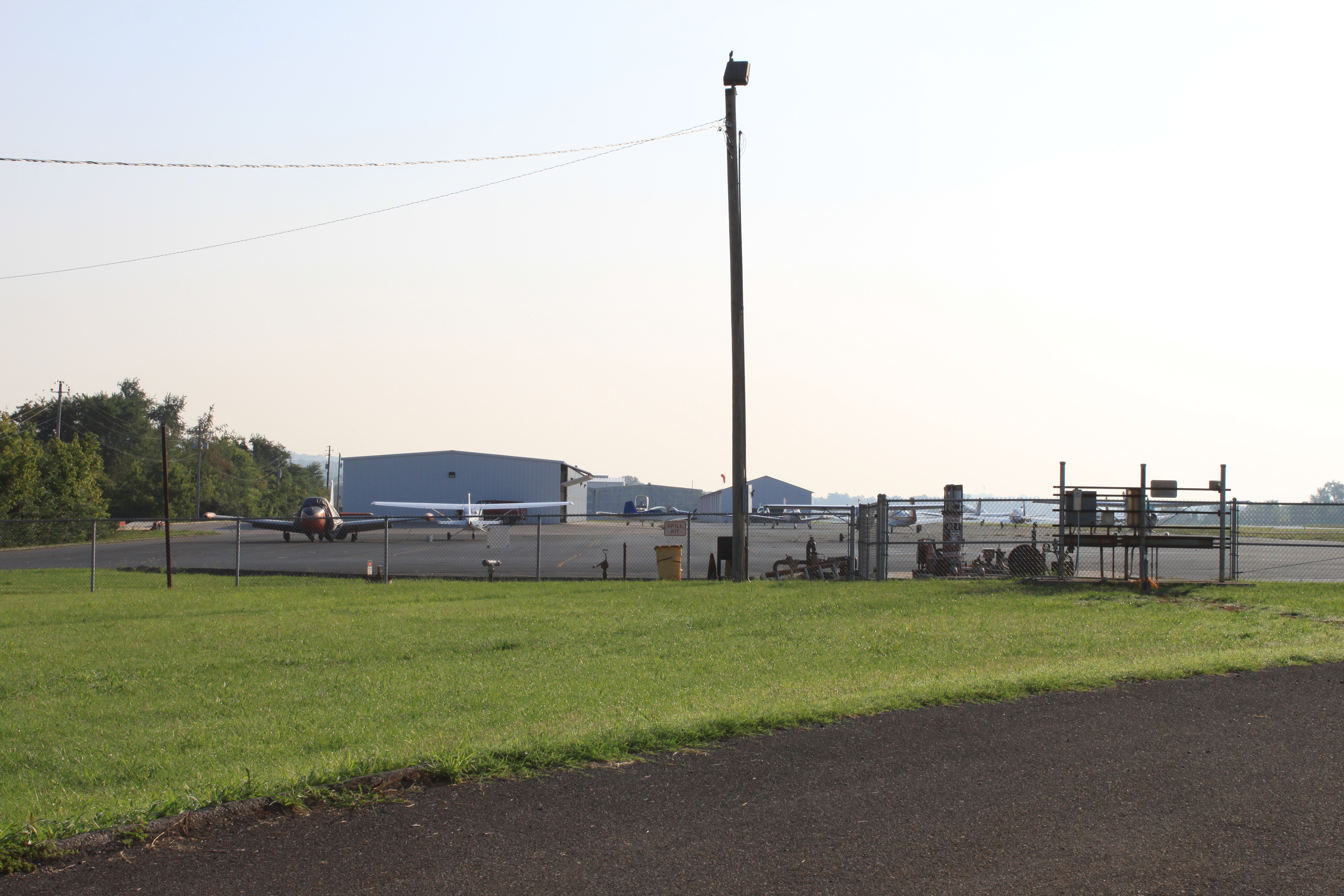
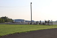 Planes on tarmac area
Moore-Murrell Airport covers an area of 160 acres (65 ha) at an elevation of 1,313 feet (400 m) above mean sea level. It has one runway designated 5/23 with an asphalt surface measuring 5,717 by 100 feet (1,743 x 30 m).[1]
For the 12-month period ending October 22, 2009, the airport had 46,000 aircraft operations, an average of 126 per day: 95% general aviation, 4% air taxi, and 1% military. At that time there were 40 aircraft based at this airport: 67.5% single-engine, 25% multi-engine, 5% jet and 2.5% helicopter.[1]
Construction
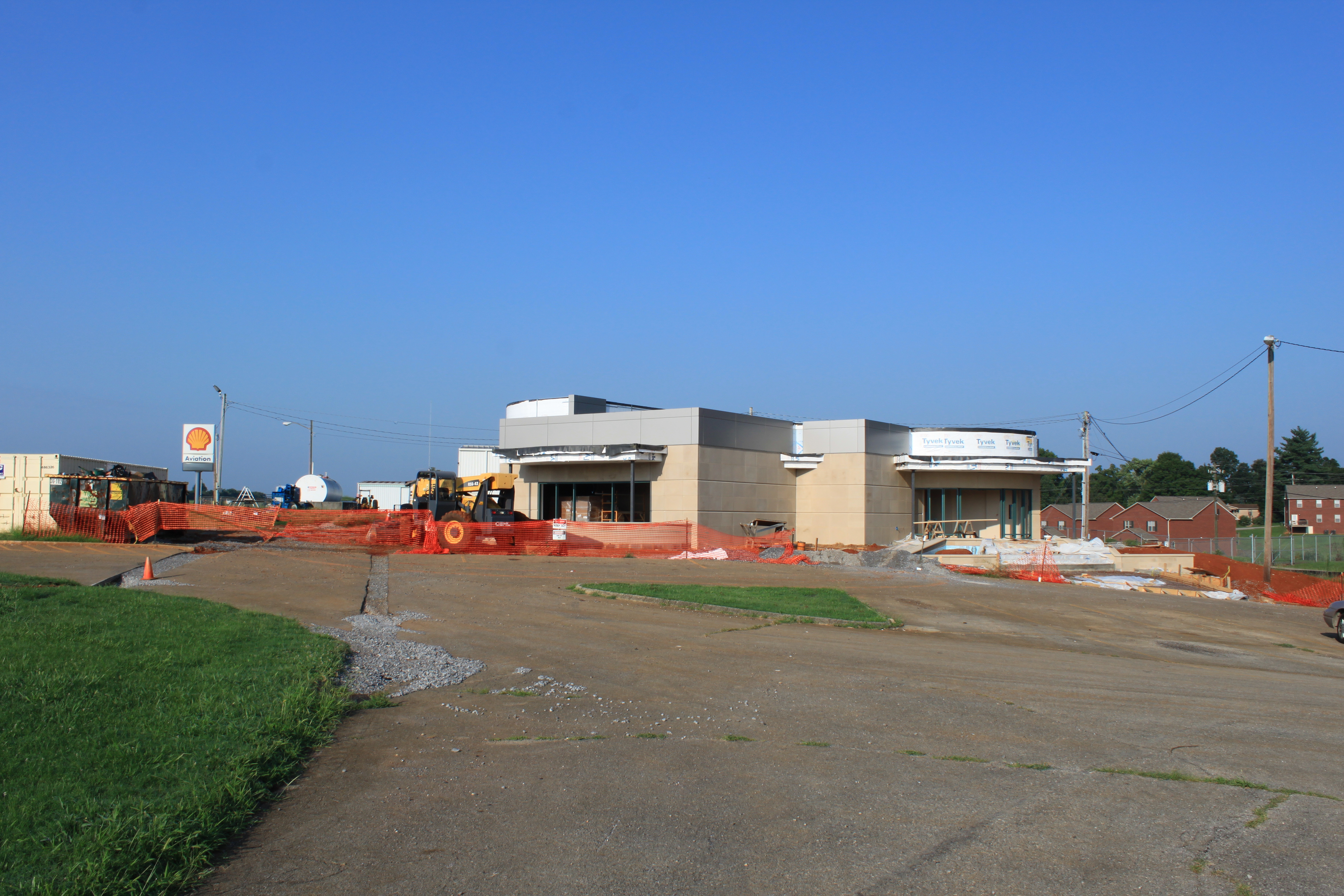
 New terminal under construction
The original airport terminal building, constructed in 1953, was demolished on April 28, 2009. Airport operations are currently run out of a temporary facility on the east end of the field. A new, more modern terminal is under construction on the site of the original facility. It is expected to open some time in 2010.
References
- ^ a b c d FAA Airport Master Record for MOR (Form 5010 PDF). Federal Aviation Administration. Effective 29 July 2010.
- ^ National Plan of Integrated Airport Systems for 2009–2013: Appendix A: Part 5 (PDF, 1.18 MB). Federal Aviation Administration. Updated 15 October 2008.
External links
- Moore-Murrell Airport (MOR) at Tennessee DOT Airport Directory
- Aerial image as of 7 March 1997 from USGS The National Map
- FAA Terminal Procedures for MOR, effective 20 October 2011
- Resources for this airport:
- AirNav airport information for MOR
- ASN accident history for MOR
- FlightAware airport information and live flight tracker
- SkyVector aeronautical chart for MOR
Categories:- Airports in Tennessee
- Buildings and structures in Hamblen County, Tennessee

Wikimedia Foundation. 2010.