- Gur Beck
Geobox|River
name =Gur Beck
native_name =
other_name =
category =
etymology =
nickname =
image_size =250
image_caption =
country =England
state = Norfolk
region = East of England
district = North Norfolk
municipality =
parent
tributary_left =
tributary_right =
city =
landmark =
river =
source =
source_location = Near the Village ofWest Beckham
source_region = East of England
source_country =England
source_elevation_imperial = 262
source_lat_d =
source_lat_m =
source_lat_s =
source_lat_NS =
source_long_d =
source_long_m =
source_long_s =
source_long_EW =
source1 =
source1_location =
source1_region =
source1_country =
source1_elevation_imperial =
source1_lat_d =
source1_lat_m =
source1_lat_s =
source1_lat_NS =
source1_long_d =
source1_long_m =
source1_long_s =
source1_long_EW =
source_confluence =
source_confluence_location =
source_confluence_region =
source_confluence_country =
source_confluence_elevation_imperial =
source_confluence_lat_d =
source_confluence_lat_m =
source_confluence_lat_s =
source_confluence_lat_NS =
source_confluence_long_d =
source_confluence_long_m =
source_confluence_long_s =
source_confluence_long_EW =
mouth = Merges with theScarrow Beck
mouth_location =
mouth_region =
mouth_country =
mouth_elevation_imperial =
mouth_lat_d =
mouth_lat_m =
mouth_lat_s =
mouth_lat_NS =
mouth_long_d =
mouth_long_m =
mouth_long_s =
mouth_long_EW =
length_imperial = 4.2
length_orientation =
width_imperial =
width_orientation =
depth_imperial =
volume_imperial =
warershed_imperial =
discharge_imperial =
discharge_max_imperial =
discharge_min_imperial =
Watermills_=Gresham
free_type =
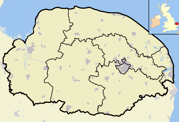
map_caption = Gur Beck Source within North Norfolk
map_background =
map_locator =
map_locator_x =64
map_locator_y =10
website =
footnotes =watermills
Gresham
Gur Beck is a minor
watercourse which rises in the north of the English county ofNorfolk [Ordnance Survey, Explorer Map, Norfolk Cost East, ISBN 0 319 23815 8] . It is atributary of theScarrow Beck . It's spring is a little east of theNorth Norfolk village ofWest Beckham . It eventually merges after 4.2 miles with theScarrow Beck atSustead . There is onewatermills on the beck. This can be found in the village ofGresham , But is no longer in working order.Gresham Watermill
Gresham Watermill was only a small mill and today all that remains is the mill house with the watercourse channel and a small part of the foundations lying to the west side of the mill house [ [http://www.norfolkmills.co.uk/Watermills/gresham.html] Gresham Watermill] . The site later became known as Old Watermill Farm and is in Lower Gresham. In
1819 the mill was powering 2 pairs of French burr stones, which were used to ground local wheat to produce flour.References
Wikimedia Foundation. 2010.