- Mount Inderbitzen
-
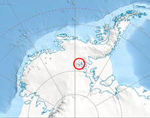 Location of Sentinel Range in Western Antarctica.
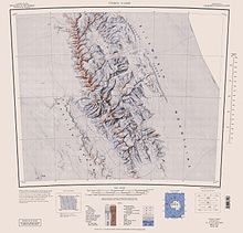 Sentinel Range map.
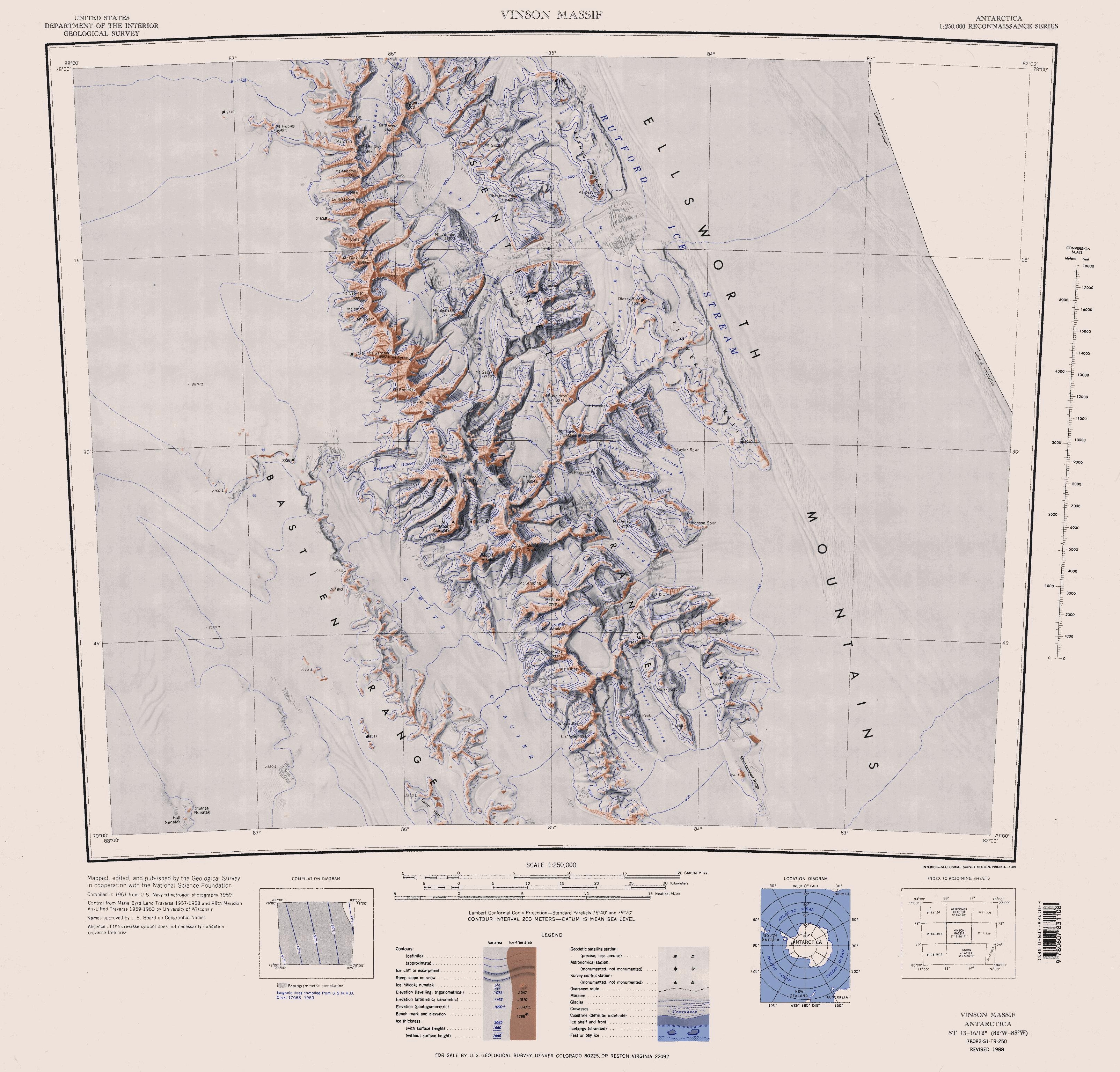
Mount Inderbitzen (78°49′S 84°47′W / 78.817°S 84.783°W) is a mountain (3,000 m) rising to over 2,600 m, located 12 mi south-southeast of Mount Craddock and 1.5 mi south of Mount Milton in the southern part of the Sentinel Range, Ellsworth Mountains in Antarctica. It surmounts Wessbecher Glacier to the southeast and Sirma Glacier to the northwest.
First mapped by USGS from surveys and USN aerial photographs, 1957-59. Named by US-ACAN in 1994 after Anton L. Inderbitzen, Associate Chief Scientist, Division of Polar Programs, NSF, 1983-86; Head, Antarctic Staff, NSF, 1986-91; Deputy Assistant Director for Research, USGS, from 1991. At NSF, Inderbitzen was responsible for the coordination and planning of all scientific activities within the USAP, and for the formulation and enforcement of U.S. environmental regulations in Antarctica.
Maps
- Vinson Massif. Scale 1:250 000 topographic map. Reston, Virginia: US Geological Survey, 1988.
References
 This article incorporates public domain material from the United States Geological Survey document "Mount Inderbitzen" (content from the Geographic Names Information System).
This Ellsworth Land location article is a stub. You can help Wikipedia by expanding it.