- Resafa
Infobox Settlement
official_name = Al Resafa
other_name =
native_name = الرصافة
nickname =
settlement_type =
motto =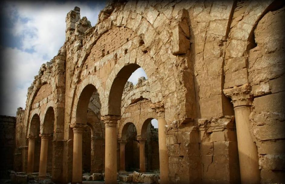
imagesize = 300px
image_caption = Arches in Resafa
flag_size =
image_
seal_size =
image_shield =
shield_size =
image_blank_emblem =
blank_emblem_type =
blank_emblem_size =
mapsize =
map_caption =
mapsize1 =
map_caption1 =
image_dot_
dot_mapsize =
dot_map_caption =
dot_x = |dot_y =
pushpin_
pushpin_label_position =bottom
pushpin_mapsize =300
pushpin_map_caption =Location in Syria
subdivision_type = Country
subdivision_name = Flag|Syria
subdivision_type1 = Governorate
subdivision_name1 =Ar-Raqqah Governorate
subdivision_type2 = District
subdivision_name2 =Ar-Raqqah District
subdivision_type3 =
subdivision_name3 =
subdivision_type4 =
subdivision_name4 =
government_footnotes =
area_magnitude =
unit_pref =Metric
population_as_of =
population_footnotes =
population_note =
population_total =
timezone =
utc_offset =
timezone_DST =
utc_offset_DST =
latd=35|latm=37|lats=|latNS=N
longd=38|longm=45|longs=|longEW=E
elevation_footnotes =
elevation_m = 300
elevation_ft =
postal_code_type =
postal_code =
area_code =
blank_name =
blank_info =
blank1_name =
blank1_info =
website =
footnotes =Resafa ( _ar. الرصافة), known in Roman times as Sergiopolis, was a city located in what is now modern-day
Syria . It is an archaeological site situated south-west of the city ofAr Raqqah and theEuphrates .History
The site dates back to the 9th century B.C, when a military camp was built by the
Assyria ns. During Roman times it was a desert outpost fortified to defend against theSassanid s. It flourished as its location on the caravan routes linkingAleppo ,Dura Europos , andPalmyra was ideal. Resafa had no spring or running water, so it depended on largecistern s to capture the winter and spring rains. Fortunately, the rainfall in the area was more than sufficient. Resafa was planted right in the path of the Persian-Byzantine wars, and was therefore a well-defended city that had massive walls that surrounded it without a break. It also had a fortress. The city is mentioned in the Bible (Isaiah 37:12) but little else is heard of it until the 4th century when it became a pilgrimage town for Christians coming to venerateSaint Sergius . Sergius was a Roman soldier who was persecuted for his Christian faith. Sergius was brought to Resafa for his execution, and there he became a martyr for the city. A church was built to mark his grave and the city was renamed Sergiopolis.

Wikimedia Foundation. 2010.