- Maine Island Trail
-
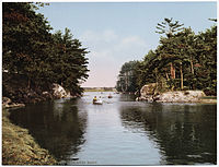 Kennebunk River, photochrome scenic postcard published by the Detroit Photographic Company, ca. 1897-1924.
The Maine Island Trail is a 375-mile-long waterway along the coast of Maine that connects approximately 190 islands and mainland sites available for day visits or overnight camping.[1] The trail is operated by the Maine Island Trail Association (MITA), a non-profit organization based in Portland, Maine with almost 3,800 members. Through partnerships with the State of Maine, as well as land trusts, non-profit organizations, and generous private property owners, MITA ensures access to these sites for visitors in kayaks, sailboats, motorboats, and other watercraft. In exchange for access, MITA members agree to visitation guidelines set by the island owners and provide a wide range of stewardship services including island monitoring and management by trained volunteers and 10 organized regional island cleanups each year.[citation needed] In this way, the Association removes several hundred bags of trash from the islands each year, the great majority of which has washed ashore.[citation needed]
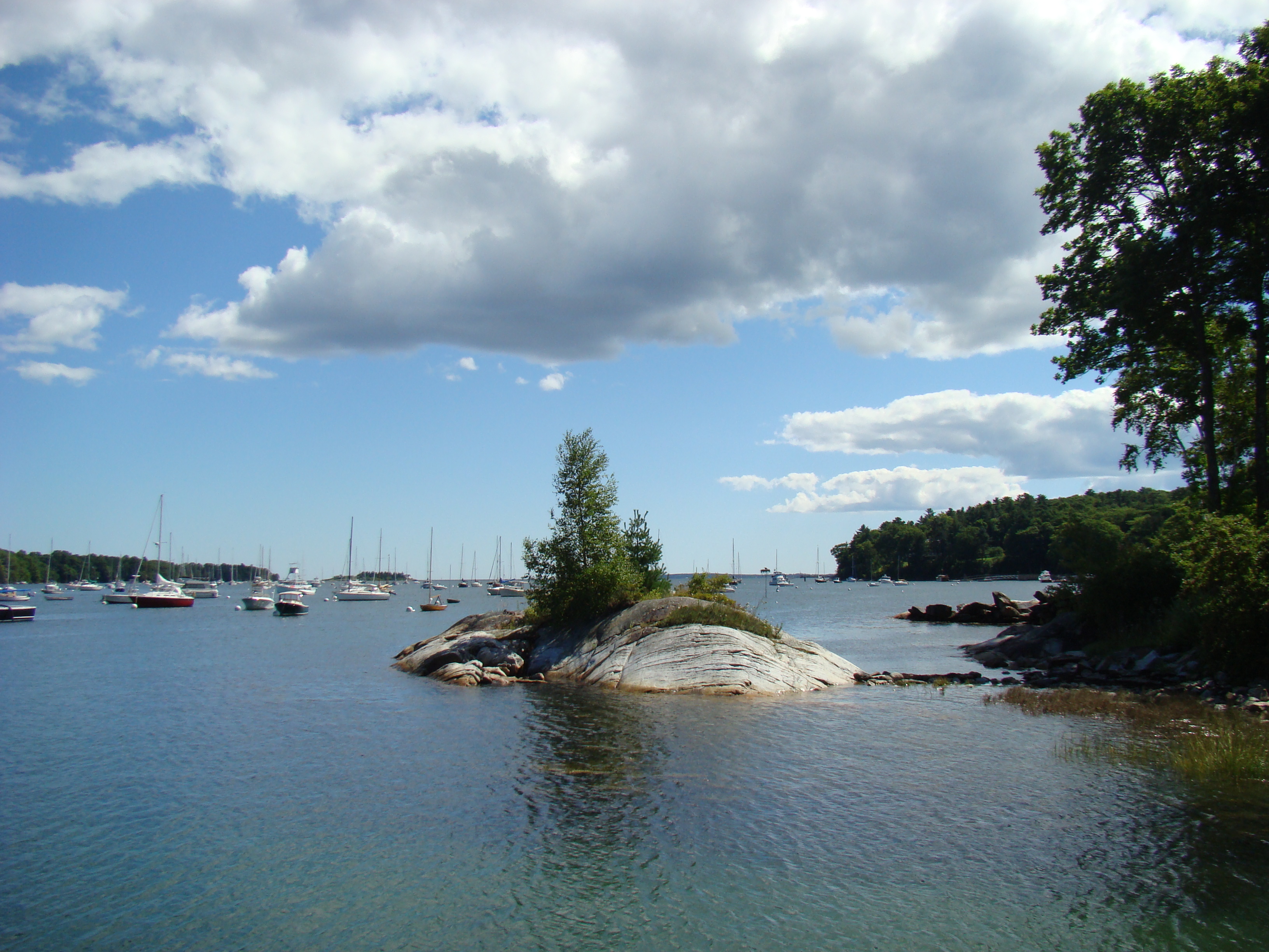
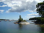 Tidal Island in Rockport Harbor
The annual MITA guidebook, distributed in the spring to MITA members, describes the location of each site on the trail. The trail guide is now online, with password access for MITA members.[2][3] The online guide offers content in real time including weather and tide information, as well as nautical charts, put-in and pump-out locales and regional histories.[4]
The trail was established in 1988 and has since been recognized as the first recreational water trail in North America. The trail begins at Maine's border with New Hampshire and ends in Machias, Maine, with an additional collection of ten islands in the Passamaquoddy/New Brunswick region of Canada. Travelers are generally encouraged to explore the trail by region, with careful consideration of their navigational expertise, watercraft, and seamanship.
External links
References
- ^ Robichaux, Stephanie, Best Family Trips--Maine Island Trail National Geographic Travel
- ^ Maine Island Trail Association Launches Online Guide to the Maine Island Trail Venerable Publication Goes Digital After 22 Years Maine Business.com Sept. 6, 2010.
- ^ Richardson, Tom, Island Trail Launches Online Guide Boating Local.com, Sept. 10. 2010
- ^ Real-time, interactive site guides you on island trails Portland Press Herald, Oct. 19, 2010
Categories:- Environment of Maine
- Water trails
- Islands of Maine
- Maine geography stubs

Wikimedia Foundation. 2010.