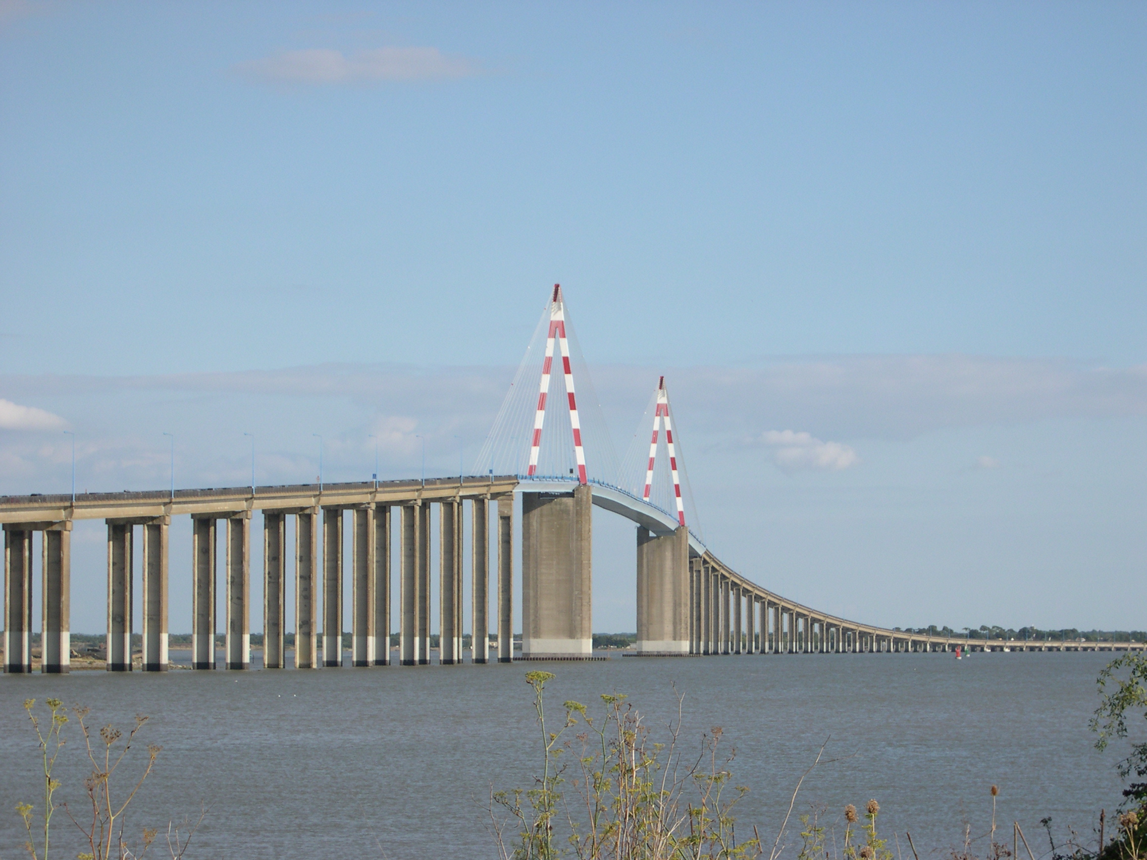
- Saint-Nazaire Bridge
Infobox_Bridge
bridge_name=Saint-Nazaire Bridge
caption=
official_name=Pont de Saint-Nazaire
carries=Cars, pedestrians and cycles
crosses=Loire river
locale=Saint-Nazaire
maint=Conseil général de la Loire-Atlantique
id=
design=Cable-stayed bridge
mainspan=404 m
length=3,356 m
width=
clearance=
below=
traffic=
open=1975 (built in 1974)
closed=
toll=free
map_cue=
map_
map_text=
map_width=
coordinates=coord|47.278603|N|2.165881|W|The Saint-Nazairebridge (French: "Le pont de Saint-Nazaire") is aCable-stayed bridge spanning theLoire river and linkingSaint-Nazaire on the north bank andSaint-Brevin-Les-Pins on the south bank, in the department ofLoire-Atlantique ,France .External links
* [http://en.structurae.de/structures/data/index.cfm?ID=s0000046 structurae website]
Wikimedia Foundation. 2010.
