- Koré Maïroua
Infobox Settlement
official_name = Koré Maïroua
other_name =Koremairwa
native_name =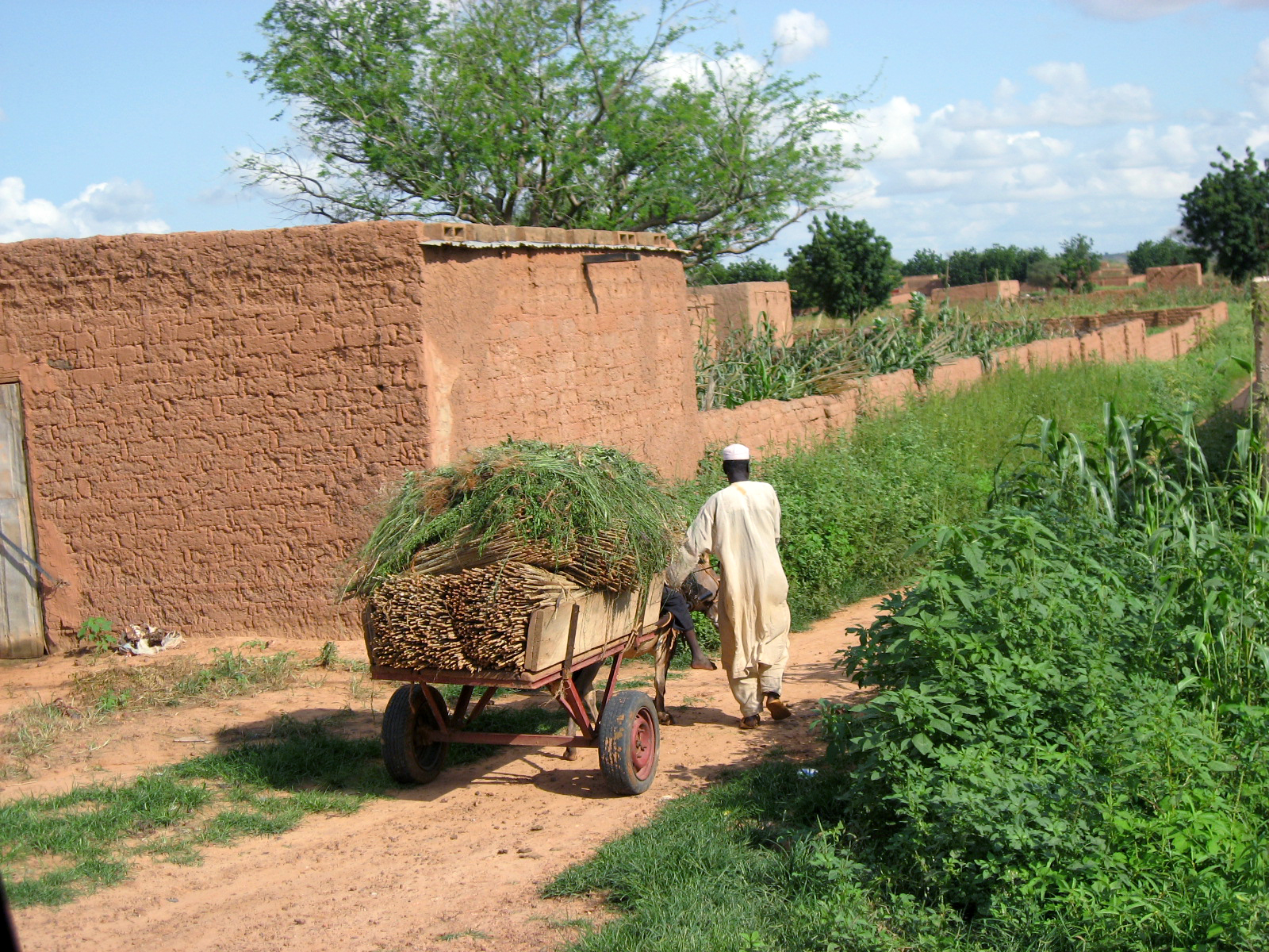
imagesize = 300px
image_caption = A farmer collectingmillet in Koremairwa village
image_
map_caption =
pushpin_
pushpin_label_position =bottom
pushpin_mapsize = 300
pushpin_map_caption =Location in Niger
subdivision_type = Country
subdivision_name =
subdivision_type1 = Department
subdivision_name1 = Dosso department
subdivision_type2 = District
subdivision_name2 = Doutchi District
established_title =
established_date =
government_type =
leader_title =
leader_name =
area_magnitude =
area_total_sq_mi =
area_total_km2 =
area_land_sq_mi =
area_land_km2 =
area_urban_sq_mi =
area_urban_km2 =
area_metro_km2 =
area_metro_sq_mi =
population_as_of=
population_footnotes =
population_total =
population_urban =
population_metro =
population_density_sq_mi =
population_density_km2 =
timezone =
utc_offset =
timezone_DST =
utc_offset_DST =
latd=13|latm=17|lats=59|latNS=N
longd=3|longm=54|longs=24|longEW=E
elevation_footnotes=
elevation_m = 229
elevation_ft =
postal_code_type =
postal_code =
area_code =
website =
footnotes =Koré Maïroua often spelled Koremairwa is a
village in south-westernNiger . It is the located in Doutchi District in theDosso (department) approximately 65 kilometres north-east of Dosso.The village is primarily agricultural based;
millet farming contributes much to the local economy.Nearby towns and villages include
Koukoki (2.5 nm),Galozi (1.1 nm),Rizia Mayaki (3.6 nm),Banizoumbou (2.0 nm) andAngoa Dambane (3.0 nm).External links
* [http://www.maplandia.com/niger/dosso/doutchi/kore-mairoua/ Satellite map at Maplandia.com]
* [http://encarta.msn.com/encnet/features/mapcenter/map.aspx?TextLatitude=15.4165155982842&TextLongitude=37.6003484752711&TextAltitude=7&TextSelectedEntity=9397806&MapStyle=Comprehensive&MapSize=Large&MapStyleSelectedIndex=0&searchText]

Wikimedia Foundation. 2010.