- Miarinarivo, Andilamena
-
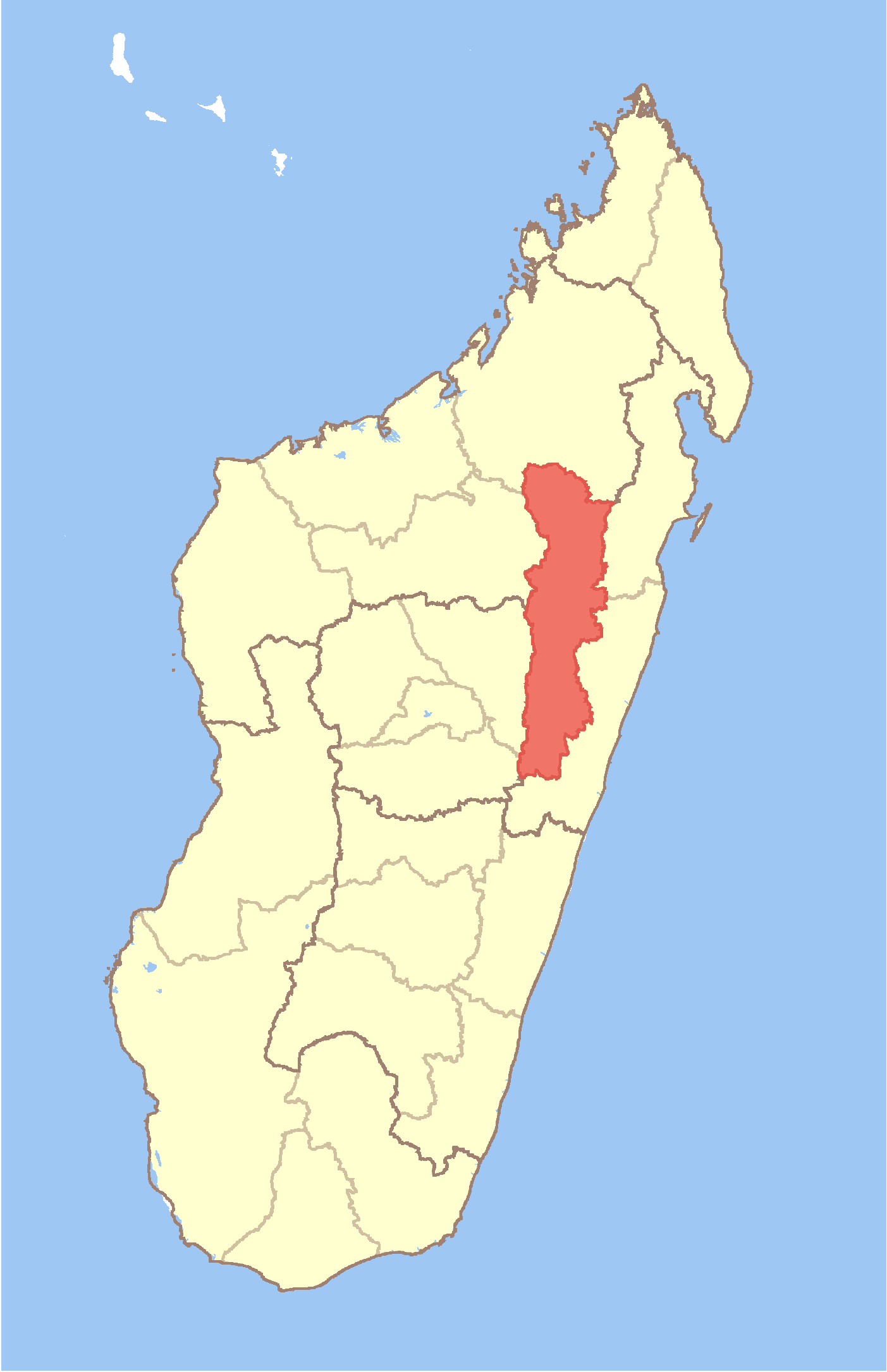
Miarinarivo Location in Madagascar
 Miarinarivo
Coordinates: 16°37′S 48°15′E / 16.617°S 48.25°E Country  Madagascar
Region Alaotra-Mangoro District Andilamena Elevation[1] 552 m (1,811 ft) Population (2001)[2] - Total 14,000 Time zone EAT (UTC3) For other places with the same name, see Miarinarivo (disambiguation).Miarinarivo is a town and commune (Malagasy: kaominina) in Madagascar. It belongs to the district of Andilamena, which is a part of Alaotra-Mangoro Region. The population of the commune was estimated to be approximately 14,000 in 2001 commune census.[2]
Primary and junior level secondary education are available in town. Farming and raising livestock provides employment for 20% and 75% of the working population. The most important crop is rice, while other important products are peanuts, cassava and sweet potatos. Services provide employment for 5% of the population.[2]
References and notes
- ^ Estimated based on DEM data from Shuttle Radar Topography Mission
- ^ a b c "ILO census data". Cornell University. 2002. http://www.ilo.cornell.edu/ilo/data.html. Retrieved 2008-03-06.
Coordinates: 16°37′S 48°15′E / 16.617°S 48.25°E

This Alaotra-Mangoro location article is a stub. You can help Wikipedia by expanding it.