- Ka Lae
Infobox nrhp2
name = South Point Complex
nhl = yes
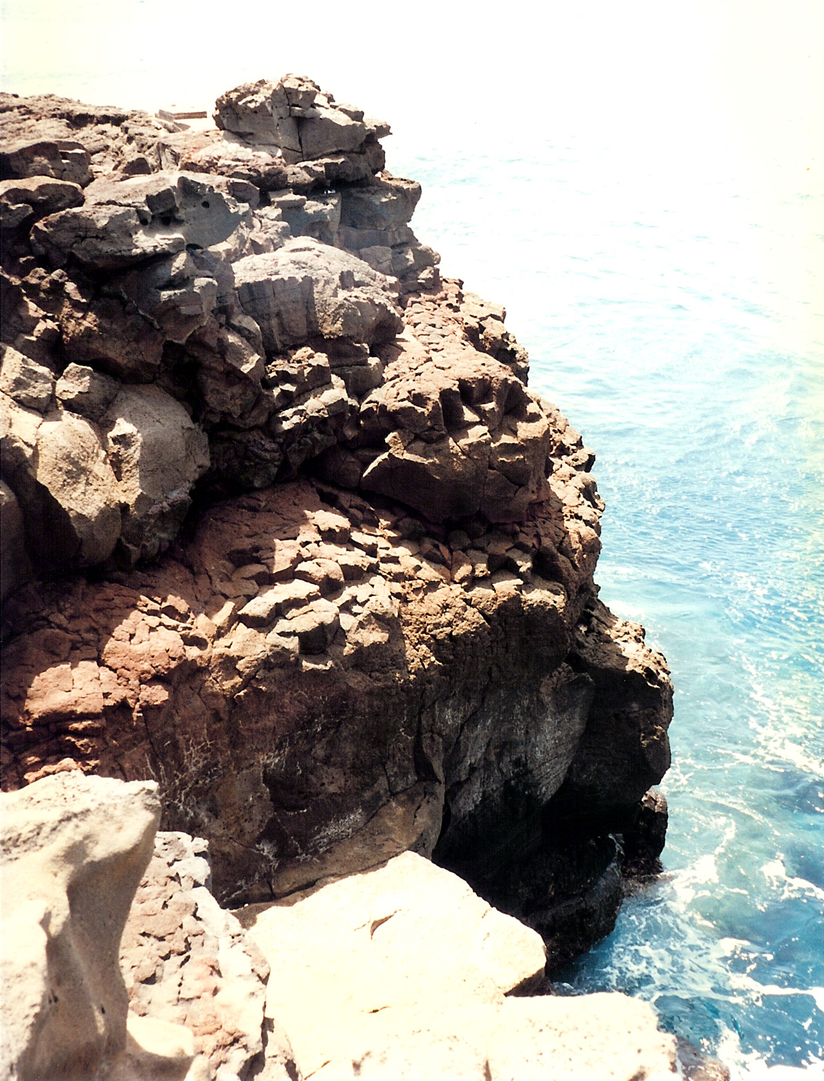
caption = Rocky cliffs of Ka Lae
location = Big Island of Hawaii
nearest_city = Nā'ālehu
lat_degrees = 18
lat_minutes = 54
lat_seconds = 57
lat_direction = N
long_degrees = 155
long_minutes = 40
long_seconds = 35
long_direction = W
locmapin = Hawaii
area =
built =
architect =
architecture =
added =October 15 1966
designated_nhl =December 29 ,1962 cite web|url=http://tps.cr.nps.gov/nhl/detail.cfm?ResourceId=182&ResourceType=District
title=South Point Comples|accessdate=2008-07-04|work=National Historic Landmark summary listing|publisher=National Park Service]
refnum = 66000291cite web|url=http://www.nr.nps.gov/|title=National Register Information System|date=2008-04-15|work=National Register of Historic Places|publisher=National Park Service]
governing_body = United States GovernmentKa Lae ("the point" in Hawaiian), also known as South Point, is the southernmost point on the island of Hawaiokinai and in the state of
Hawaii . It is the southernmost point of the 50 United States. The Ka Lae area is registered as a National Historic Landmark District under the name South Point Complex.A confluence of
ocean current s just offshore makes this spot one of Hawaii's most popularfishing spots. Both red snapper and ulua are plentiful here. Locals fish from the cliffs, some dangling perilously over the edge of steeplava ledges. Swimming here, however, is not recommended, due to the current. In fact, it is called the "Halaea Current", named after a chief who was carried off to his death.cite web | url=http://www.coffeetimes.com/kau.htm | title=Kaokinau | publisher=Coffee Times]The confluence of currents also means the area is prone to accumulation of
marine debris . Most of this coastline is very remote and difficult to access, and is probably the most debris-littered coast in the state, primarily due to its difficult access for debris removal. This debris poses an entanglement threat to wildlife and may refloat during storms. The shoreline is used byHawaiian Monk Seal s and hatchlingHawksbill turtle s, bothendangered species . Efforts to clean the coastline are organized by theHawaii Wildlife Fund in conjunction with the NOAA. [cite web | url=http://marinedebris.noaa.gov/about/waiohinu_removal.html | title=Marine Debris Removal from the Waiohinu-Ka Lae Coast Hawaii Island | date=September 18, 2006 | work=Marine Debris Program | publisher=NOAA]outh Point archaeological site
Ka Lae is the site of one of the earliest Hawaiian settlements has one of the longest archaeological records on the islands. [ [http://www.nr.nps.gov/writeups/66000291.nl.pdf NHL Summary] ] It is speculated that this is where the
Polynesia ns first landed because the Big Island is the closest of theHawaiian Islands toTahiti , and Ka Lae would be the first landfall. [cite web | url=http://www.virtualtourist.com/travel/North_America/United_States_of_America/Hawaii_State_of/Hawaii_Big_Island/Kailua_Kona-772371/Off_the_Beaten_Path-Kailua_Kona-Ka_Lae_Kau-BR-1.html | title=Ka Lae, Ka'u, Kailua-Kona | work=Kailua-Kona Travel Guide | publisher=Virtual Tourist | date=October 5, 2002] Ruins of a "heiau " and a fishing shrine can be found here. In addition, ancient Hawaiians drilled numerous holes in the rock ledges to use for mooring their canoes. Tying long ropes to their boats, they would drift out to sea to fish without fear of being carried away by the strong currents. [cite book | title=Hawaii | first=Glenda | last=Bendure | coauthors=Friary, Ned | edition=4th ed. | month=September | year=1997 | chapter=Hawaii — The Big Island | pages=327–28 | publisher=Lonely Planet | location=Australia | id=ISBN 0-86442-489-2] Evidence suggests that people have been in the area since A.D. 124 It was excavated by the Bishop Museum. [ [http://www.nr.nps.gov/Red%20Books/66000291.red.pdf NPS Red Book] ]Geography
The area is also known for its strong winds and is the home of a
wind farm . Some trees are almost horizontal with their branches all growing in the same direction near the ground.Ka Lae is accessible via South Point Rd., a 20-mile (32 km)
tarmac road leading from State Highway 11, the turn off being about 7 miles (11 km) west of the village of Nā'ālehu. The Kamaoa and Pakini Nui Wind Farms are located alongside the road, as well as the largeshortwave radio antennas ofKWHR and a 13-meterparabolic antenna of theUniversal Space Network . A fork is at the end of the tarmac road, with one dirt road leading to Ka Lae and the other toGreen Sands Beach .Wind farms
The Kamaoa Wind Farm consisted of thirty-seven Mitsubishi 250 kW
wind turbine s with an operationally typical total peak output of 7.5 MW.As of 2006 the turbines were falling into disrepair, and they were finally shut down onAugust 15 2006 . At the end of August 2006, components for a new set of wind turbines were transported to South Point - the Pakini Nui project consists of 14 General Electric wind turbines constructed about 1.5 miles (2.4 km) from the old Kamaoa wind farm. Completed in April 2007, Pakini Nui supplies up to 20.5 MW of power to the islandelectricity grid . At late 2006 levels, this would be about 6.5% of the total 300 MW Big Island electricity supply.fact|date=July 2008References
External links
* [http://pahoahi.tripod.com/kona/kalae.htm Pictures of Ka Lae]
* [http://www.thelighthousepeople.com/hawaii/South_Point_Lighthouse.html Pictures of the Ka Lae Light]
* [http://www.hawaii.gov/dbedt/ert/southpt.html Kamaoa Wind Farm]
* [http://www.fcc.gov/ib/sand/neg/hf_web/xkwhr11.txt KHWR station record]
* [http://www.uspacenetwork.com/ Universal Space Network]
* [http://hawaii.gov/dbedt/ert/wwg/history.html History of Wind Energy Projects in Hawaii]
* [http://www.hawaiidrive-o.com/ka-lae.html The Drive to South Point (Ka Lae)]
* [http://www.awea.org/projects/hawaii.html American Wind Energy Association, Hawaii projects]
Wikimedia Foundation. 2010.