- Upper Mount Bethel Township, Pennsylvania
Geobox Township
name = Upper Mount Bethel Township
native_name =
other_name =
other_name1 =
category =
image_size =
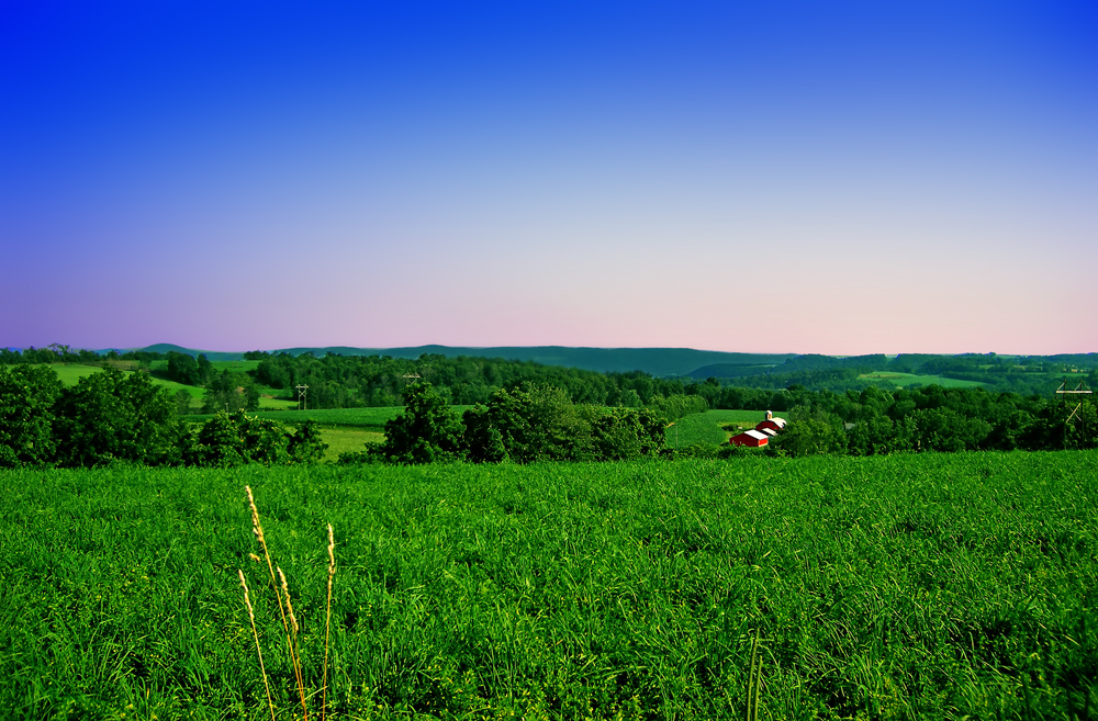
image_caption = Rolling hills
flag_size =
symbol =
symbol_size =
country = United States
state = Pennsylvania
region = Northampton
region_type = County
district =
area_imperial = 44.3
area_land_imperial = 43.4
area_water_imperial = 0.9
area_water_percentage = auto
area_percentage_round = 2
area_round = 1
location =
lat_d = 40
lat_m = 52
lat_s = 00
lat_NS = N
long_d = 75
long_m = 07
long_s = 59
long_EW = W
elevation_imperial = 699
elevation_round = 1
population_as_of = 2000
population = 6063
population_density_imperial = 139.7
population_density_round = 1
established_type =
established =
mayor =
timezone = EST
utc_offset = -5
timezone_DST = EDT
utc_offset_DST = -4
postal_code =
postal_code_type =
area_code = 570, 610
area_code_type =
code2_type =
code2 =
free_type =
free =
free1_type =
free1 =

map_caption = Location of Upper Mount Bethel Township in Northampton County
map1 = Pennsylvania Locator Map.png
map1_locator = Pennsylvania
map2 = Map of USA PA.svg
map2_caption = Location of Pennsylvania in the United States
website = http://www.uppermtbethel.orgUpper Mount Bethel Township is a township in Northampton County,
Pennsylvania ,United States . Upper Mount Bethel Township is located in theLehigh Valley region of the state. It is part of Pennsylvania'sSlate Belt [http://www.slatebeltchamber.org/aboutsbcc.htm] .The population of Upper Mount Bethel Township was 6,063 at the 2000 census.
Geography
According to the
United States Census Bureau , the township has a total area of 44.3square mile s (114.7km² ).43.4 square miles (112.4 km²) of it is land and 0.9 square miles (2.3 km²) of it (2.01%) is water.Demographics
As of the
census GR|2 of 2000, there were 6,063 people, 2,363 households, and 1,732 families residing in the township. Thepopulation density was 139.7 people per square mile (54.0/km²). There were 2,574 housing units at an average density of 59.3/sq mi (22.9/km²). The racial makeup of the township was 97.89% White, 0.69% African American, 0.13% Native American, 0.49% Asian, 0.21% from other races, and 0.58% from two or more races. Hispanic or Latino of any race were 1.39% of the population.There were 2,363 households out of which 28.8% had children under the age of 18 living with them, 63.4% were married couples living together, 6.1% had a female householder with no husband present, and 26.7% were non-families. 21.7% of all households were made up of individuals and 8.9% had someone living alone who was 65 years of age or older. The average household size was 2.56 and the average family size was 2.96.
In the township the population was spread out with 22.8% under the age of 18, 6.2% from 18 to 24, 28.3% from 25 to 44, 26.8% from 45 to 64, and 15.9% who were 65 years of age or older. The median age was 41 years. For every 100 females there were 100.8 males. For every 100 females age 18 and over, there were 100.6 males.
The median income for a household in the township was $45,617, and the median income for a family was $54,692. Males had a median income of $38,914 versus $23,906 for females. The
per capita income for the township was $21,116. About 4.6% of families and 6.3% of the population were below thepoverty line , including 3.3% of those under age 18 and 15.7% of those age 65 or over.Public education
The Township is served by the Bangor Area School District and is the home to
Bangor Area High School .References
External links
* [http://www.uppermtbethel.org/ Upper Mount Bethel Township]
Wikimedia Foundation. 2010.