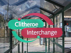
- Clitheroe Interchange
-
Clitheroe Interchange 
Location Locale Railway View Road, Clitheroe Local authority Ribble Valley Coordinates 53°52′27″N 2°23′35″W / 53.8741°N 2.3931°WCoordinates: 53°52′27″N 2°23′35″W / 53.8741°N 2.3931°W Operation Opened 2000 Managed by Lancashire County Council Operators Transdev Lancashire United, Transdev Burnley & Pendle, Tyrer Bus, Travel For All, M&M Coaches and Holmeswood Coaches. Travel centre Yes Rail connection Clitheroe  adjacent
Clitheroe Interchange is the main transport interchange in the market town of Clitheroe and the Ribble Valley district in Lancashire, England. It consists of several bus stops, Clitheroe railway station and a coach parking space. It is operated and maintained by Lancashire County Council. All trains are run by Northern Rail.
Contents
Location
The interchange is located in the southern half of Clitheroe, near the town centre. It is near the platform gallery, Maxwell's restaurant, Dawsons department store, the Inn at the Station and Booths supermarket.
Bus services
Bus Services are operated by:
Transdev Lancashire United, Transdev Burnley & Pendle, Tyrer Bus, M&M Coaches & Holmeswood Coaches
Services Operated By Transdev Lancashire United:- Route 225 .... Clitheroe - Whalley - Blackburn - Darwen - Bolton
- Ribble Valley Express 280 .... Skipton - Barnoldswick - Clitheroe - Whalley - Mellor - Preston
- Ribble Valley Express X80 .... Skipton - West Marton - Clitheroe - Whalley - Mellor - Preston
- Route 231 .... Clitheroe - Whalley - Great Harwood - Accrington (Saturday Only)
Routes Run by Other Operators:
- The Mainline 21, 22, 23, 26, 27, 28 & 29 .... Clitheroe - Whalley - Padiham - Burnley - Nelson - Colne (Transdev Burnley & Pendle)
- Route 231 .... Clitheroe - Whalley - Great Harwood - Accrington (Mon - Fri) (M&M Coaches)
- Route 241 .... Clitheroe - Whalley - Great Harwood - Rishton - Clayton-le-Moors - Accrington - Oswaldtwistle - Royal Blackburn Hospital (Not Sunday)(Holmeswood Coaches)
- Bowland Transit B10/B11 .... Clitheroe - Slaidburn circulars (Tyrer Bus)
- Bowland Transit B12 .... Clitheroe - Chipping - Garstang
- Pendle Witch Hopper 71/72, P70/P71
- Route 71 Nelson - Barroford - Newchurch - Barley - Downham - Chatburn - West Bradford - Waddington - Clitheroe (Sunday only. Continues back to Nelson as Service 72)
- Route 72 Clitheroe - Pendleton - Sabden - Burnley - Nelson (Transdev Burnley & Pendle)
- Routes P70/P71 .... Nelson - Blacko - Barley - Downham - Chatburn - Clitheroe (Mon-Sat) (Tyrer Bus)
- Route 5 .... Longridge - Ribchester - Clitheroe (Holmeswood Coaches)
- Route C1 .... Low Moor - Clitheroe - Peel Park (Tyrer Bus/ Holmeswood Coaches)
- Route C2 .... Clitheroe - Low Moor - Chatburn - Sawley - Grindelton (Holmeswood Coaches)
- Route C4 .... Clitheroe - Peel Park (Mon - Sat Circular) (Holmeswood Coaches)
- Route C5/C15 .... Clitheroe - West Bradford & Waddington Circulars(Holmeswood Coaches)
- Route C25 .... Clitheroe - Whalley - Brockhall - Copster Green - Blackburn (Mon - Sat) (Holmeswood Coaches)
Other information
The interchange has its own tourist information and ticket office.[1] The building has been extended many times over its lifetime. It is staffed regularly, even on Sundays.[2]
Awards
The interchange has had many awards during its lifespan. It has received:
- The bus country awards, first for infrastructure and second for bus in the countryside
- National Rail awards, first for integrated transport
- Royal Town Planning Institute, first for rural integrated transport project
Gallery
-
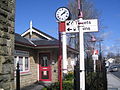
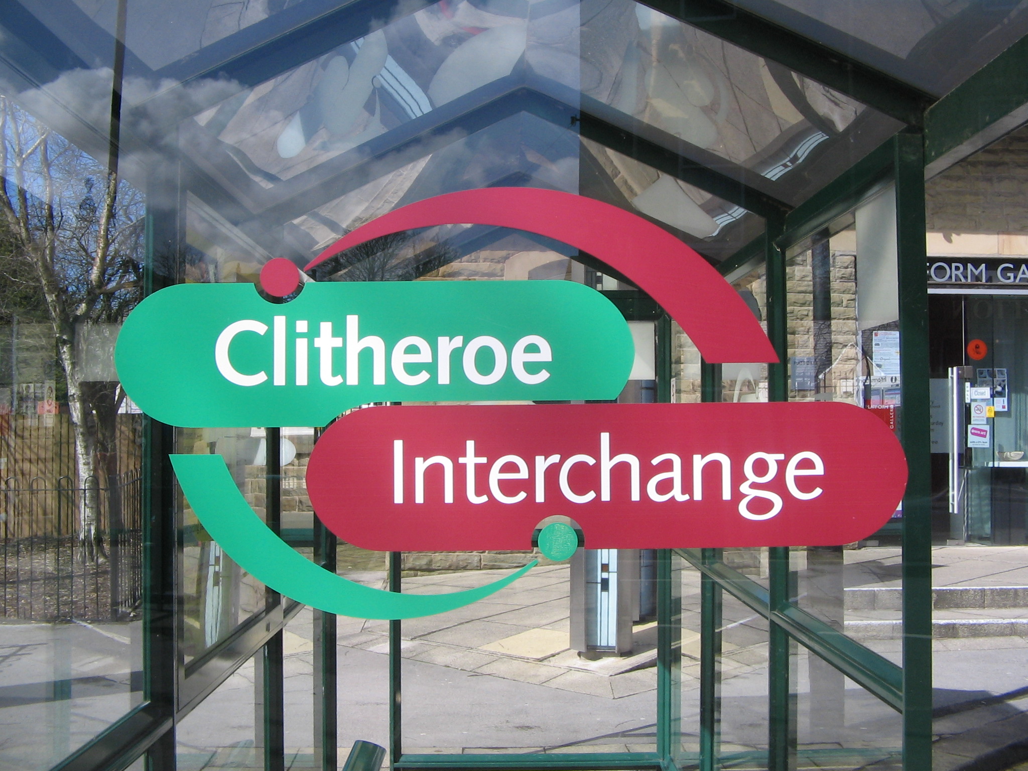
The ticket information office at Clitheroe Interchange.
-

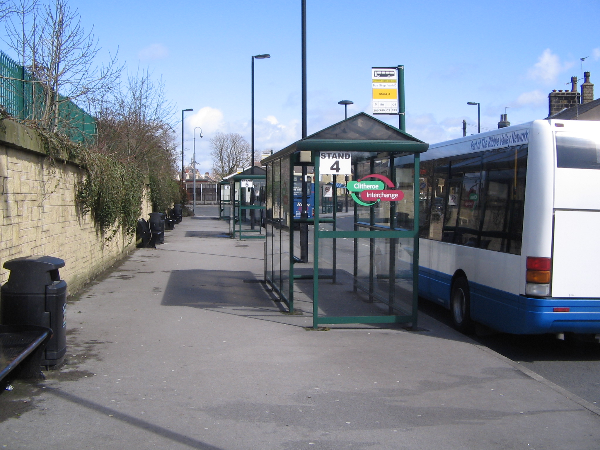
The bus stands at Clitheroe Interchange.
-
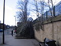
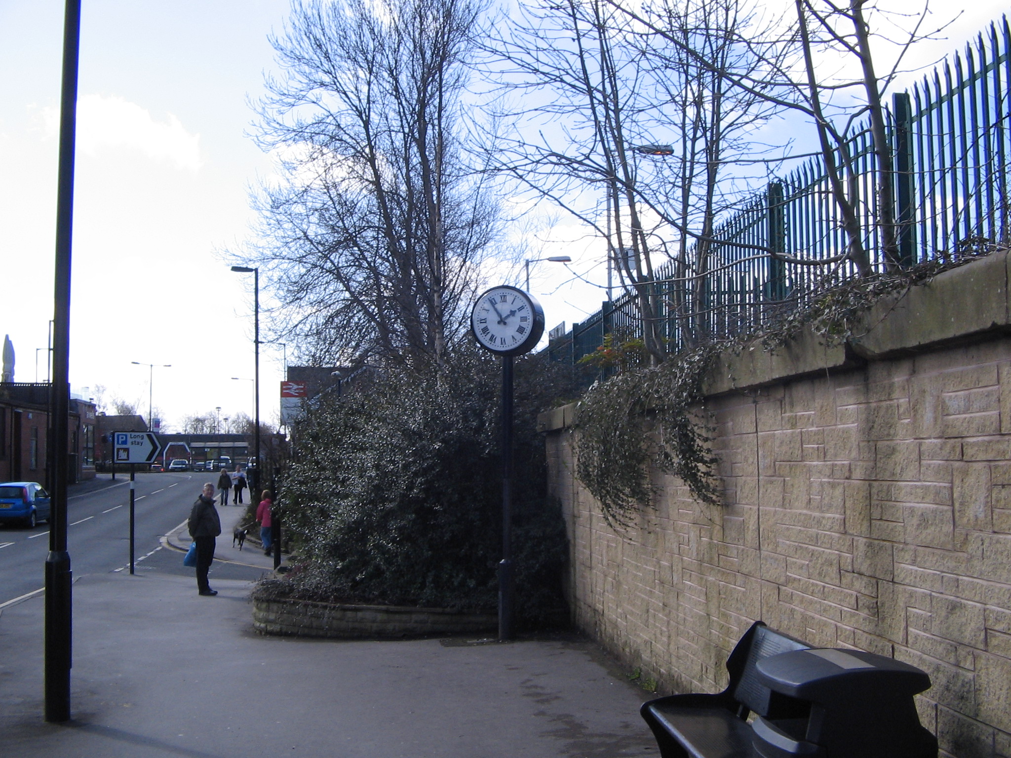
The view looking towards Clitheroe railway station.
-
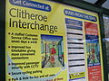
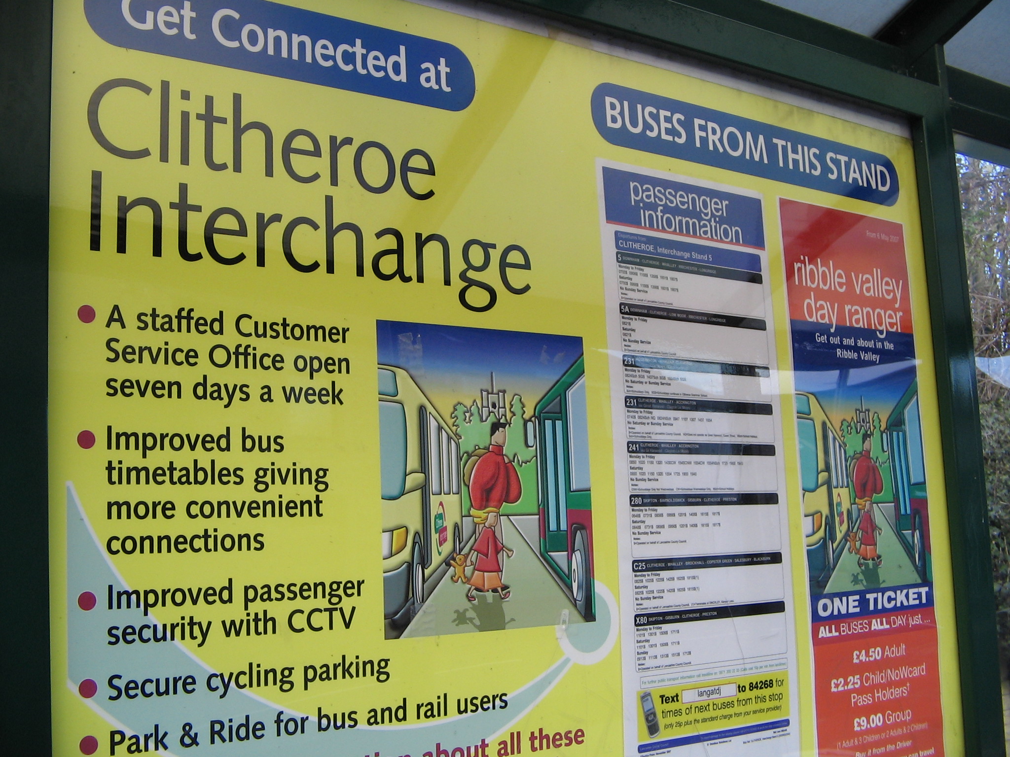
The information given inside bus stops.
References
External links
- Aerial View of Clitheroe Interchange from Google Maps
Categories:- Clitheroe
- Bus stations in Lancashire
- Buildings and structures in Ribble Valley

Wikimedia Foundation. 2010.