- Bald Eagle Township, Pennsylvania
Infobox Settlement
official_name = Bald Eagle Township,
Pennsylvania
other_name =
native_name =
nickname =
settlement_type = Township
motto =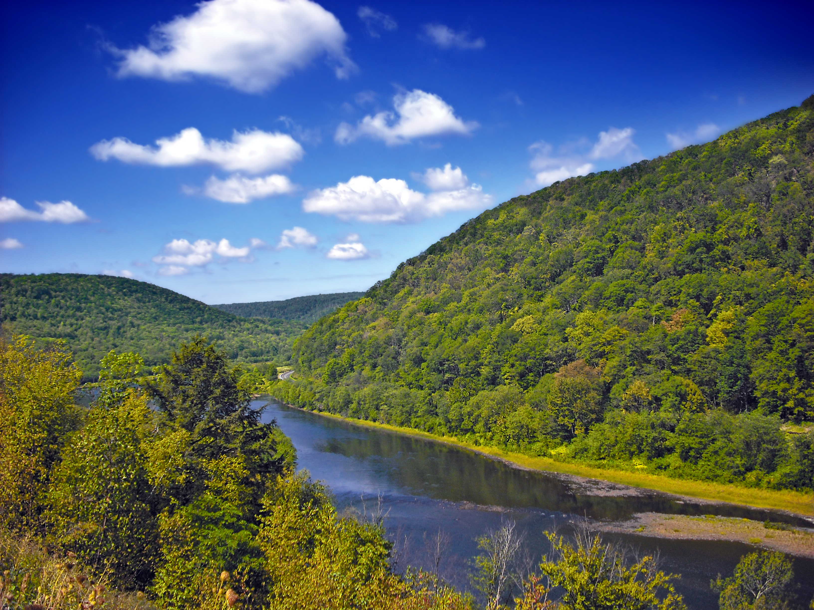
imagesize =
image_caption =West Branch Susquehanna River
flag_size =
image_
seal_size =
image_shield =
shield_size =
city_logo =
citylogo_size =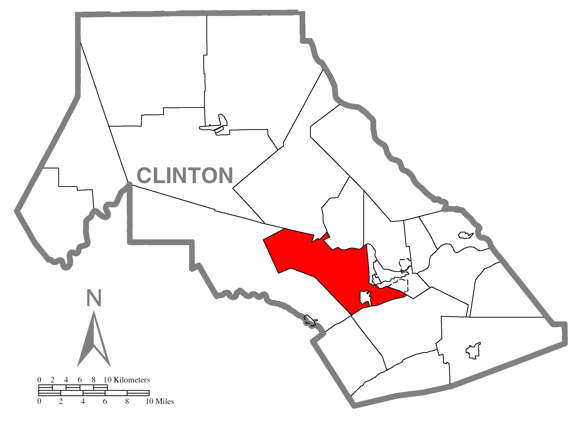
mapsize = 250x200px
map_caption = Map of Clinton County, Pennsylvania highlighting Bald Eagle Township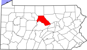
mapsize1 = 250x200px
map_caption1 = Map of Clinton County, Pennsylvania
subdivision_type = Country
subdivision_name =United States
subdivision_type1 = State
subdivision_name1 =Pennsylvania
subdivision_type2 = County
subdivision_name2 = Clinton
subdivision_type3 =
subdivision_name3 =
subdivision_type4 =
subdivision_name4 =
government_footnotes =
government_type =
leader_title =
leader_name =
leader_title1 =
leader_name1 =
leader_title2 =
leader_name2 =
leader_title3 =
leader_name3 =
leader_title4 =
leader_name4 =
established_title = Settled
established_date = 1769
established_title1 = Incorporated
established_date1 = Before 1839
area_magnitude =
unit_pref = Imperial
area_footnotes =
area_total_km2 = 107.7
area_land_km2 = 106.7
area_water_km2 = 1.0
area_total_sq_mi = 41.6
area_land_sq_mi = 41.2
area_water_sq_mi = 0.4
area_water_percent =
population_as_of = 2000
population_footnotes =
population_note =
population_total = 1898
population_density_km2 = 17.8
population_density_sq_mi = 46.1
elevation_m =
elevation_ft =
postal_code_type =
postal_code =
area_code =
website =
footnotes =Bald Eagle Township is a township in Clinton County,
Pennsylvania ,United States . The population was 1,898 at the 2000 census.Geography
According to the
United States Census Bureau , the township has a total area of 41.6square mile s (107.7km² ), of which, 41.2 square miles (106.7 km²) of it is land and 0.4 square miles (1.0 km²) of it (0.96%) is water.Demographics
As of the
census GR|2 of 2000, there were 1,898 people, 732 households, and 529 families residing in the township. Thepopulation density was 46.1 people per square mile (17.8/km²). There were 870 housing units at an average density of 21.1/sq mi (8.2/km²). The racial makeup of the township was 98.52% White, 0.42% African American, 0.11% Native American, 0.47% Asian, 0.05% from other races, and 0.42% from two or more races. Hispanic or Latino of any race were 0.16% of the population.There were 732 households out of which 32.2% had children under the age of 18 living with them, 58.9% were married couples living together, 10.7% had a female householder with no husband present, and 27.6% were non-families. 21.6% of all households were made up of individuals and 8.3% had someone living alone who was 65 years of age or older. The average household size was 2.52 and the average family size was 2.91.
In the township the population was spread out with 24.8% under the age of 18, 8.0% from 18 to 24, 30.6% from 25 to 44, 22.7% from 45 to 64, and 14.0% who were 65 years of age or older. The median age was 38 years. For every 100 females there were 102.6 males. For every 100 females age 18 and over, there were 99.9 males.
The median income for a household in the township was $31,801, and the median income for a family was $37,625. Males had a median income of $29,286 versus $21,500 for females. The
per capita income for the township was $16,616. About 8.5% of families and 12.0% of the population were below thepoverty line , including 12.3% of those under age 18 and 7.1% of those age 65 or over.References

Wikimedia Foundation. 2010.