- Marovato, Andapa
-
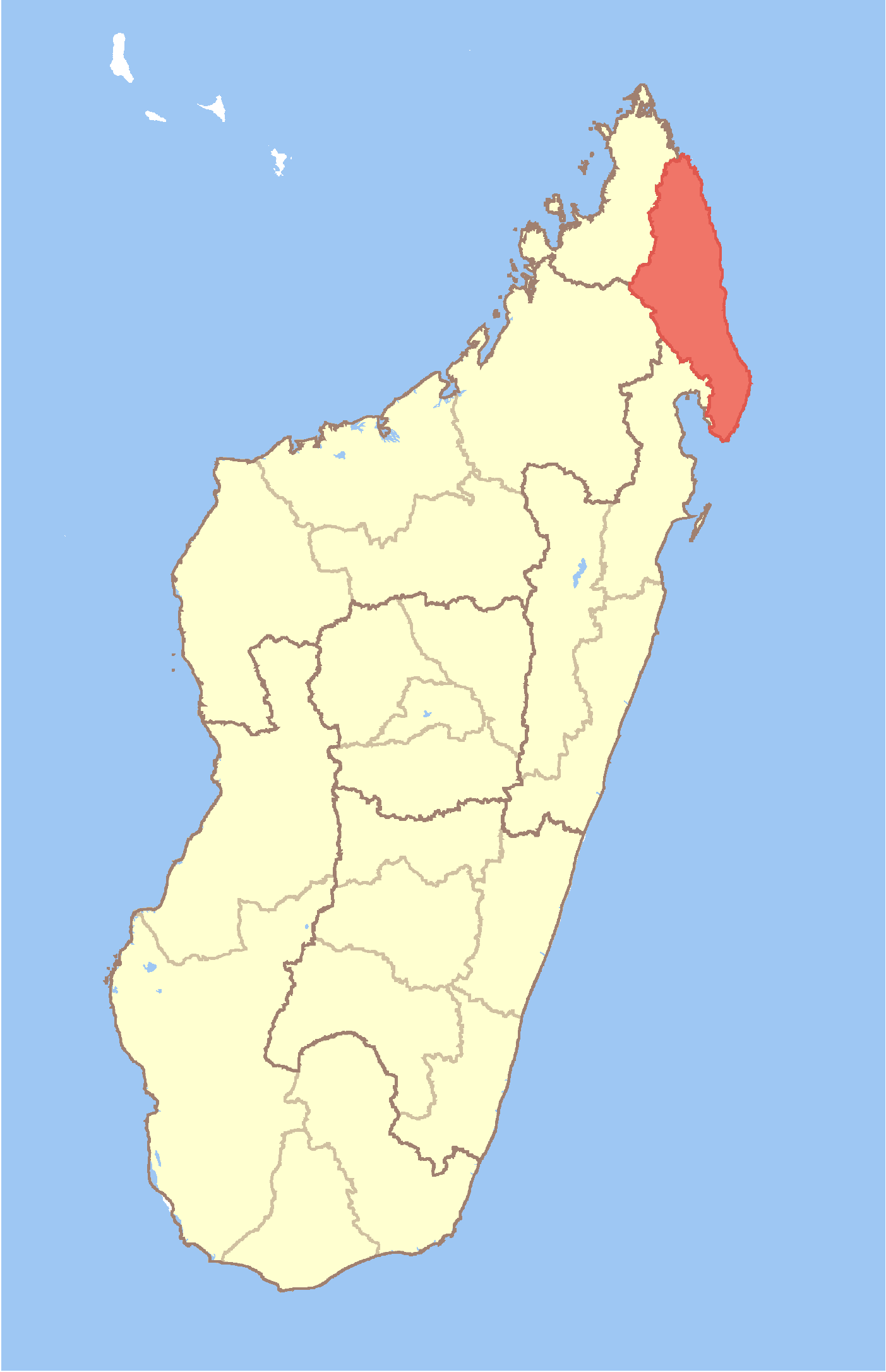
Marovato Location in Madagascar
 Marovato
Coordinates: 14°36′S 49°38′E / 14.6°S 49.633°E Country  Madagascar
Region Sava District Andapa Elevation[1] 505 m (1,657 ft) Population (2001)[2] – Total 5,747 Time zone EAT (UTC3) For other places with the same name, see Marovato (disambiguation).Marovato is a commune (Malagasy: kaominina) in northern Madagascar. It belongs to the district of Andapa, which is a part of Sava Region. According to 2001 census the population of Marovato was 5,747.[2]
Primary and junior level secondary education are available in town. The majority 98.5 % of the population are farmers. The most important crops are rice and vanilla, while other important agricultural products are peanut and beans. Services provide employment for 1.5 % of the population.[2]
References and notes
- ^ Estimated based on DEM data from Shuttle Radar Topography Mission
- ^ a b c "ILO census data". Cornell University. 2002. http://www.ilo.cornell.edu/ilo/data.html. Retrieved 2008-02-15.
Coordinates: 14°36′S 49°38′E / 14.6°S 49.633°E

This Sava region of Madagascar location article is a stub. You can help Wikipedia by expanding it.