- Sava Region
Infobox Settlement
official_name = Sava Region
other_name =
native_name =
nickname =
settlement_type = Region
motto =
imagesize =
image_caption =
flag_size =
image_
seal_size =
image_shield =
shield_size =
image_blank_emblem =
blank_emblem_type =
blank_emblem_size =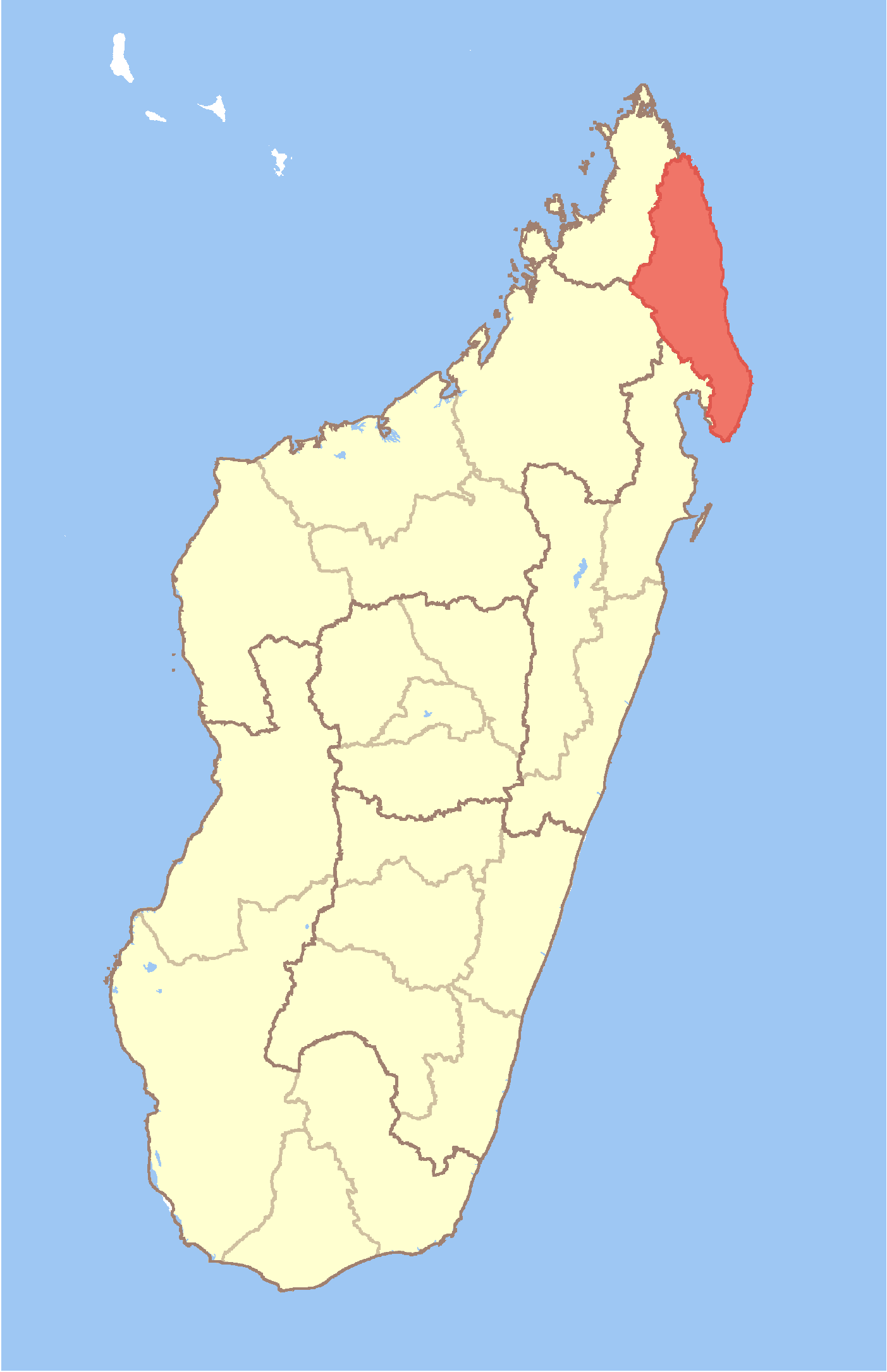
mapsize = 180px
map_caption = Location in Madagascar
mapsize1 =
map_caption1 =
image_dot_
dot_mapsize =
dot_map_caption =
dot_x = |dot_y =
pushpin_
pushpin_label_position =
pushpin_map_caption =
pushpin_mapsize =
subdivision_type = Country
subdivision_name = MAD
subdivision_type1 = Province
subdivision_name1 = Antsiranana
subdivision_type2 =
subdivision_name2 =
subdivision_type3 =
subdivision_name3 =
subdivision_type4 =
subdivision_name4 =
seat_type = Capital
seat =Sambava
government_footnotes =
government_type =
leader_title =
leader_name =
leader_title1 =
leader_name1 =
leader_title2 =
leader_name2 =
leader_title3 =
leader_name3 =
leader_title4 =
leader_name4 =
established_title =
established_date =
established_title2 =
established_date2 =
established_title3 =
established_date3 =
area_magnitude =
unit_pref =
area_footnotes =
area_total_km2 = 25518
area_land_km2 =
area_water_km2 =
area_total_sq_mi =
area_land_sq_mi =
area_water_sq_mi =
area_water_percent =
area_urban_km2 =
area_urban_sq_mi =
area_metro_km2 =
area_metro_sq_mi =
area_blank1_title =
area_blank1_km2 =
area_blank1_sq_mi =
population_as_of =2004
population_footnotes =
population_note =
population_total =805300
population_density_km2 =31.6
population_density_sq_mi =
population_blank1_title =Ethnicities
population_blank1 =
population_blank2_title =Religions
population_blank2 =
timezone = EAT
utc_offset = 3
timezone_DST =
utc_offset_DST =
latd= |latm= |lats= |latNS=S
longd=|longm= |longs= |longEW=E
elevation_footnotes =
elevation_m =
elevation_ft =
postal_code_type =
postal_code =
area_code =
blank_name =
blank_info =
blank1_name =
blank1_info =
website =
footnotes =Sava is a region in
Antsiranana Province ofMadagascar . Its capital isSambava . The region is situated at the northern part of the east coast of Madagascar. It is bordered by Diana to the North, Sofia to the West andAnalanjirofo to the South. The population was estimated to be 805,300 in 2004 and area is convert|25518|km2|sqmi|0|abbr=on.cite web
url = http://documents.wfp.org/stellent/groups/public/documents/ena/wfp086538.pdf
title = Madagascar: Profil des marchés pour les évaluations d’urgence de la sécurité alimentaire
accessdate = 2008-02-24
language=French
publisher=Programme Alimentaire Mondial, Service de l’Evaluation des besoins d’urgence (ODAN)
author=Ralison, Eliane
coauthors=Goossens, Frans]The region is divided into 4 districts, Sambava, Antalaha, Vohemar, and Andapa. The name of the region is composed of its four principal towns:
Sambava ,Antalaha ,Vohémar , andAndapa . Each of these towns claims the honorific title "World capital ofvanilla ," a spice of which (under the namevanilla Bourbon ) the region is the largest producer in the world. Its economic importance encouraged the reconstruction of the road that connects the towns, called the "Route de la vanille" ("Vanilla route") in the second half of 2005.References
Wikimedia Foundation. 2010.