- Lower Towamensing Township, Pennsylvania
Geobox Township
name = Lower Towamensing Township
native_name =
other_name =
other_name1 =
category =
image_size =
image_caption =
flag_size =
symbol =
symbol_size =
country = United States
state = Pennsylvania
region = Carbon
region_type = County
district =
area_imperial = 21.2
area_land_imperial = 21.1
area_water_imperial = 0.1
area_water_percentage = auto
area_percentage_round = 2
area_round = 1
location =
lat_d = 40
lat_m = 48
lat_s = 00
lat_NS = N
long_d = 75
long_m = 37
long_s = 31
long_EW = W
elevation_imperial = 449
elevation_round = 1
population_as_of = 2000
population = 3173
population_density_imperial = 150.4
population_density_round = 1
established_type =
established =
mayor =
timezone = EST
utc_offset = -5
timezone_DST = EDT
utc_offset_DST = -4
postal_code =
postal_code_type =
area_code = 570
area_code_type =
code2_type =
code2 =
free_type =
free =
free1_type =
free1 =
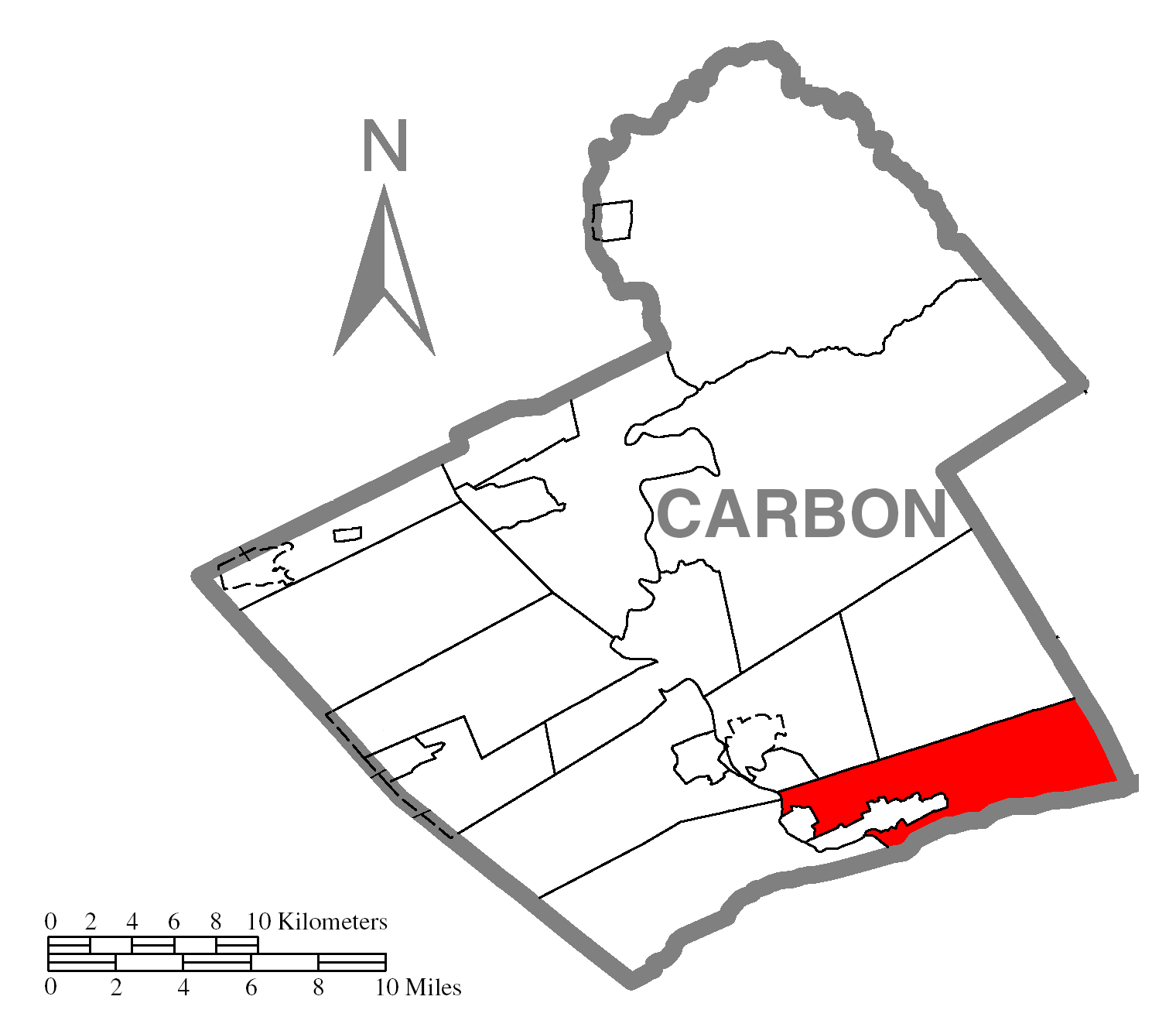
map_caption = Location of Lower Towamensing Township in Carbon County
map1 = Pennsylvania Locator Map.png
map1_locator = Pennsylvania
map2 = Map of USA PA.svg
map2_caption = Location of Pennsylvania in the United States
website =Lower Towamensing Township is a township in Carbon County,
Pennsylvania ,United States . The population was 3,173 at the 2000 census.Geography
According to the
United States Census Bureau , the township has a total area of 21.2square mile s (54.8km² ), of which, 21.1 square miles (54.6 km²) of it is land and 0.1 square miles (0.1 km²) of it (0.24%) is water.Demographics
As of the
census GR|2 of 2000, there were 3,173 people, 1,207 households, and 900 families residing in the township. Thepopulation density was 150.4 people per square mile (58.1/km²). There were 1,296 housing units at an average density of 61.4/sq mi (23.7/km²). The racial makeup of the township was 98.74% White, 0.13% Native American, 0.06% Asian, 0.44% from other races, and 0.63% from two or more races. Hispanic or Latino of any race were 1.04% of the population.There were 1,207 households out of which 31.0% had children under the age of 18 living with them, 64.0% were married couples living together, 7.0% had a female householder with no husband present, and 25.4% were non-families. 19.2% of all households were made up of individuals and 8.7% had someone living alone who was 65 years of age or older. The average household size was 2.61 and the average family size was 2.99.
In the township the population was spread out with 22.9% under the age of 18, 7.5% from 18 to 24, 31.1% from 25 to 44, 24.5% from 45 to 64, and 14.0% who were 65 years of age or older. The median age was 39 years. For every 100 females there were 100.3 males. For every 100 females age 18 and over, there were 100.2 males.
The median income for a household in the township was $36,414, and the median income for a family was $40,855. Males had a median income of $32,113 versus $23,654 for females. The
per capita income for the township was $16,878. About 6.5% of families and 8.3% of the population were below thepoverty line , including 13.0% of those under age 18 and 5.9% of those age 65 or over.Notable residents
*
Elisha Marshall , Brevet Brigadier General for theUnion Army in theAmerican Civil War [Citation | last1=Whelan | first1=Frank | title=Lower Towamensing house history tied to Civil War ** Elisha G. Marshall, a Union general, called it home in the 1880s. | newspaper=The Morning Call | pages=B.04 | year=2005 | date=December 28, 2005]References
Wikimedia Foundation. 2010.