- East Rockhill Township, Pennsylvania
Geobox Township
name = East Rockhill Township
native_name =
other_name =
other_name1 =
category = Township
image_size =
image_caption =
flag_size =
symbol =
symbol_size =
nickname =
motto =
country = United States
state = Pennsylvania
region = Bucks
region_type = County
district =
area_imperial = 13.1
area_land_imperial = 12.9
area_water_imperial = 0.2
area_water_percentage = auto
area_percentage_round = 2
area_round = 1
location =
lat_d = 40
lat_m = 26
lat_s = 18
lat_NS = N
long_d = 75
long_m = 16
long_s = 16
long_EW = W
elevation_imperial = 446
elevation_round = 1
population_as_of = 2000
population = 5199
population_density_imperial = 401.5
population_density_round = 1
government_type =
government =
established_type =
established =
mayor =
timezone = EST
utc_offset = -5
timezone_DST = EDT
utc_offset_DST = -4
postal_code =
postal_code_type =
area_code = 610
area_code_type =
code2_type =
code2 =
free_type =
free =
free1_type =
free1 =
map_size =
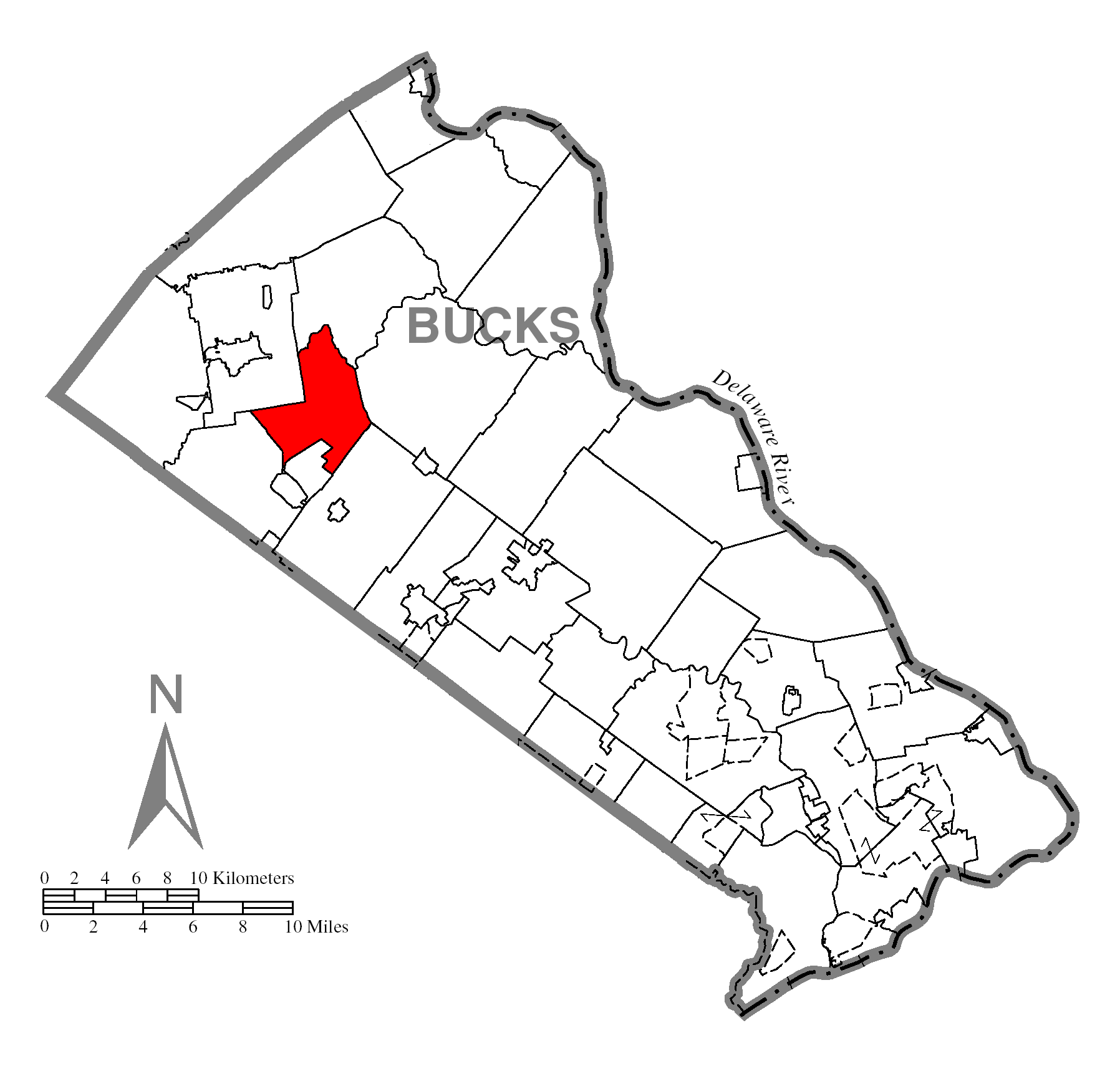
map_caption = Location of East Rockhill Township in Bucks County
map1 = Pennsylvania Locator Map.png
map1_caption = Location of East Rockhill Township in Pennsylvania
map1_locator = Pennsylvania
map2 = Map of USA PA.svg
map2_caption = Location of Pennsylvania in the United States
website =East Rockhill Township is a township in Bucks County,
Pennsylvania ,United States . The original Rockhill Township was established in 1740 and was divided into East and West Rockhill Townships in 1890. The population was 5,199 at the 2000 census.Geography
According to the
United States Census Bureau , the township has a total area of 13.1square mile s (33.9km² ), of which, 12.9 square miles (33.5 km²) of it is land and 0.2 square miles (0.4 km²) of it (1.14%) is water.Tohickon Creek flows along the eastern edge of the township.Demographics
As of the
census GR|2 of 2000, there were 5,199 people, 1,828 households, and 1,427 families residing in the township. Thepopulation density was 401.5 people per square mile (155.0/km²). There were 1,883 housing units at an average density of 145.4/sq mi (56.1/km²). The racial makeup of the township was 97.19% White, 0.81% African American, 0.40% Native American, 0.38% Asian, 0.06% Pacific Islander, 0.19% from other races, and 0.96% from two or more races. Hispanic or Latino of any race were 1.25% of the population.There were 1,828 households out of which 40.4% had children under the age of 18 living with them, 68.6% were married couples living together, 5.8% had a female householder with no husband present, and 21.9% were non-families. 17.1% of all households were made up of individuals and 5.4% had someone living alone who was 65 years of age or older. The average household size was 2.82 and the average family size was 3.21.
In the township the population was spread out with 28.8% under the age of 18, 6.3% from 18 to 24, 32.5% from 25 to 44, 23.6% from 45 to 64, and 8.9% who were 65 years of age or older. The median age was 36 years. For every 100 females there were 102.1 males. For every 100 females age 18 and over, there were 101.0 males.
The median income for a household in the township was $59,663, and the median income for a family was $70,645. Males had a median income of $43,134 versus $30,473 for females. The
per capita income for the township was $24,594. About 2.0% of families and 4.9% of the population were below thepoverty line , including 3.0% of those under age 18 and 7.6% of those age 65 or over.References
Wikimedia Foundation. 2010.