- Rygge Station
Infobox Norwegian station
name = Rygge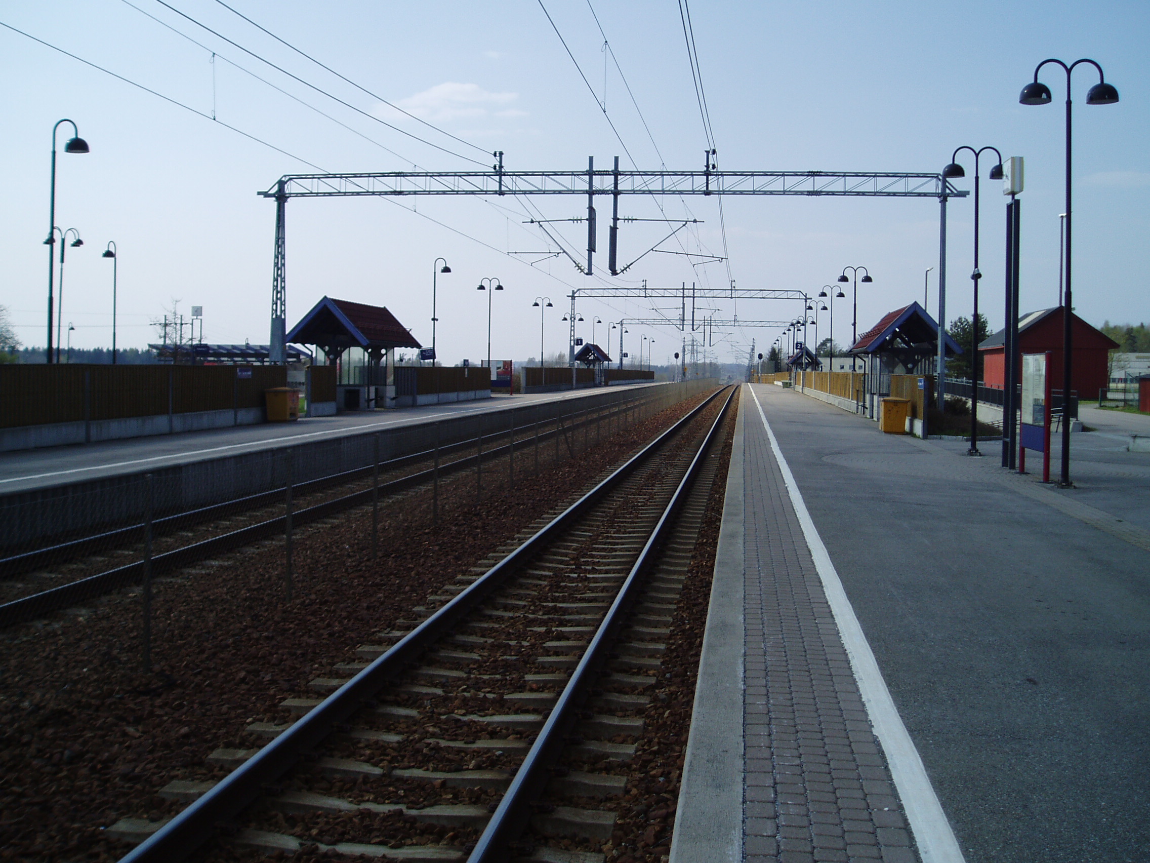
caption =
locale = Rygge
municipality =Rygge
line =Østfoldbanen
distance = 69.28 km
elevation = 26.4 m asl
coordinates =
start = 1879
architect =
platforms = 2
owner =Jernbaneverket
operator =Norges Statsbaner
t-bane =
line1 =
line2 =
line3 =
line4 =
line5 =
line6 =
airport =
tram =
bus = |Rygge Station ( _no. Rygge stasjon) is a
railway station located at the village ofRygge inNorway on the railwayØstfoldbanen . The station is served by regional trains betweenOslo andHalden with hourly headway byNorges Statsbaner .History
The station was opened in 1879 as part of Østfoldbanen. It received a major renovation in 2000 when the line was rebuilt to
double track .External links
* [http://www.jernbaneverket.no/jernbanenettet/stasjonssok/stasjonsoversikt/article.jhtml?articleID=1489032 Jernbaneverket page on Rygge] no icon
Nsb next line
line =Østfoldbanen
prestation = Moss
poststation = RådeNsb next regional
preøstfold = Moss
postøstfold = Råde
Wikimedia Foundation. 2010.