- Mount Shinn
-
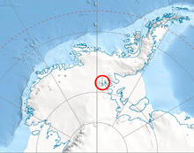 Location of Sentinel Range in Western Antarctica.
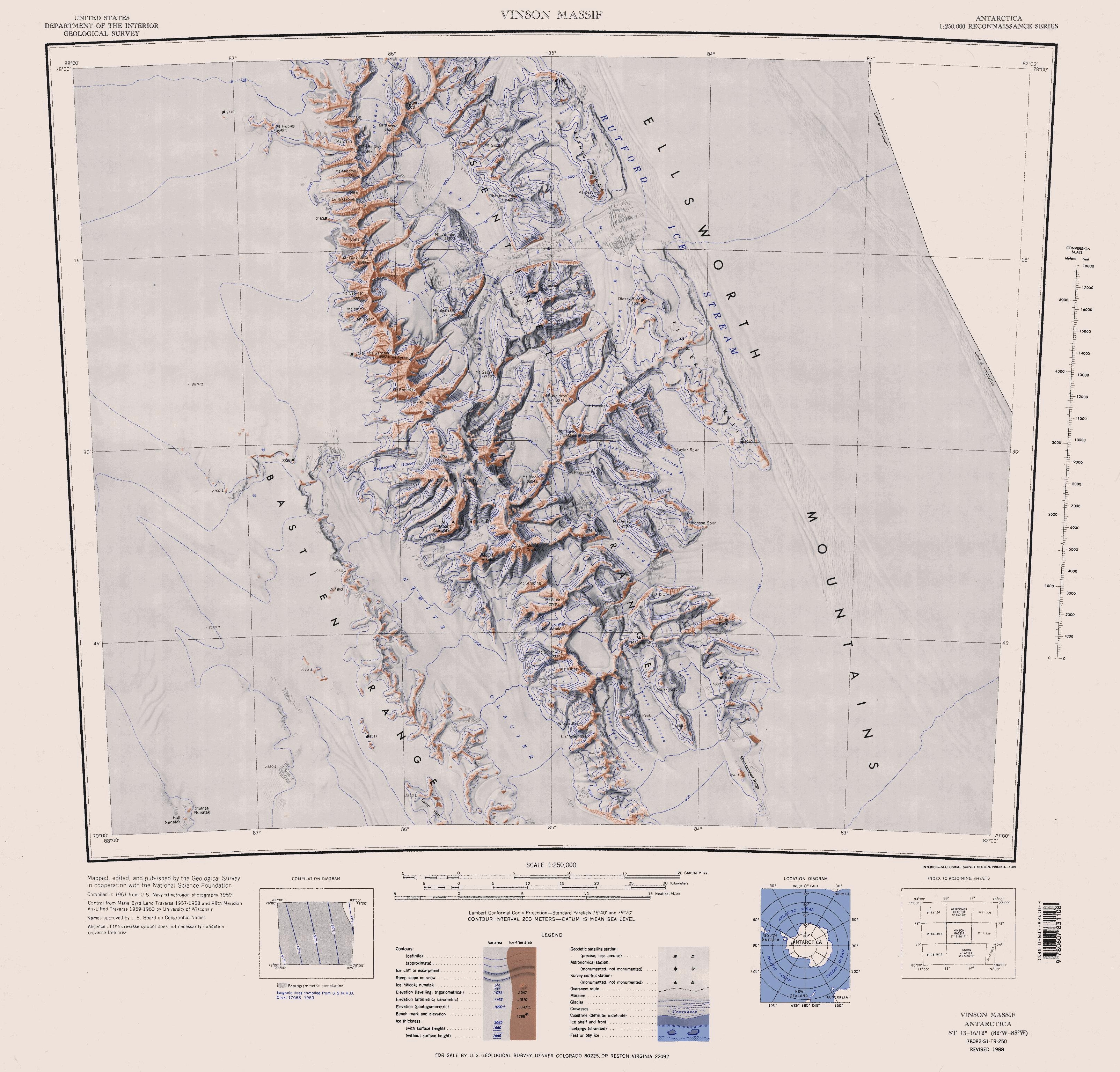
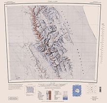 Sentinel Range map.
Mount Shinn (78°27′S 85°46′W / 78.45°S 85.767°W) is a mountain 4660m in altitude, standing 4 miles (6 km) southeast of Mount Tyree in the Sentinel Range, Ellsworth Mountains. Discovered on IGY reconnaissance flights in January 1958, and named by Advisory Committee on Antarctic Names (US-ACAN) for Lieutenant Commander Conrad S. (Gus) Shinn, U.S. Navy, pilot on some of these flights. Shinn was pilot of the Navy R4D aircraft carrying Admiral Dufek which, on October 31, 1956, made the first plane landing at the geographic South Pole. It had been thought to be over 4800m high, but was re-measured in 2001 by Damien Gildea and Rodrigo Fica of the Omega Foundation, using a Trimble 5700 GPS receiver and the Australian government's AUSPOS processing system.
 This article incorporates public domain material from the United States Geological Survey document "Mount Shinn" (content from the Geographic Names Information System).
This Ellsworth Land location article is a stub. You can help Wikipedia by expanding it.