- Parkton, North Carolina
Infobox Settlement
official_name = Parkton, North Carolina
settlement_type =Town
nickname =
motto =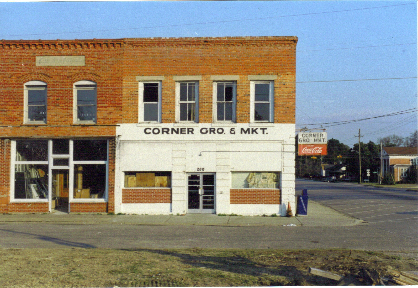
imagesize =
image_caption =The abandoned corner grocery in downtown Parkton
image_
mapsize = 250x200px
map_caption = Location of Parkton, North Carolina
mapsize1 =
map_caption1 =subdivision_type = Country
subdivision_name =United States
subdivision_type1 = State
subdivision_name1 =North Carolina
subdivision_type2 = County
subdivision_name2 = Robeson
government_footnotes =
government_type =
leader_title =
leader_name =
leader_title1 =
leader_name1 =
established_title =
established_date =unit_pref = Imperial
area_footnotes =area_magnitude =
area_total_km2 = 1.6
area_land_km2 = 1.6
area_water_km2 = 0.0
area_total_sq_mi = 0.6
area_land_sq_mi = 0.6
area_water_sq_mi = 0.0population_as_of = 2000
population_footnotes =
population_total = 428
population_density_km2 = 260.0
population_density_sq_mi = 673.4timezone = Eastern (EST)
utc_offset = -5
timezone_DST = EDT
utc_offset_DST = -4
elevation_footnotes =
elevation_m = 56
elevation_ft = 184
latd = 34 |latm = 54 |lats = 10 |latNS = N
longd = 79 |longm = 0 |longs = 38 |longEW = Wpostal_code_type =
ZIP code
postal_code = 28371
area_code = 910
blank_name = FIPS code
blank_info = 37-50340GR|2
blank1_name = GNIS feature ID
blank1_info = 0991877GR|3
website =
footnotes =Parkton is a town in Robeson County,
North Carolina , in theLumberton metro area, in theUnited States . The town was named because it was a place where farmers tied up their horses while waiting for thetrain . As of the 2000 census, the town population was 428.Geography
Parkton is located at coor dms|34|54|10|N|79|0|38|W|city (34.902911, -79.010662).GR|1
According to the
United States Census Bureau , the town has a total area of 0.6square mile s (1.7km² ), all of it land.Demographics
As of the
census GR|2 of 2000, there were 428 people, 175 households, and 114 families residing in the town. Thepopulation density was 673.4 people per square mile (258.2/km²). There were 193 housing units at an average density of 303.7/sq mi (116.4/km²). The racial makeup of the town was 77.10% White, 14.72% African American, 3.27% Native American, 1.64% Asian, 1.40% from other races, and 1.87% from two or more races. Hispanic or Latino of any race were 5.37% of the population.There were 175 households out of which 26.9% had children under the age of 18 living with them, 49.7% were married couples living together, 10.9% had a female householder with no husband present, and 34.3% were non-families. 28.0% of all households were made up of individuals and 12.6% had someone living alone who was 65 years of age or older. The average household size was 2.45 and the average family size was 3.01.
In the town the population was spread out with 24.3% under the age of 18, 6.3% from 18 to 24, 30.6% from 25 to 44, 22.7% from 45 to 64, and 16.1% who were 65 years of age or older. The median age was 38 years. For every 100 females there were 88.5 males. For every 100 females age 18 and over, there were 86.2 males.
The median income for a household in the town was $32,321, and the median income for a family was $39,167. Males had a median income of $25,556 versus $20,938 for females. The
per capita income for the town was $15,111. About 3.3% of families and 5.8% of the population were below thepoverty line , including 5.6% of those under age 18 and 7.0% of those age 65 or over.Parkton has many churches of differing denominations. The town also has a post office, bank, Shell Gas Station, and a new restaurant called "Mac's Grill."
References
External links
Wikimedia Foundation. 2010.