- Coustouges
-
Coustouges

 Coustouges
Administration Country France Region Languedoc-Roussillon Department Pyrénées-Orientales Arrondissement Céret Canton Prats-de-Mollo-la-Preste Intercommunality Haut Vallespir Mayor Jean-Marie Malignon
(2008–2014)Statistics Elevation 411–1,120 m (1,348–3,670 ft)
(avg. 827 m/2,713 ft)Land area1 16.86 km2 (6.51 sq mi) Population2 134 (1999) - Density 8 /km2 (21 /sq mi) INSEE/Postal code 66061/ 66260 1 French Land Register data, which excludes lakes, ponds, glaciers > 1 km² (0.386 sq mi or 247 acres) and river estuaries. 2 Population without double counting: residents of multiple communes (e.g., students and military personnel) only counted once. Coordinates: 42°22′07″N 2°39′02″E / 42.3686111111°N 2.65055555556°E
Coustouges (Catalan: Costoja) is a commune in the Pyrénées-Orientales department in southern France. Inhabitants are called Coustougiens (male) or Coustougiennes (female).
Contents
Geography
Coustouges is the second most southerly commune of mainland France, after Lamanère. The village is situated at an altitude of 832 m.
History
Coustouges was previously recorded with the name Costogia in 936, Custajas or Costogia, and finally Coustouges (end of the 19th century). It was a dependancy of the Abbey of Arles-sur-Tech from 988 until the French Revolution.
Personalities linked to the commune
- Francesc Sabaté Llopart (1915-1960), anarchist, anti-Francoist maquisard,spent several years in Coustouges
- François Pinault, French entrepreneur, bought a house there in September 2004.
Images
-
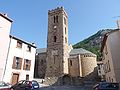
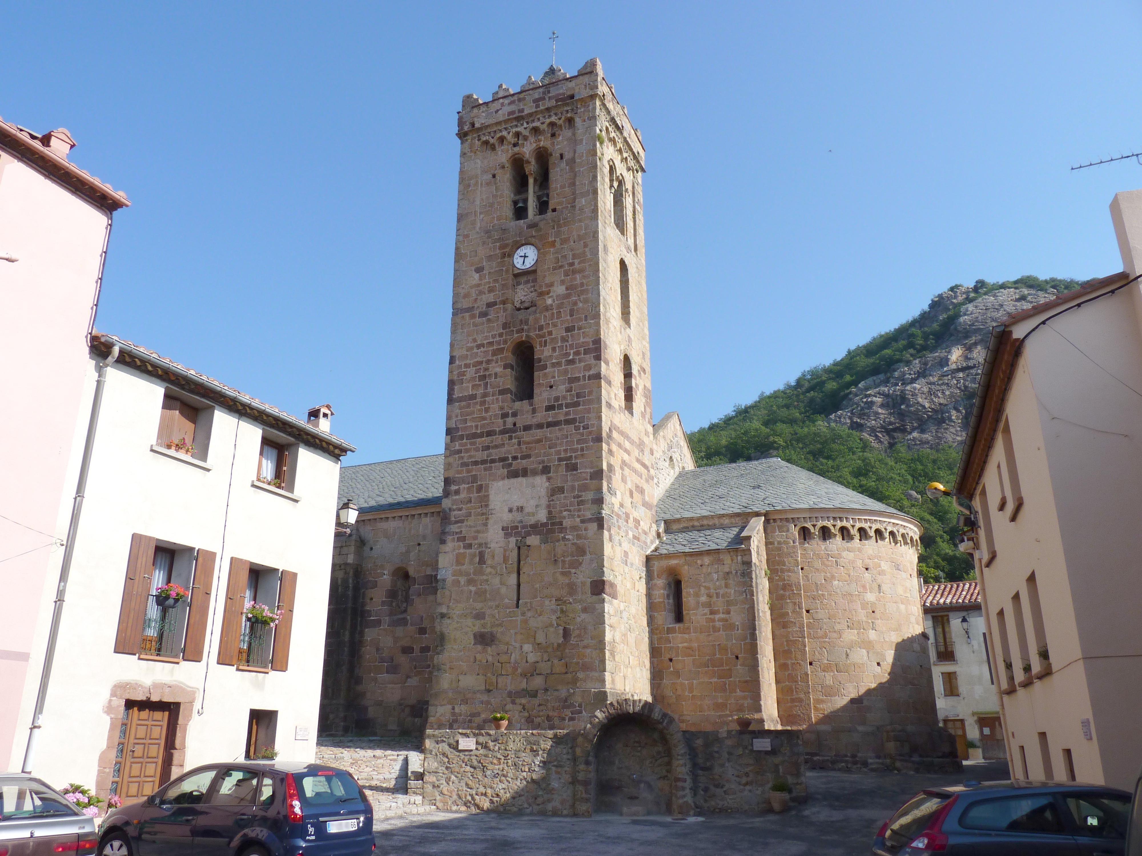
Church of Notre-Dame de l’Aubépine
-
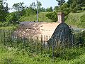
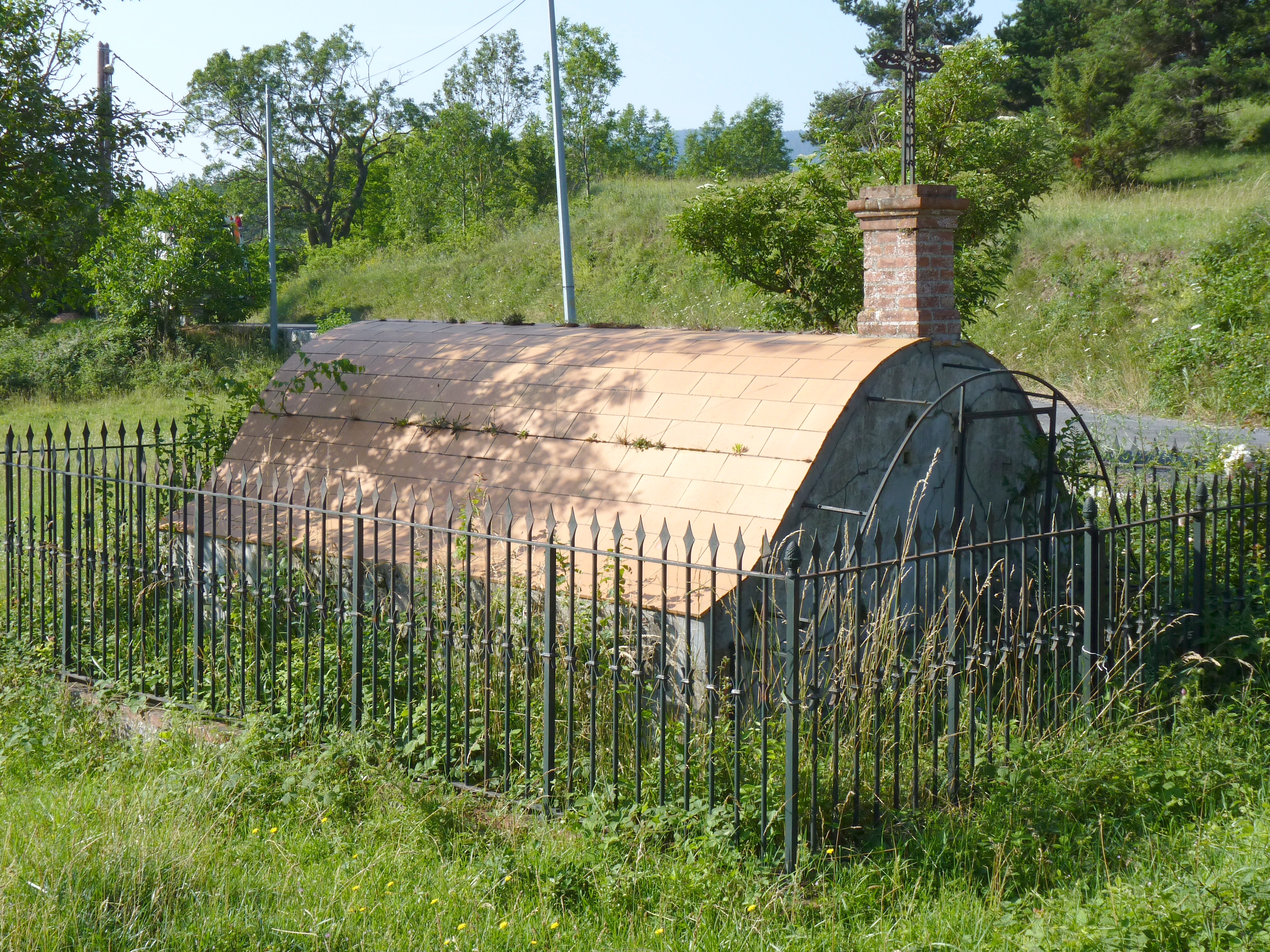
Tomb of an old family
-
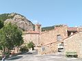
View of the church from the square
-
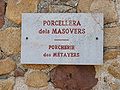
Typical street name plaque in Coustouges
See also
References
Categories:- Communes of Pyrénées-Orientales
- Pyrénées-Orientales geography stubs


Wikimedia Foundation. 2010.