- Mount Talang
-
Talang Gunung Talang 
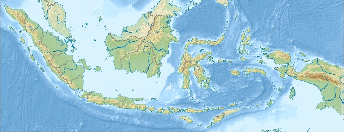
Talang, July 2007Elevation 2,597 m (8,520 ft) [1] Listing Ribu Location West Sumatra, Indonesia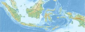
 Talang
Coordinates 00°58′42″S 100°40′46″E / 0.97833°S 100.67944°ECoordinates: 00°58′42″S 100°40′46″E / 0.97833°S 100.67944°E[1] Geology Type Stratovolcano Last eruption 2007[1] Mount Talang (Indonesian: Gunung Talang) (2,597 m) is an active stratovolcano in West Sumatra, Indonesia. Talang has two crater lakes on its flanks, the largest of which is 1 x 2 km wide and is called Lake Talang.
According to the Smithsonian Institution Global Volcanism Program, Mount Talang has had eight confirmed eruptions between 1833 and 1968.[1] A minor eruption followed in April 2005, over 25,000 inhabitants of the local area being evacuated due to fears of further volcanic eruptions. Geologists say that the eruption in April 2005 is connected to the devastating December 2004 Indian Ocean earthquake.[2]
The pitcher plant Nepenthes talangensis is named after the mountain and is thought to be endemic to its upper slopes.[3][4]
See also
References
- ^ a b c d "Talang". Global Volcanism Program, Smithsonian Institution. http://www.volcano.si.edu/world/volcano.cfm?vnum=0601-16=. Retrieved 2010-05-10.
- ^ Johnston, Tim (April 13, 2005). "Indonesian Volcanoes Erupt; Thousands Evacuated". VOA News. http://www.theepochtimes.com/news/5-4-13/27829.html. Retrieved 2006-04-22.
- ^ Nerz, J. & A. Wistuba 1994. Five new taxa of Nepenthes (Nepenthaceae) from North and West Sumatra. Carnivorous Plant Newsletter 23(4): 101–114.
- ^ Clarke, C.M. 2001. Nepenthes of Sumatra and Peninsular Malaysia. Natural History Publications (Borneo), Kota Kinabalu.
Categories:- Stratovolcanoes
- Subduction volcanoes
- Active volcanoes
- Volcanoes of Sumatra
- Mountains of Indonesia
- Crater lakes
- Sumatra geography stubs

Wikimedia Foundation. 2010.