Neves, São Tomé and Príncipe
- Neves, São Tomé and Príncipe
-
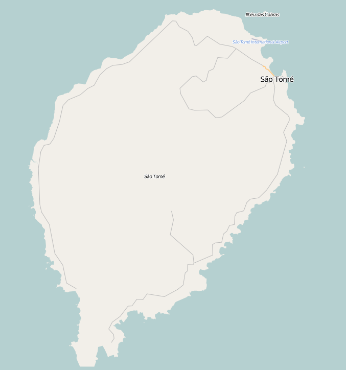
Neves is a small town on the north west coast of São Tomé Island in São Tomé and Príncipe. It is considered a likely location for a future deep water port. Currently, the city does not have a dock or pier capable of receiving ships. Neves is home to the few industrial facilities on the island, such as the petroleum terminal and the brewery. The fuel terminal receives fuel by floating a hose out to ships at anchor, and pumping the fuel ashore. Neves is linked to the capital with a highway. The highway almost encircles the island, which is the largest island in São Tomé and Príncipe. The majority of the population are urban and Neves is the second largest city on the island of Sao Tome.
Population History
| Historical populations |
| Year |
Pop. |
±% |
1990
(June 23, Census) |
5,919 |
— |
2000
(June 16, Census) |
6,635 |
+12.1% |
2005
(January 1, Estimate) |
7,392 |
+11.4% |
Education
Neves has schools or collegiates (colegio), a lyceum (middle schools), a small high school (gymnasia), churches, beaches, a small port and a few squares (praças).
Categories: - District and provincial capitals of São Tomé and Príncipe
- Populated places in São Tomé and Príncipe
- São Tomé and Príncipe geography stubs
Wikimedia Foundation.
2010.
Look at other dictionaries:
Neves Ferreira, São Tomé and Príncipe — Neves Ferreira Statistics Province/Island: Príncipe District: Pagué Location: 1.55/1°33 N lat. 7.4/7°24 E long. Neves Ferreir … Wikipedia
São Tomé and Príncipe — Democratic Republic of, a republic in W Africa, comprising the islands of São Tomé and Príncipe, in the Gulf of Guinea, N of the equator: a former overseas province of Portugal; gained independence in 1975. 147,865; 372 sq. mi. (964 sq. km). Cap … Universalium
Sao Tome and Principe — <p></p> <p></p> Introduction ::Sao Tome and Principe <p></p> Background: <p></p> Discovered and claimed by Portugal in the late 15th century, the islands sugar based economy gave way to coffee and… … The World Factbook
List of São Tomé and Príncipe-related topics — This is a partial list of topics related to São Tomé and Príncipe. Geography * Extreme points of São Tomé and Príncipe * List of volcanoes in São Tomé and Príncipe Landforms Islands * Ilheu Bom Bom * Ilhéu das Cabras * Ilhéu Caroço * Ilhéu das… … Wikipedia
Santana, São Tomé and Príncipe — Santana (Portuguese for the Saint Anne) is a city located on the eastern part of theisland of São Tomé, which is part of the island nation of São Tomé and Príncipe. It is the fourth largest city after São Tomé, Trinidade and Neves with a… … Wikipedia
Guadalupe, São Tomé and Príncipe — Guadelupe is a city located on the northern part of the island of São Tomé, which is part of the island nation of São Tomé and Príncipe. It is the eight largest city with a population of 1,734. The city is also serves as the capital of Lobata… … Wikipedia
Sao Tome and Principe — República Democrática de São Tomé e Príncipe Demokratische Republik São Tomé und Príncipe … Deutsch Wikipedia
National Assembly of São Tomé and Príncipe — São Tomé and Príncipe This article is part of the series: Politics and government of São Tomé and Príncipe President … Wikipedia
Districts of São Tomé and Príncipe — Districts of São Tomé and Príncipe … Wikipedia
List of colonial heads of São Tomé and Príncipe — The islands of São Tomé and Príncipe were discovered and claimed by Portugal in the 1470s. Government structures were set up in 1485. Each island was governed as a separate entity until 1753, when they were united as a single colony. In 1951, the … Wikipedia

 Neves
Neves São Tomé and Príncipe