Sutton — may mean:PlacesSutton, meaning south settlement in Saxon, is a very common place name. Places named Sutton include:United KingdomIn London:* London Borough of Sutton ** which includes Sutton, London ** historically Sutton Urban DistrictIn… … Wikipedia
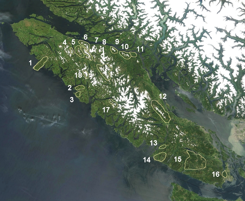
Sutton Peak — Infobox Mountain Name = Sutton Peak Photo = Caption = Elevation = Unit m|1874|0 Location = Vancouver Island, British Columbia, Canada Range = Sutton Range Prominence = Unit m|1364|0 Coordinates = coord|50|02|28.0|N|126|14|07.0|W|type:mountain… … Wikipedia
Sutton Place, Hackney — Sutton Place, is a small street in the London Borough of Hackney. It links Homerton High Street with St John s Church Gardens, in Hackney. The Georgian terrace of 1790 1806, is Grade II listed as a whole, together with the villas on the north… … Wikipedia
Sutton Peak (Antarktis) — Sutton Peak Bild gesucht BWf1 Höhe 1.410 … Deutsch Wikipedia
Sutton, London — infobox UK place country = England map type = Greater London region= London population= official name= Sutton static static image caption=View of Sutton town centre, as seen from the top of the Gibson Road car park. latitude= 51.3656 longitude= 0 … Wikipedia
Sutton Court — Infobox Historic building caption= name=Sutton Court location town=Stowey location country=England architect= client= engineer= construction start date= completion date=1558 date demolished= cost= structural system= style= map type=Somerset… … Wikipedia
Sutton Grammar School for Boys — Infobox UK school name = Sutton Grammar School for Boys size = latitude = 51.36509 longitude = 0.18974 dms = motto = Keep Faith / Floreat Suttona motto pl = Plural established = 1899 approx = type = Selective Grammar School religion = Christian… … Wikipedia
Sutton Park — Location map West Midlands lat=52.56174 long= 1.85392 width=200 float=right caption= Sutton Park shown within the West Midlands (gbmapping|SP1096)Sutton Park, in Sutton Coldfield, Birmingham, England, is one of the largest urban parks in Europe… … Wikipedia
Sutton High School (Massachusetts) — Infobox School name = Sutton High School native name = latin name = imagesize = caption = location = streetaddress = 383 Boston Road region = city = Sutton state = Massachusetts province = county = postcode = postalcode = zipcode = 01590 country … Wikipedia
Sutton Hoo — /hooh/ an archaeological site in Suffolk, England: a rowing boat, 80 feet (24 m) long, discovered here and believed to have been buried A.D. c670 by Anglo Saxons, possibly as a cenotaph in honor of a king. * * * Estate in Suffolk, England, the… … Universalium


