Bensenville (Metra)

Bensenville (Metra)

Infobox Station
name=Bensenville
type=Metra commuter rail


image_size=275px
image_caption=
address=110 West Main Street
Bensenville, Illinois
coordinates=
line=Rail color box|system=Metra|line=Milwaukee District/West
other=Pace
structure=
platform=2
depth=
levels=
tracks=2
parking=
bicycle=
baggage_check=
passengers=
pass_year=
pass_percent=
pass_system=
opened=
closed=
rebuilt=
electrified=
ADA=
code=
owned=
zone=D
former=
services=
mpassengers=

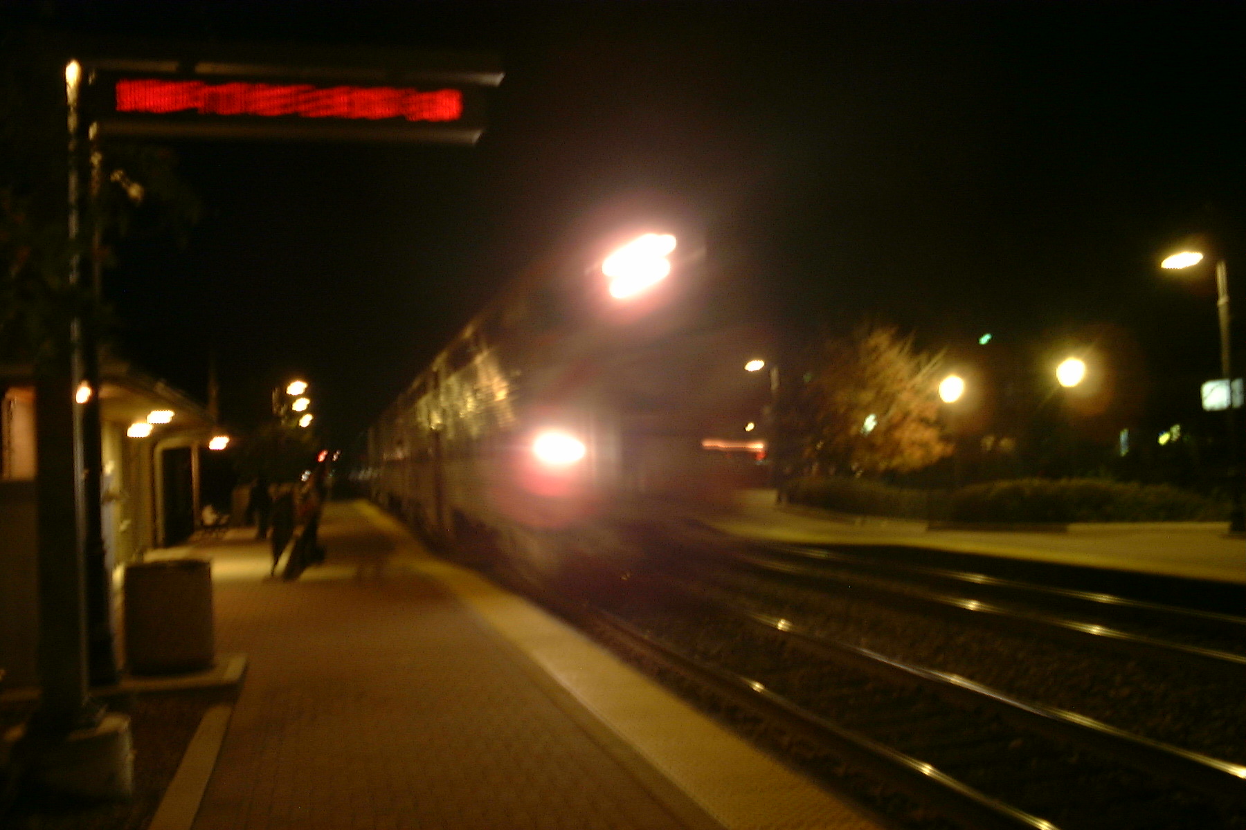
Bensenville is a station on Metra's Milwaukee District/West in Bensenville, Illinois. The station is convert|17.2|mi|km away from Union Station, the eastern terminus of the line. [ [http://hometown.aol.com/chirailfan/mmmilww.html Metra Railfan Tips - Milwaukee District/West] ] In Metra's zone-based fare system, Bensenville is in zone D.

Bensenville Station is actually located on the south side of Main Street across from the railroad tracks. A wide at-grade pedestrian crosswalk provides access between West Main Street and the station. Parking is available along the south side of West Main Street west of Addison Street, but also behind the station house at the intersection of Center & Railroad Streets.

Local transport

References

External links

*Chicago Railfan.net:
** [http://chicago.railfan.net/cgi/photos.pl/?show=at:Bensenville_station Bensenville Station]
** [http://chicago.railfan.net/cgi/photos.pl/?show=at:Bensenville_locomotive_yard Bensenville Locomotive Yard] , [http://chicago.railfan.net/cgi/photos.pl/?show=at:Bensenville_rail_yard Rail Yard] and [http://chicago.railfan.net/cgi/photos.pl/?show=at:Bensenville_yard Other Yard]


Wikimedia Foundation. 2010.

Игры ⚽ Нужно сделать НИР?

Look at other dictionaries:

  • Bensenville, Illinois — Chicagoland municipality muni name = Bensenville state = Illinois muni = Village date = 1884 county = DuPage county2 = Cook township = Addison gov = President Trustee head label = President gov head = John Geils pop = 20,703 density km = 1,330.0… …   Wikipedia

  • Mannheim (Metra) — Mannheim Station statistics Address Front Street and Lincoln Street Franklin …   Wikipedia

  • Milwaukee District/West Line — Overview Type Commuter Rail System Metra Termini Union Station Elgin/Big Timber Road Stati …   Wikipedia

  • Chicago — This article is about the U.S. city. For other uses, see Chicago (disambiguation). Windy City redirects here. For other uses, see Windy City (disambiguation). Chicago   City   City of Chicago …   Wikipedia

  • Elmhurst, Illinois — Counties: DuPage, Cook Township: Addison and York Incorporated: City, 1910 Mayor: Peter DiCianni ZIP code(s): 60126 …   Wikipedia

  • O'Hare International Airport — ORD redirects here. For other uses, see Ord (disambiguation). Ohare redirects here. For people with that name, see O Hare (surname). Chicago O Hare International Airport USGS aerial image, 2011 …   Wikipedia

  • Evanston, Illinois — Fountain Square County: Cook Township: Evanston Incorporated: C …   Wikipedia

  • Naperville, Illinois — Coordinates: 41°44′53″N 88°09′56″W / 41.74806°N 88.16556°W / 41.74806; 88.16556 …   Wikipedia

  • Western Springs, Illinois — Coordinates: 41°48′20″N 87°54′04″W / 41.80556°N 87.90111°W / 41.80556; 87.90111 …   Wikipedia

  • Oak Forest, Illinois — This article is about the city in Illinois. For the Houston, Texas neighborhood, see Oak Forest (Houston). Coordinates: 41°36′27″N 87°45′2″W / 41.6075°N 87.75 …   Wikipedia

Share the article and excerpts

Direct link
Do a right-click on the link above
and select “Copy Link”