- Ninety Mile Beach (Victoria)
-
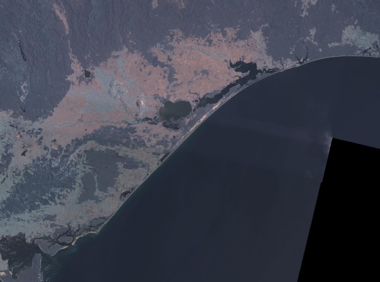
 False colour NASA landsat image of Ninety Mile Beach and the Gippsland Lakes
The Ninety Mile Beach is a sandy stretch of south-eastern coastline of Victoria, Australia along the Gippsland Lakes region of East Gippsland on Bass Strait. The beach is just over 151 kilometres (94 mi) long running northeastward from a spit near Port Albert to the man-made channel at Lakes Entrance. The beach is located just over 250 kilometres (160 mi) from Melbourne and can be reached from the South Gippsland Highway passing the coastal towns of Woodside, Seaspray, Golden Beach, and Loch Sport.
The beach is made up of long sandy dunes which separate the various lakes and lagoons from the ocean. For the northern part of its route the beach runs along a sandbar on what amounts to a series of tidal islands and behind which are several large lakes and numerous shallow littoral lagoons. The three main lakes are Lake King, Lake Victoria and Lake Wellington. The area comprises The Lakes National Park.
The beach's length ensures that the waves break too close to the beach for good surfing, and there are strong rip currents and cross-currents making the conditions somewhat hazardous for the inexperienced swimmer. The local authorities recommend that swimmers swim at Woodside, Seaspray and Lakes Entrance, which have life saving beach patrols during the summer season.
-
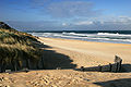
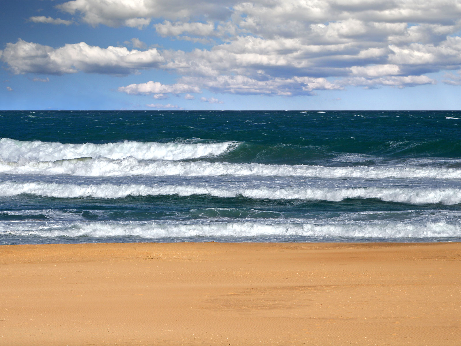
90 Mile beach
-
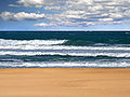
90 Mile beach
The beach is a white sand beach, with crashing waves and a natural bush environment. It is part of the Ninety Mile Beach Marine National Park, which covers 2,750 hectares and 5 kilometres (3.1 mi) of coastline, 30 kilometres (19 mi) south of Sale.[1] There are basic camping facilities within the park at Emu Bight, as well as accommodation at Seaspray and Lakes Entrance.
Rotamah Island, which is part of the Lakes National Park, has a large bird observatory, and can be visited by boat from Paynesville, about 6 kilometres (3.7 mi) away.
The beach is believed to be the third longest uninterrupted beach in the world, behind Praia do Cassino on the Brazilian southern coast and Padre Island on the US Gulf Coast.
Coordinates: 38°18′08″S 147°17′15″E / 38.3022°S 147.2875°E
References

This article about a location in Gippsland is a stub. You can help Wikipedia by expanding it. -