- Park Avenue Tunnel (roadway)
-
Coordinates: 40°44′56.3″N 73°58′47.8″W / 40.748972°N 73.979944°W
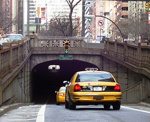 South end of tunnel
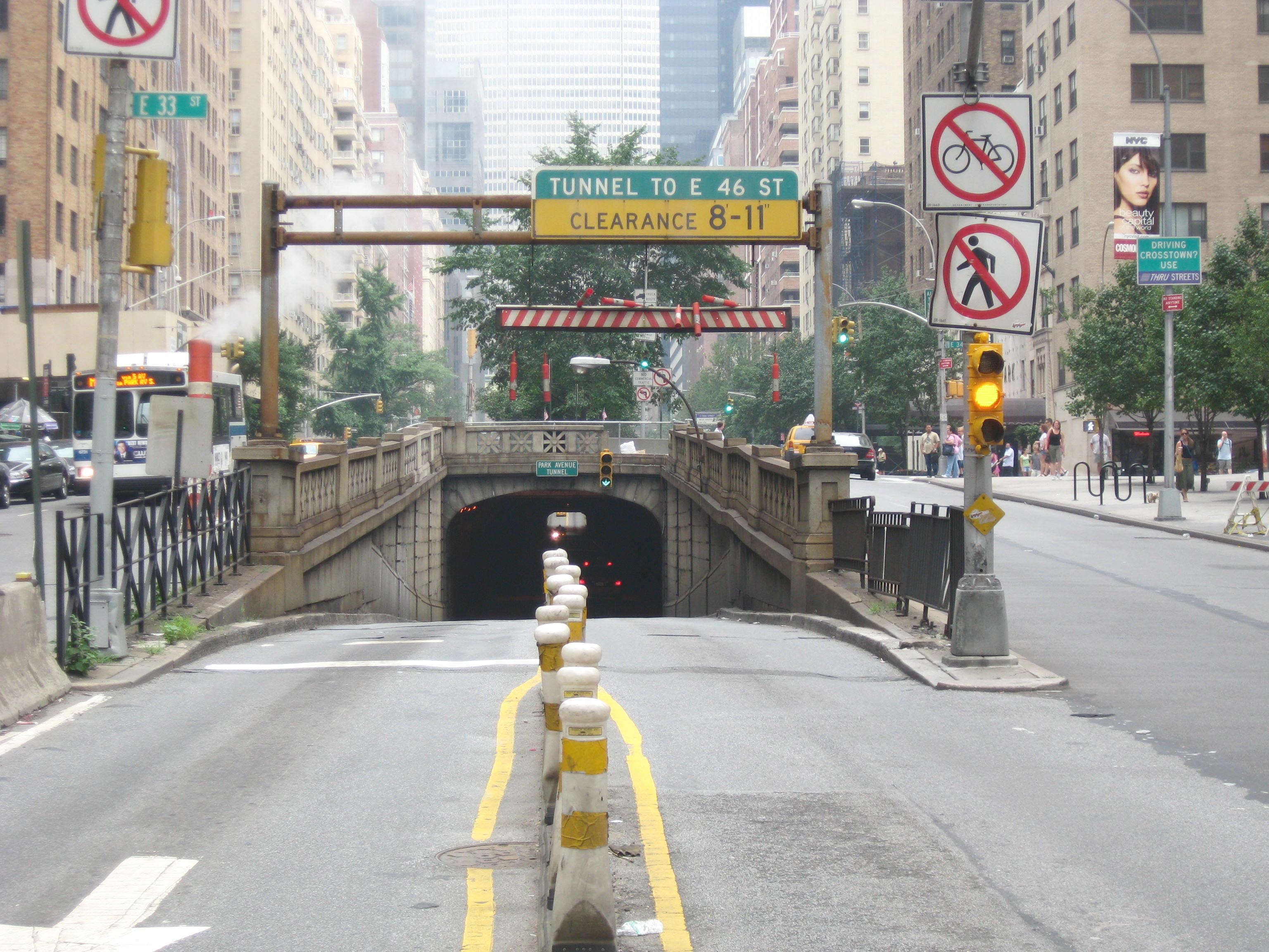
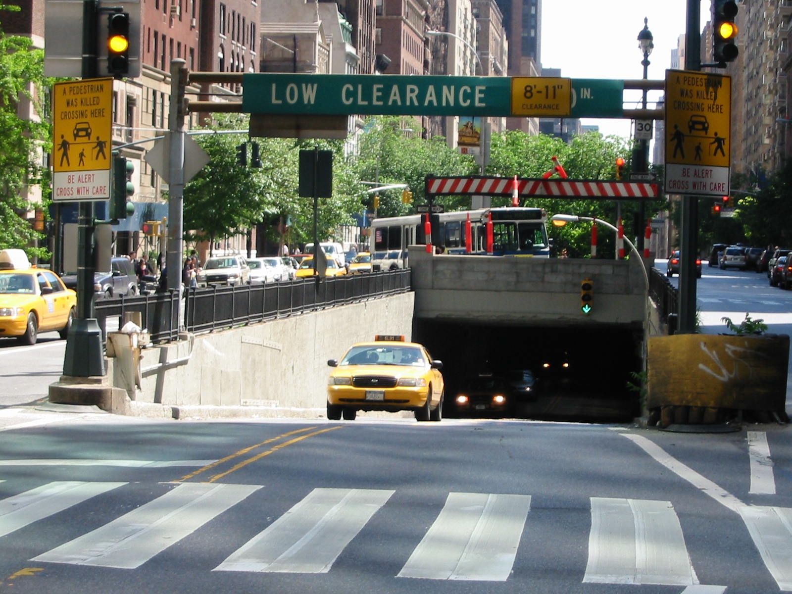
 South end, when previously configured for two way traffic
 North end, when configured for two way trafficThis article is about the road tunnel. For the railroad tunnel, see Park Avenue Tunnel (railroad).
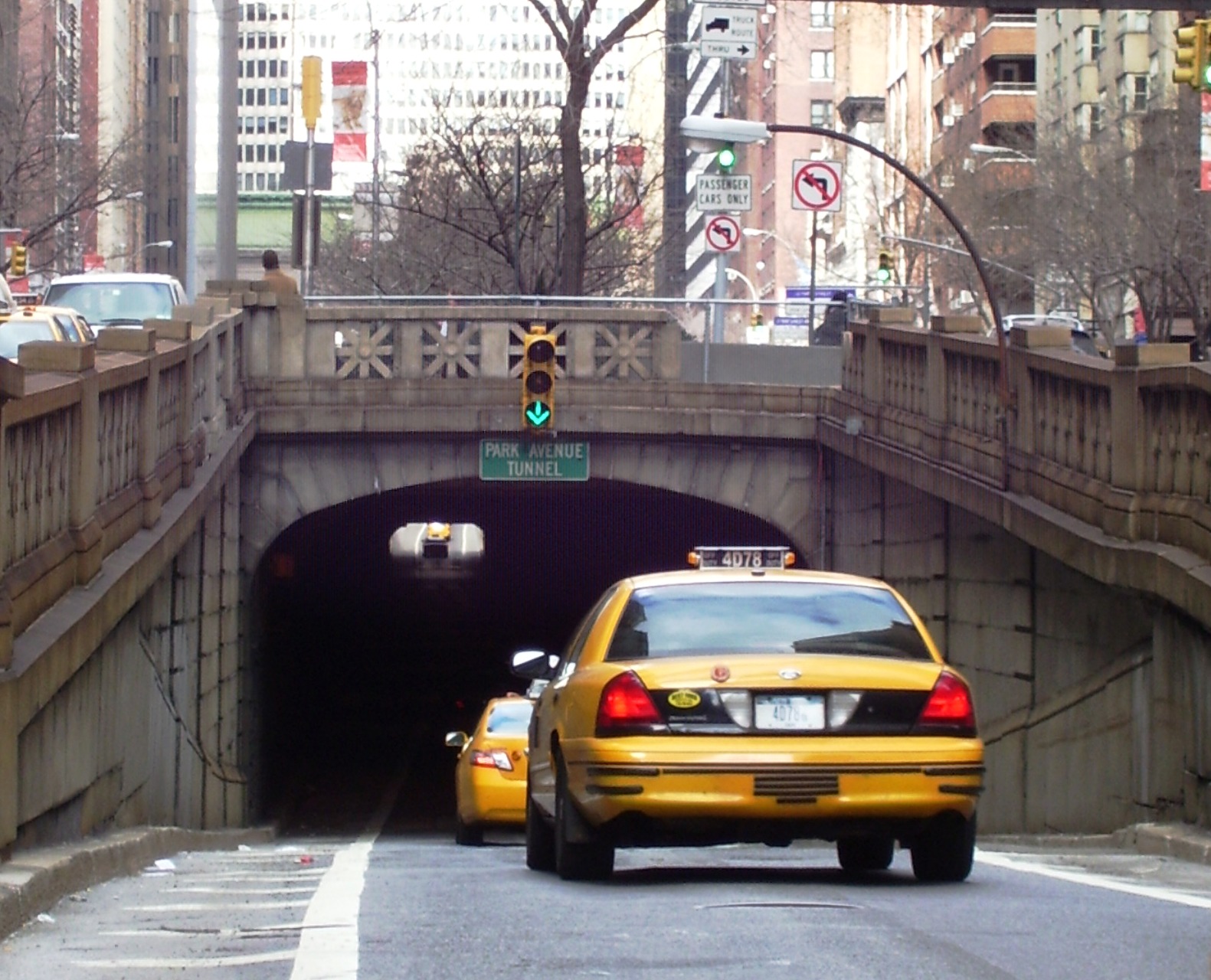
The Park Avenue Tunnel passes under Park Avenue in the New York City borough of Manhattan, leading towards Grand Central Terminal. It once carried the New York and Harlem Railroad and later that company's streetcar line and was called the Murray Hill Tunnel. Due to the construction of Grand Central Terminal and the removal of tracks, the north end has been reconstructed for a steeper approach. It is now under the jurisdiction of the New York City Department of Transportation, and carries one lane of northbound car traffic from East 33rd Street to East 40th Street. From 40th Street north, traffic can follow the Grand Central Terminal Park Avenue Viaduct. Prior to August 3, 2008, the tunnel carried two-way traffic, but was reconfigured to increase pedestrian safety.[1]
The tunnel was originally built as an open rock cut, completed in 1834, after which the NY&H Railroad was opened as far as Yorkville, to 85th Street. In the 1850s the cut was roofed over, using granite stringers from the original railroad bed south of 14th Street, thus creating the present tunnel.[2] The vertical clearance is 8 feet 11 inches (2.71 m).
The New York City Subway runs beneath the tunnel. Only the two center express tracks of the Lexington Avenue Line are directly below and therefore are a few feet lower than the two outer tracks.
See also
- Park Avenue Viaduct
References
- Notes
- ^ "DOT Announces Safety Upgrade at Park Avenue and 33rd Street/Trial Closure of Park Avenue Tunnel's Southbound Lane" (Press release). New York City Department of Transportation. August 1, 2008. http://www.nyc.gov/html/dot/html/pr2008/pr08_025.shtml. Retrieved 2010-02-19.
- ^ Gray, Christopher (July 21, 2011). "Putting the Park in Park Avenue". The New York Times. http://www.nytimes.com/2011/07/24/realestate/putting-the-park-in-park-avenue-streetscapesmidtown.html. Retrieved 2011-09-03.
External links
 Media related to Park Avenue Tunnel at Wikimedia Commons
- Abandoned Stations - 38 St
- Temporary closure; Aug 2008
Categories:- Railway tunnels in New York City
- Tunnels in New York City
- Murray Hill (Manhattan)
- New York Central Railroad bridges and tunnels
- Tunnels completed in 1834
Wikimedia Foundation. 2010.