Peechelba, Victoria

Peechelba, Victoria

Infobox Australian Place | type = town
name = Peechelba
state = vic


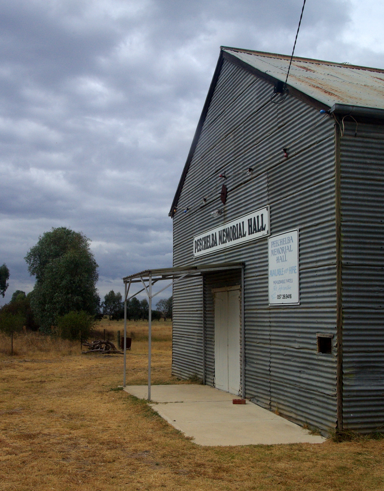
caption = The Peechelba Memorial Hall, several kilometres north of the township.
lga = Rural City of Wangaratta
postcode = 3678
est =
pop = 116
pop_footnotes=
elevation=
elevation_footnotes=
maxtemp =
mintemp =
rainfall =
stategov = Murray Valley
fedgov = Indi
dist1 = 277
dir1 = NE
location1= Melbourne
dist2 = 27
dir2 = NW
location2= Wangaratta
dist3 = 38
dir3 = SE
location3= Yarrawonga

Peechelba is a small town in north eastern Victoria , Australia. The town is located in the Rural City of Wangaratta Local Government Area between Wangaratta and Yarrawonga and convert|277|km|mi|0|lk=on north west of the state capital, Melbourne. At the 2006 census, Peechelba and the surrounding area had a population of 116.Census 2006 AUS
id=SSC26425
name=Peechelba East (State Suburb)
accessdate=2007-11-09
quick=on
]

The town is home to a nature reserve and is not far from the Ovens River.

History

Peechelba Post Office opened on 2 September 1880 to the north of the township now, and was renamed Bundalong South in 1883 when a new Peechelba office opened. This closed in 1889. In 1890 Peechelba Town office opened, closing in 1969.Citation
last = Premier Postal History | title = Post Office List | url = https://www.premierpostal.com/cgi-bin/wsProd.sh/Viewpocdwrapper.p?SortBy=VIC&country= | accessdate = 2008-04-11
]

Mad Dog Morgan

The bushranger Daniel Morgan (Mad Dog Morgan) was shot from behind by John Wendlan at Peechelba station. Morgan died at about 1.45 p.m. on 9 April 1865. Locks were cut from his hair, his body was publicly displayed at Wangaratta, his beard was flayed from his face as a souvenir and his head severed, to be forwarded to the professor of anatomy at the University of Melbourne. He was buried on 14 April in Wangaratta cemetery.

References


Wikimedia Foundation. 2010.

Игры ⚽ Нужно сделать НИР?

Look at other dictionaries:

  • List of localities in Victoria (Australia) — Map of Local Government Areas in Victoria This is a list of locality names and populated place names in the state of Victoria, Australia, outside the Melbourne metropolitan area. It is organised by region from the south west of the state to the… …   Wikipedia

  • List of closed railway stations in Victoria — This is a list of former railway stations and railway lines in Victoria, Australia. Many of these stations and lines have abandoned or demolished. For closed railway station in suburban Melbourne see List of closed railway stations in… …   Wikipedia

  • Oaklands railway line, Victoria — Not to be confused with Oaklands railway line, New South Wales. Oaklands railway railway line, Victoria Line details Commenced 1883/1886 Length 64 km (39.8 mi) in Victoria and 61 km (37.9 mi) in NSW Rail transport in Victoria …   Wikipedia

  • North East railway line, Victoria — VictorianRailwayLineInfobox type = vic name = North East yearcommenced = 1860 yearopened = yearcompleted = 1883 yearclosed = fate = lengthkm = stations = tracks = Two broad gauge tracks to Seymour (single tracks for each of Shepparton and Albury… …   Wikipedia

  • Milawa, Victoria — For the village in Poland, see Miława. Milawa Victoria Milawa Mustards cottage …   Wikipedia

  • Cheshunt, Victoria — For the English town which this village is named after, see Cheshunt. Cheshunt Victoria …   Wikipedia

  • Oxley, Victoria — Oxley Victoria Oxley Shire Hall, built in 1875 …   Wikipedia

  • Moyhu, Victoria — Moyhu Victoria Moyhu Hotel …   Wikipedia

  • County of Moira — Moira Victoria Location in Victoria Lands administrative divisions around Moira …   Wikipedia

  • North East railway line — For the mass transit line in Singapore, see North East MRT Line. North East railway line, Victoria Line details Commenced 1860 Completed 1883 …   Wikipedia

Share the article and excerpts

Direct link
Do a right-click on the link above
and select “Copy Link”