- Cromer Street
-
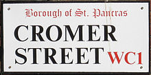 Sign showing the former borough
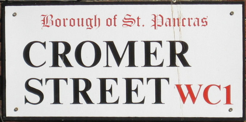
 Lucas Arms at the East end junction with Gray's Inn Road
Cromer Street is a road in Kings Cross in central London, England, UK. It starts in the west at Judd Street, then goes east, ending at Gray's Inn Road. It gave access from Gray's Inn Road to Greenland Place and a bowling green. It was formerly called Lucas Street but was renamed Cromer Street in 1818. In the earlier 1840s, it was described as occupied by a class of poor 'small tradesmen and artisan lodgers' in densely crowded lodgings.[1] On it is Church of the Holy Cross, which was built by Joseph Peacock and dedicated in 1888. The Boot Tavern in Cromer Street was the headquarters of the Gordon rioters and later was mentioned in Charles Dickens' book, Barnaby Rudge; it was rebuilt in 1801.[2]
105 houses were built in the street in the early 19th century but it has largely been rebuilt and consists of over 1,000 council and housing properties, mostly pre-1919 railway tenements of fine architectural qualities and 1970s high-rise blocks. The area has suffered deprivation and crime and in 1996, was the subject of a £46 million regeneration project.[3]
The nearest tube stations are King's Cross St. Pancras, Russell Square, and Euston.
References
- Walter H. Godfrey and W. McB. Marcham, ed (1952). Survey of London. vol. 24. London: Publisher: London County Council. pp. 94–95. http://www.british-history.ac.uk/report.aspx?compid=65566. Retrieved 28 January 2008.
- ^ Thomas Wakley, ed (1843). On the excess of diseases in large towns, and its causes. vol. 2. London: J. Onwhyn. pp. 775. http://books.google.co.uk/books?id=F_sBAAAAYAAJ&pg=RA4-PA775&dq=%22Cromer+Street%22+London&lr=&as_brr=3&client=firefox-a#PRA4-PA775,M1. Retrieved 28 January 2008.
- ^ Alexander John Philip, William Laurence Gadd, ed (1970). A Dickens Dictionary (2nd ed.). Ayer Publishing. pp. 330. ISBN 9780833727350. http://books.google.co.uk/books?id=XC0TW0lmqCkC&pg=PA330&dq=%22Cromer+Street%22+London&lr=&as_brr=3&client=firefox-a. Retrieved 28 January 2008.
- ^ Colquhoun, Ian (2003). Design out crime:creating safe and sustainable communities. London: Architectural Press. p. 284. ISBN 9780750654920. http://books.google.co.uk/books?id=BHQt9WXrrs4C&pg=PA284&dq=%22Cromer+Street%22+London&client=firefox-a. Retrieved 28 January 2008.
Coordinates: 51°31′40″N 0°07′19″W / 51.52778°N 0.12194°W
Categories:- Streets in Camden
- London road stubs

Wikimedia Foundation. 2010.