- Sheidow Park, South Australia
Infobox Australian Place | type = suburb
name = Sheidow Park
city = Adelaide
state = sa
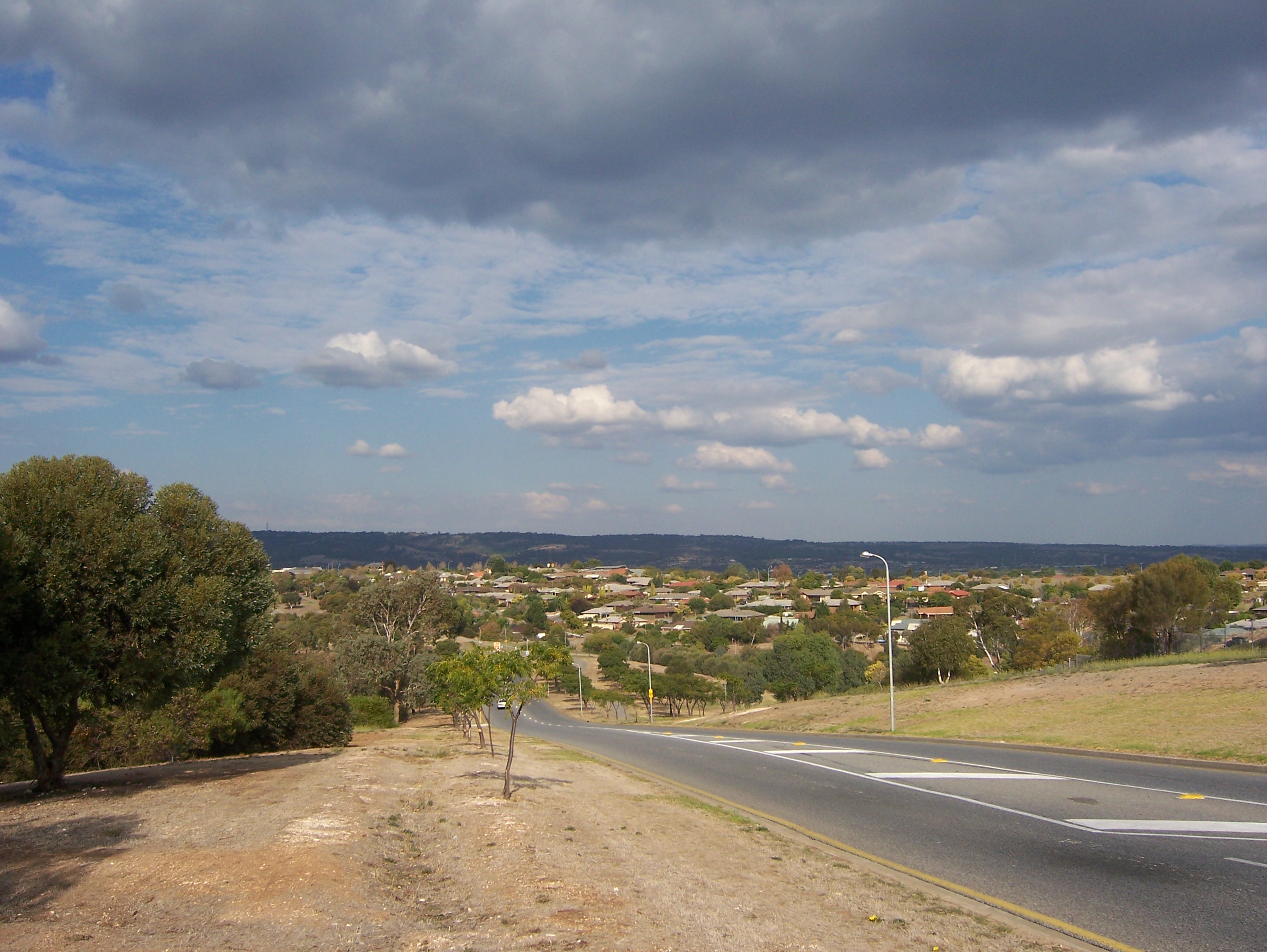
caption = View of Sheidow Park from Adams Rd.
lga =City of Marion
postcode = 5158
est =
pop = 5,667 (2006 census) [Census 2006 AUS|id =SSC42576|name=Sheidow Park (State Suburb)|accessdate=2008-07-02| quick=on]
area =
propval = [http://www.domain.com.au/Public/SuburbReport.aspx?searchTerm=5158&mode= $257,000] (2005)
stategov = Mitchell
fedgov = Kingston
near-nw = Hallett Cove
near-n = O'Halloran Hill
near-ne = Trott Park
near-w = Hallett Cove
near-e = Trott Park
near-sw = Field River
near-s = Reynella
near-se = Old Reynella
dist1 = 25
location1= City-centreSheidow Park (coord|35|04|S|138|31|E|region:AU-SA), is a suburb in the south of
Adelaide ,South Australia . The suburb is approximately 25km from the city-centre and is situated on coastal hills above theAdelaide Plains .History
:"See Also: Hurtle Vale"Named after the once prominent Sheidow pastoralist family that previously owned nearly all the land in the area, Sheidow Park is a relatively new suburb; residential development only really taking off in the late 1980s. The Sheidow family, formerly resident at a mansion over-looking Holdfast Bay, now reside on a large estate beside Hallet Cove Beach. Reflecting the suburb's agricultural past is the former railway track that winds through the area - an agricultural route in times gone by.
The suburb has been growing progressively larger, absorbing much of Trott Park. The first major residential development in Sheidow Park was that of the Hickenbotham Group's Woodend Estate. The estate, like other planned developments, was released in stages, finishing with the final release in the late 1990s. The estate was essentially square-shaped, bordered by four main boulevards. A curious point is the naming of the streets; it is often a difficult area for visitors to navigate on account of confusing street names, with an unusually high proportion named after either fruits or apparent 'somebodies'. Originally, there was a community centre with shops located centrally on Edward Beck Drive and Lemmon Road, opposite the sales centre. However, the centre closed after the owner wished to convert it into a
tavern . The proposal was met with fierce community oppositionfact| date=June 2007 culminating in the State Government's decision to purchase it and convert it into a primary school.As of 2007 , the suburb is still growing, expanding into the Field River Valley (locally know as 'the Gully') with the Southbank Estate development. The area's semi-rural character is becoming progressively more urban as the process of suburbanisation increases.chools
There are three schools located within Sheidow Park, all primary schools. Sheidow Park Primary School is public and caters for students Reception to Year 7. The school is the oldest within the suburb, and is located on Adams Road. Woodend Primary School is the other public school in the suburb and teaches students Reception to Year 7. It is the newest school in Sheidow Park, built in the 1990's and has state-of-the-art amenities. Students from the two public schools, upon finishing Year 7, generally attend secondary school at nearby Hallet Cove R-12 High School or Seaview High. The only private school in Sheidow Park is St. Martin de Porres, a Catholic school that teaches Years Reception to 5. Students from St. Martin's are generally channelled to other south-west Adelaide Catholic schools, including
Sacred Heart College Middle School , Marymount College and Cabra Dominican College.Transport
Sheidow Park is located close to the major north-south thoroughfares of
South Road andLondsdale Highway . Additionally, the area is serviced byAdelaide Metro bus routes;Southlink operates six bus routes: the 680, 681, 682, 684 routes, and the 734 and 734s route.References
ee also
*
List of Adelaide suburbs External links
Wikimedia Foundation. 2010.