- Cerro Pantoja
-
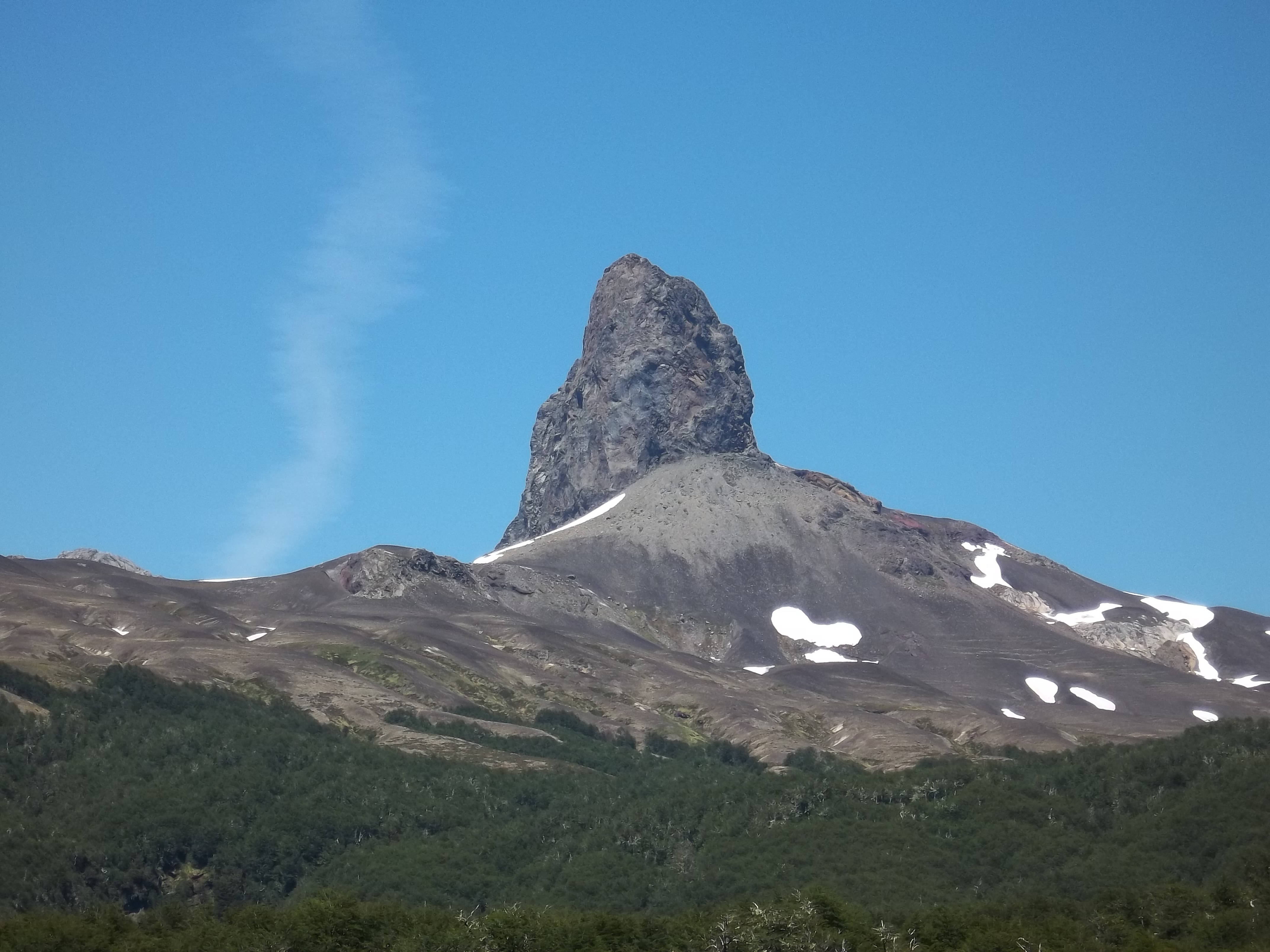
Cerro Pantoja 
Elevation 2,024 m (6,640 ft) Location Location Argentina/Chile Range Andes Coordinates 40°46′0″S 71°57′0″W / 40.766667°S 71.95°WCoordinates: 40°46′0″S 71°57′0″W / 40.766667°S 71.95°W Geology Type Stratovolcano Last eruption Unknown Cerro Pantoja, also spelled as Cerro Pantojo, is an extint stratovolcano on the border of Argentina and Chile. It lies immediately south of Cardenal Antonio Samoré Pass and its characteristic spire-shaped summit is an eroded volcanic plug.
See also
References
- "Cerro Pantoja". Global Volcanism Program, Smithsonian Institution. http://www.volcano.si.edu/world/volcano.cfm?vnum=1507-152.
Northern Volcanic Zone (6° N–3° S) Central Volcanic Zone (15°–27° S) Southern Volcanic Zone (33°–46° S) Note: volcanoes are ordered by latitude from north to south. Extinct volcanoes are those with 10,000 years without eruption. Categories:- Stratovolcanoes of Chile
- Mountains of Argentina
- Volcanoes of Argentina
- Volcanoes of Los Lagos Region
- Geography of Neuquén Province
- Volcanic plugs
- Polygenetic volcanoes
- Argentina geography stubs
- Los Lagos Region geography stubs
Wikimedia Foundation. 2010.