- Beeston Beck (Norfolk)
Geobox|River
name =Beeston Beck
native_name =
other_name =
category =
etymology =
nickname =

image_size =250
image_caption =Beeston Beck atSheringham Back Common
country =England
state = Norfolk
region = East of England
district = North Norfolk
municipality =
parent
tributary_left =
tributary_right =
city =
landmark =
river =
source =Sheringham Woods
mouth = East Beach, Sheringham.
length_imperial = 1.437
length_orientation =
width_imperial =
width_orientation =
depth_imperial =
volume_imperial =
warershed_imperial =
discharge_imperial =
discharge_max_imperial =
discharge_min_imperial =
Watermills_=
free_type =
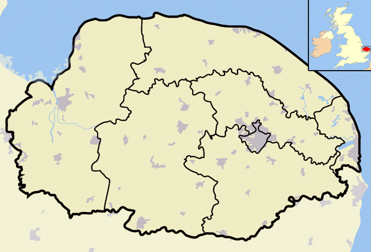
map_caption = Beeston Beck Within North Norfolk
map_background =
map_locator =
map_locator_x =66
map_locator_y =8
website =
footnotes =Beeston Beck is a minor watercourse in the north of the County Of
Norfolk This small short Beck rises in series of springs that feed into it at the northern end ofSheringham Wood. These springs are at the base of a valley below Pretty Corner and from this point the land becomes low lying. In the valley isBeeston Regis Common and the smaller Sheringham Common. These commons, being spring-fedwetland s, are classed a lowland valleyfen s and are part of theNorth Norfolk Special Area of Conservation (SAC), they are alsoSites of Special Scientific Interest (SSSI) in their own right. The important plant communities that exist have chalk and acid-loving plants growing within centimetres of each other. The beck runs across the common southwards. The Beck also marks the border between the parishes ofSheringham on the west bank andBeeston Regis on the East bank. The beck then runs along the western edge of the common alongside Brook Lane and at the end crosses under the A149 coast road. The beck now runs through the south eastern suburb of Sheringham known locally as the Back Common. The beck flows alongside Curtis Lane and under theBittern Line , Sheringham to Cromer railway line. Just on the otherside of the railway bridge it is joined by a tributary from the east, which runs from the direction of Church Lane and Beeston Regis Priory. The Beck now turns westwards and cuts across the bottom edge of allotments and then turns eastward around the back of Beeston Road. At this point Beeston Beck once was the supply for a watermill.heringham Watermill
Sheringham
watermill began operating in c.1750 [ [http://www.norfolkmills.co.uk/Watermills/sheringham.html] Norfolk Watermills] and was used in the processing ofcorn . By c.1865 the mill had been converted into apaper mill . The location of the Watermill was in Beeston Road which until 1901 had been called Paper Mill Road. The mills power came from an overshotwaterwheel . Beeston beck is only a small slow running beck and in order to power an overshot waterwheel there would have had to have been a good headwater. A Dam and a millpond would have provided this power but all traces of this engineering works have disappeared over the passing of time. It is believed that themill pond may well have been located on the site of what is now housing and local allotment gardens. ABlue plaque has been placed on the wall of a cottage in Beeston road at the location of the paper mill. The plaque was placed there by Sheringham & District Preservation Society [ [ http://www.north-norfolk.gov.uk/sheringhampreservation/default.asp] ] .The beck now runs along the rear of these cottages before entering a culvert which runs under Beeston Road and Beach Road and appears at an outflow in the wall of the sea defences on the beach. From there on it runs across the beach and into theNorth Sea .The Sheringham Loke Group
In June of 2007 a group was formed in Sheringham for the care and preservation of Beeston Beck and its Tributary Sheringham Back Loke. The “Sheringham Loke Group” [ [http://www.rivercare.org.uk/showgroup.asp Rivercare ] ] , as they call themselves, as there first project organized a Litter pick and stream
safari . With Help from UK RiverCare and donations of equipment fromAnglian Water the group managed to remove a variety of rubbish and flotsam which has accumulated over the years. Finds included brokenskateboard ,mobile phone , a snappedfishing rod , a variety of smashed pottery, several boots and shoes, scaffold poles and a further 10 black bags of rubbish. After the clean up operation, the group then undertook a survey of the wildlife in the watercourse. They were able to identify Freshwater shrimps (Gammarus),Mayfly larvae (Ephemeroptera), Caddisfly (Trichoptera) Larvae and Various species ofworm s andLeeches . They also discoveredStickleback fish (Gasterostreus aculeatus) and several species offrog s.References
Gallery
Wikimedia Foundation. 2010.