- Mae Raka
-
Mae Raka
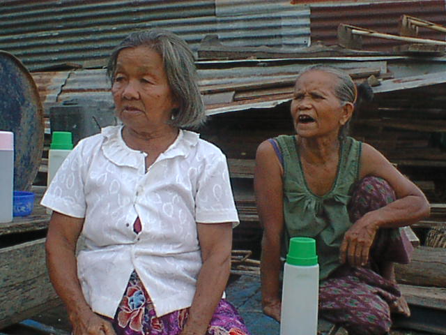
แม่ระกา— Tambon — Elders in Mae Raka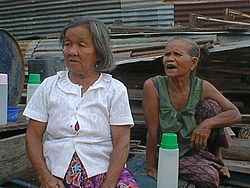
Coordinates: 17°10′00″N 100°37′00″E / 17.1666667°N 100.6166667°ECoordinates: 17°10′00″N 100°37′00″E / 17.1666667°N 100.6166667°E Country Thailand Province Phitsanulok Amphoe Wang Thong Population (2005) – Total 7,229 Time zone Thailand (UTC+7) Postal code 65130 Geocode 650803 Chief roadway Road to Route 11 Chief watercourse Canal to Wang Thong River via Nakhon Pa Mak Mae Raka (Thai: แม่ระกา) is a subdistrict in the Wang Thong District of Phitsanulok Province, Thailand.
Geography
Mae Raka lies within the Nan Basin, which is part of the Chao Phraya Watershed.
Administration
The subdistrict is subdivided into 15 smaller divisions called (muban), which roughly correspond to the villages within Mae Raka. There are 14 villages, one of which occupies two muban. Mae Raka is administrated by a Tambon administrative organization (TAO). The muban in Mae Raka are enumerated as follows: [1]
No. English Thai 1 Ban Taew บ้านแถว 2 Ban Mae Raka (part) บ้านแม่ระกา 3 Ban Nong Tha Rueang บ้านหนองตาเรือง 4 Ban Khek บ้านเข็ก 5 Ban Tam Thao บ้านถ้ำเต่า 6 Ban Nam Khong Nua บ้านน้ำโค้งเหนือ 7 Ban Laem Doo บ้านแหลมดู่ 8 Ban Wang Nam Sai บ้านวังน้ำใส 9 Ban Nong Phak Wan บ้านหนองผักหวาน 10 Ban Nong Bot บ้านหนองโบสถ์ 11 Ban Laem Khak บ้านแหลมคัก 12 Ban Dong บ้านดง 13 Ban Bueng Pan บ้านบึงปัน 14 Ban Thung Yai บ้านทุ่งใหญ่ 15 Ban Mae Raka Phatana บ้านแม่ระกาพัฒนา References
- ^ Pitlocal.org (Thai)
Categories:- Tambon of Phitsanulok Province
- Populated places in Phitsanulok Province
- Phitsanulok Province geography stubs
Wikimedia Foundation. 2010.